Uphill
234m
Length
7km
Duration
2h30min
Elev gain
234m
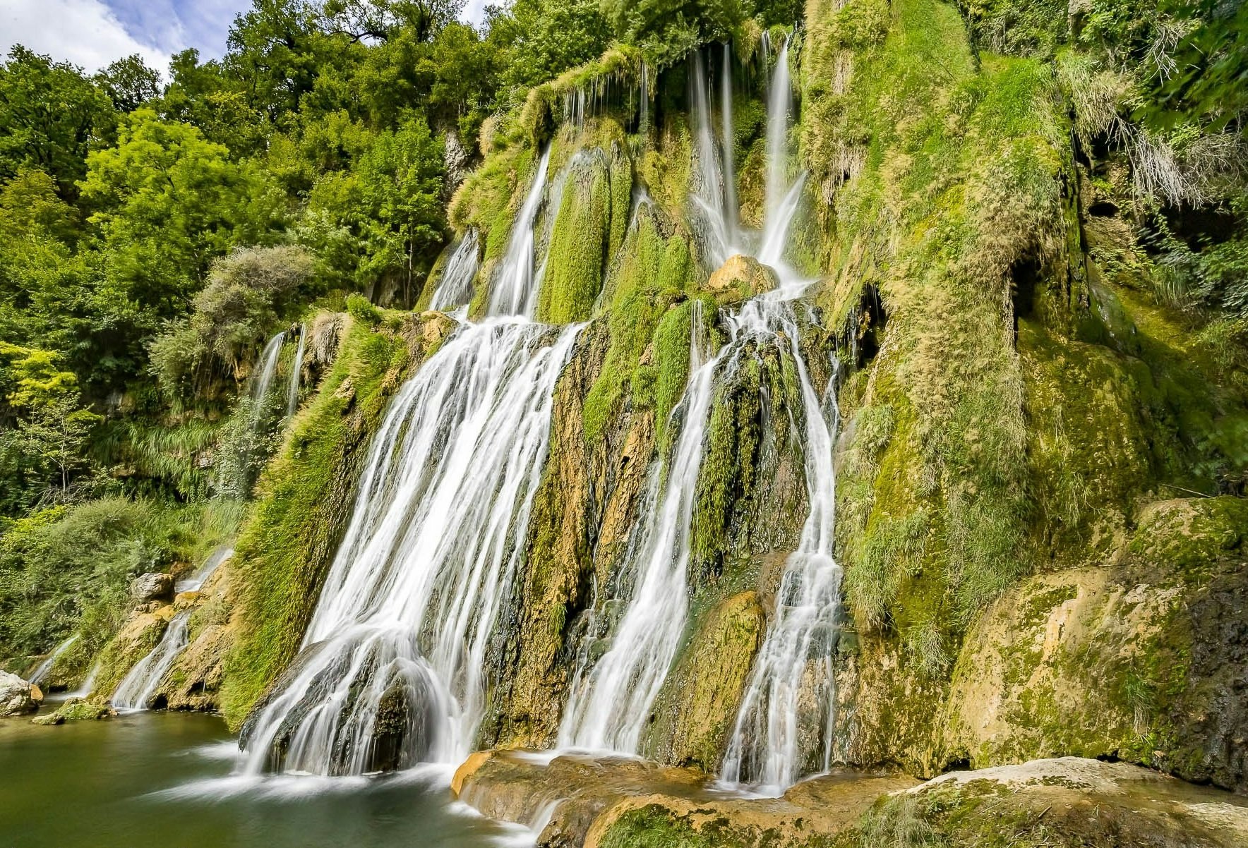
Leaving from Brégnier, this hike starts off quite steep and in the forest, before arriving at the charming Glandieu waterfall. The return to the starting point takes place in the plain, between fields and undergrowth.

Already more than 200,000 users!
Uphill
234m
Highest point
449m
Downhill
234m
Lowest point
207m
Route type
Loop
Download the map on your smartphone to save battery and rest assured to always keep access to the route, even without signal.
Includes IGN France and Swisstopo.
I indicate whether dogs are allowed or prohibited on this trail
All year
5 ratings
Le début est effectivement difficile, je déconseille aux non sportifs.
Le début est difficile mais la balade est sympa
Also enjoy:

Already more than 200,000 users!


