Uphill
193m
Length
7km
Duration
2h
Elev gain
193m
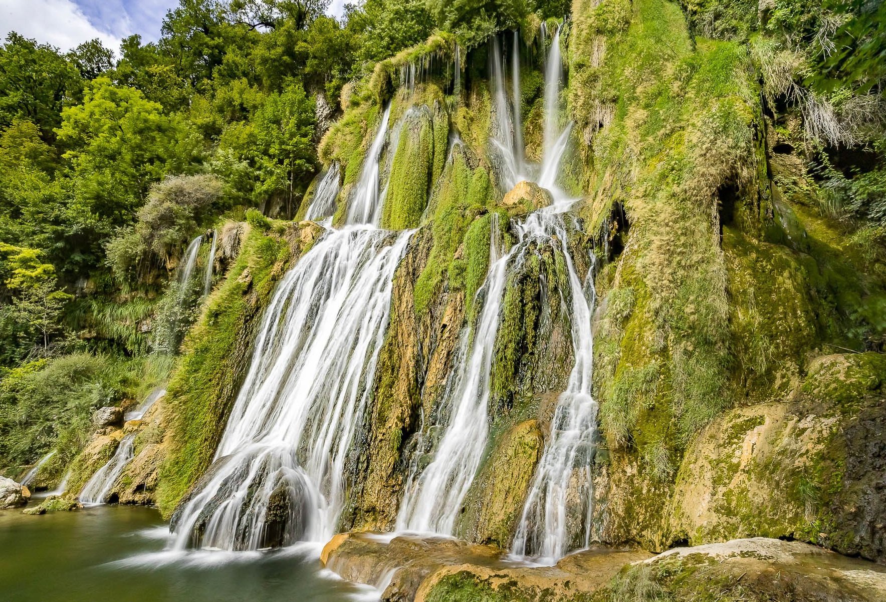
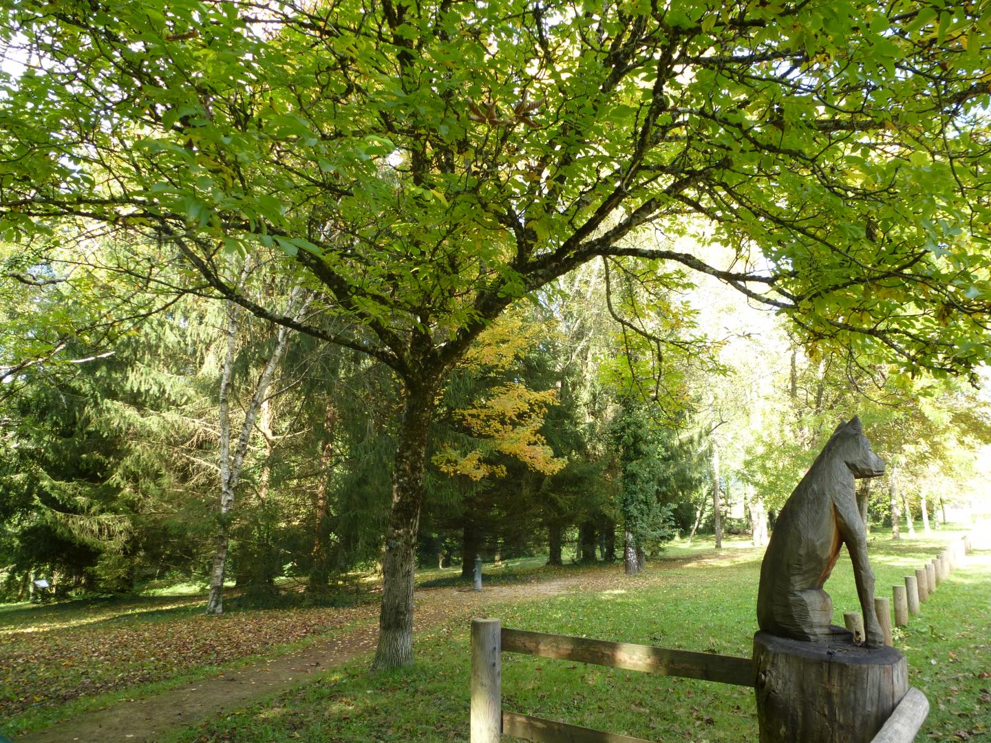
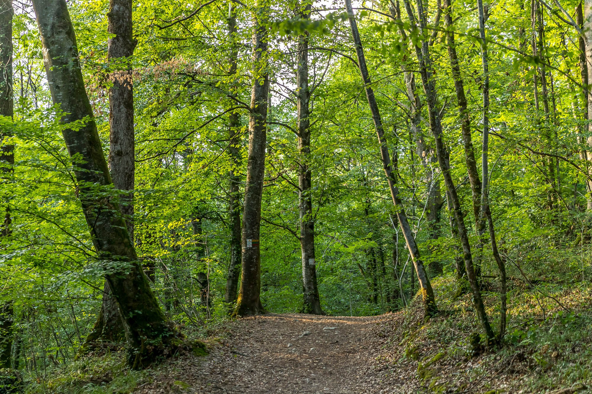
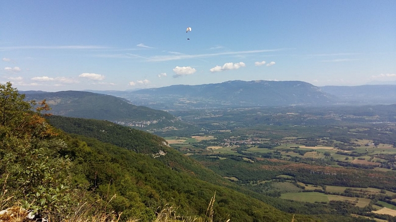
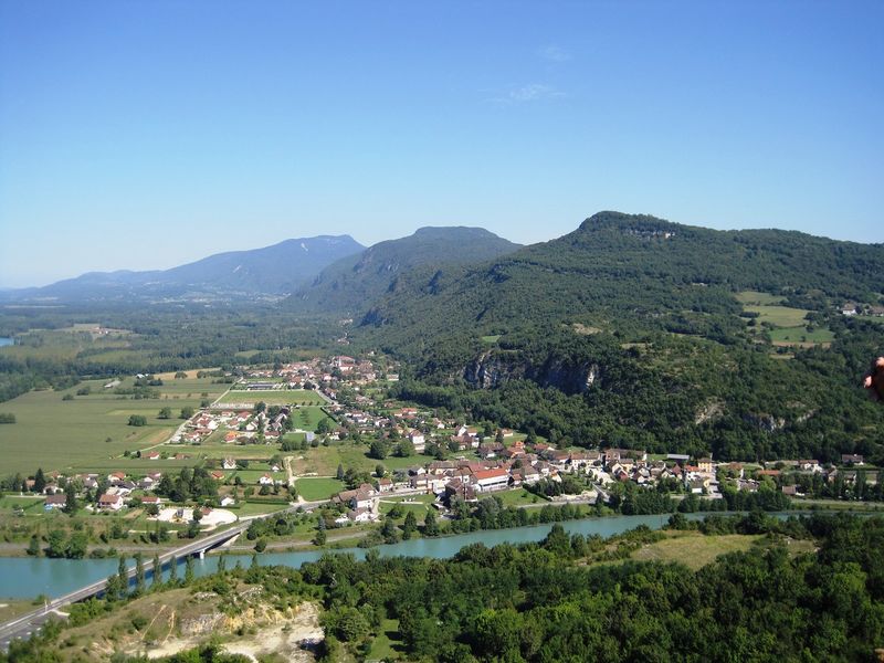
Ascent of Mont de Cordon (401 m) to its belvedere, offering a nice view of the Rhône and the Bugey.

Already more than 200,000 users!
Uphill
193m
Highest point
391m
Downhill
193m
Lowest point
216m
Route type
Loop
Download the map on your smartphone to save battery and rest assured to always keep access to the route, even without signal.
Includes IGN France and Swisstopo.
I indicate whether dogs are allowed or prohibited on this trail
All year
0 ratings
Also enjoy:

Already more than 200,000 users!