Uphill
288m
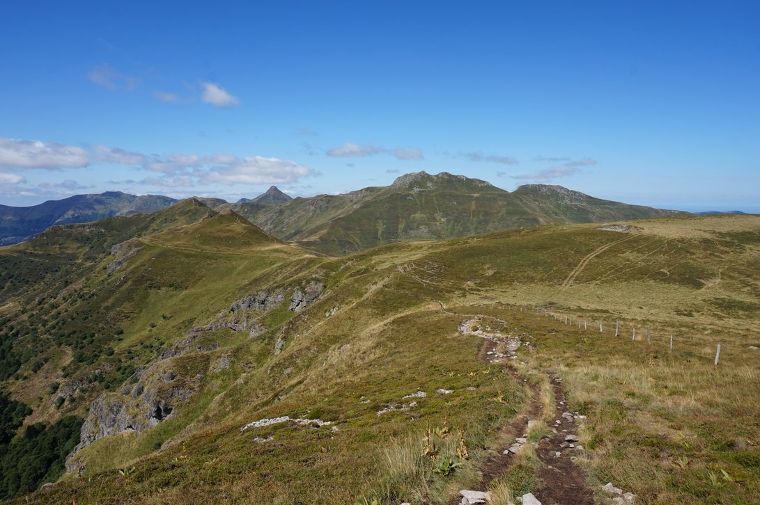
France > Auvergne-Rhône-Alpes > Cantal > Volcans d'Auvergne Regional Natural Park
Length
8km
Duration
2h30min
Elev gain
288m
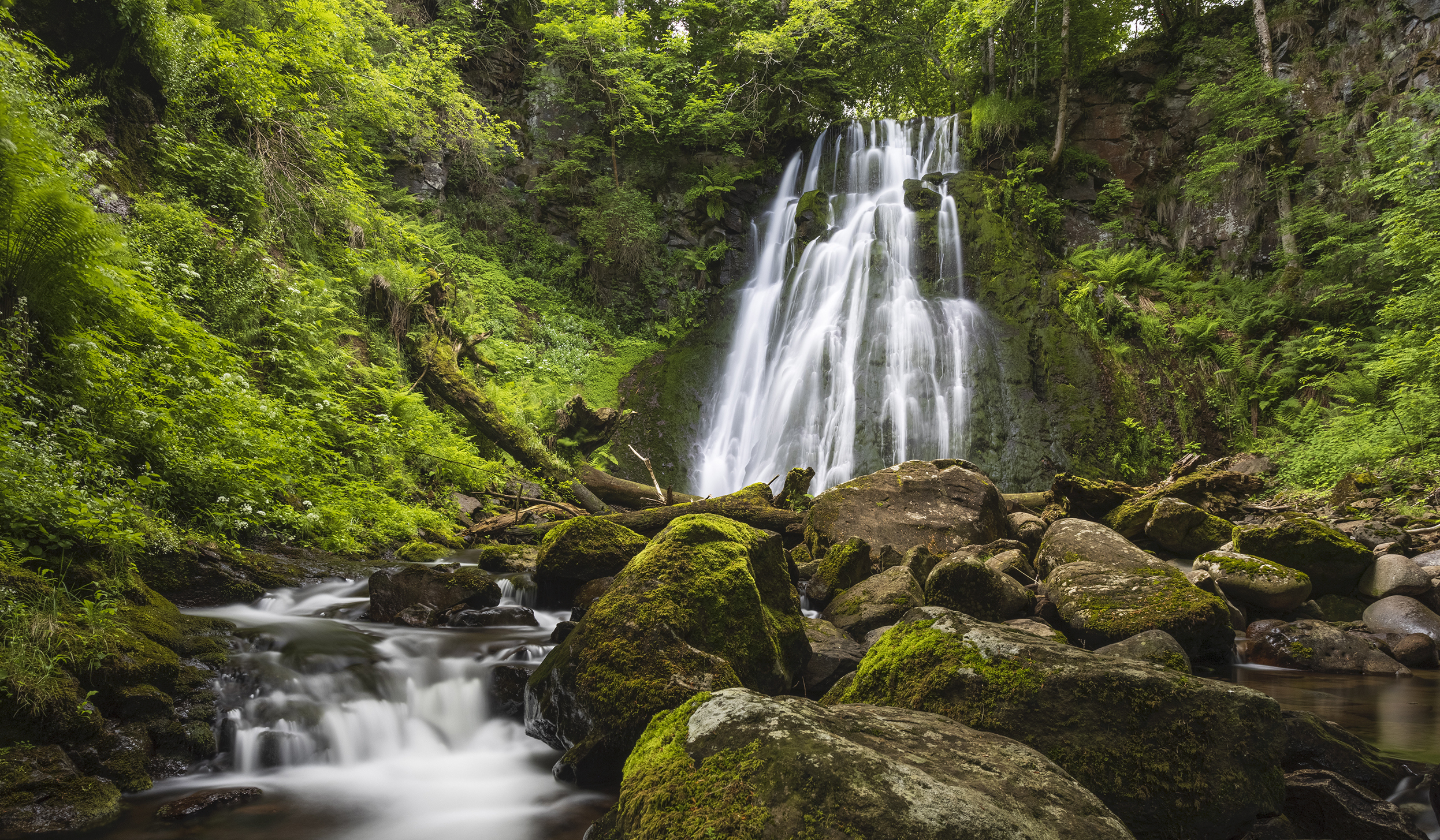
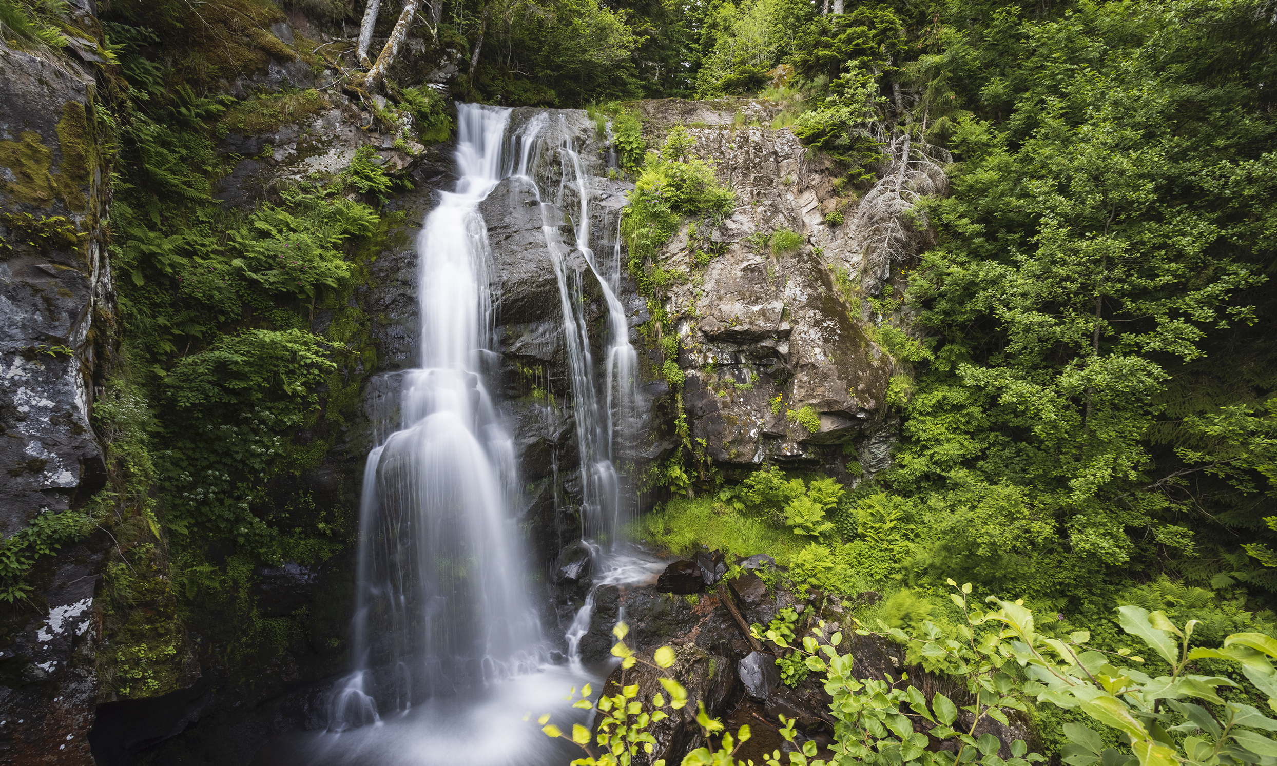
Departing from Prat-de-Bouc, this hike explores the charming Vergnes waterfall. The route takes place mainly in the forest and runs along the Lagnon on the first part.

Already more than 200,000 users!
Uphill
288m
Highest point
1391m
Downhill
288m
Lowest point
1124m
Route type
Loop
Download the map on your smartphone to save battery and rest assured to always keep access to the route, even without signal.
Includes IGN France and Swisstopo.
I indicate whether dogs are allowed or prohibited on this trail
Can be difficult in Winter
2 ratings
Also enjoy:

Already more than 200,000 users!