Uphill
323m
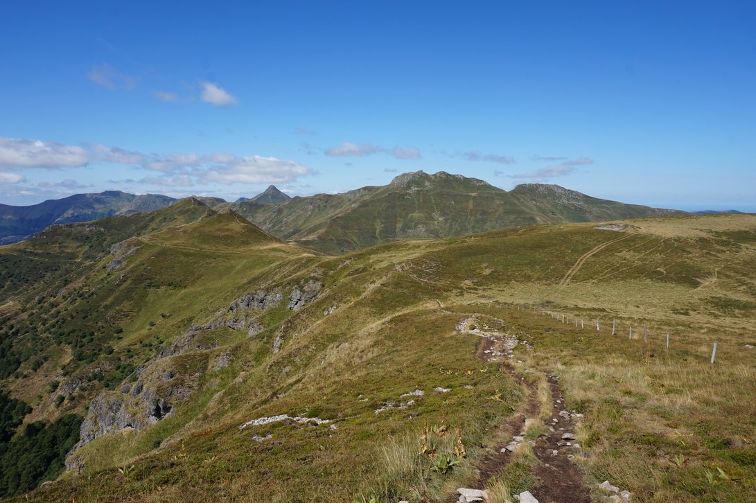
France > Auvergne-Rhône-Alpes > Cantal > Volcans d'Auvergne Regional Natural Park
Length
10km
Duration
3h
Elev gain
323m
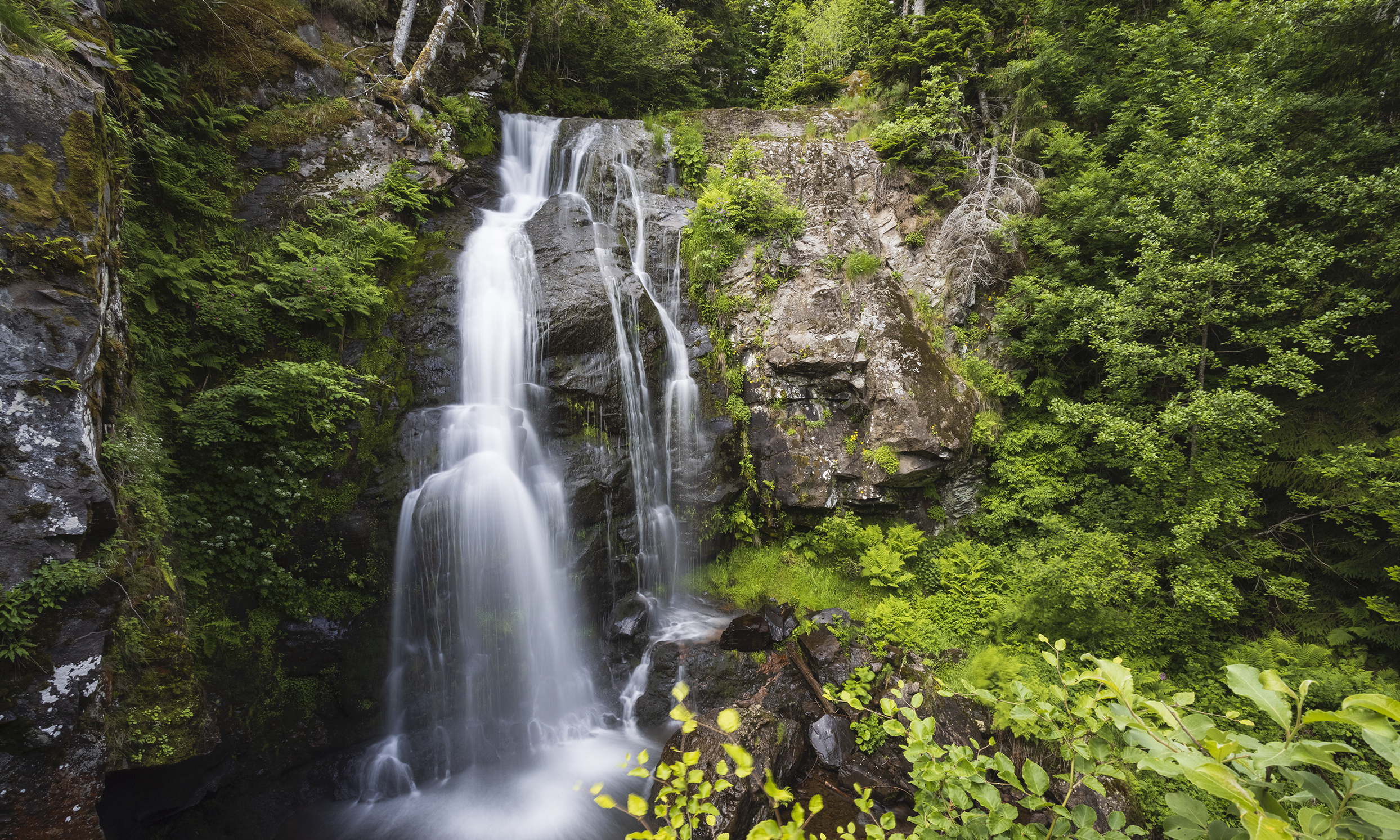
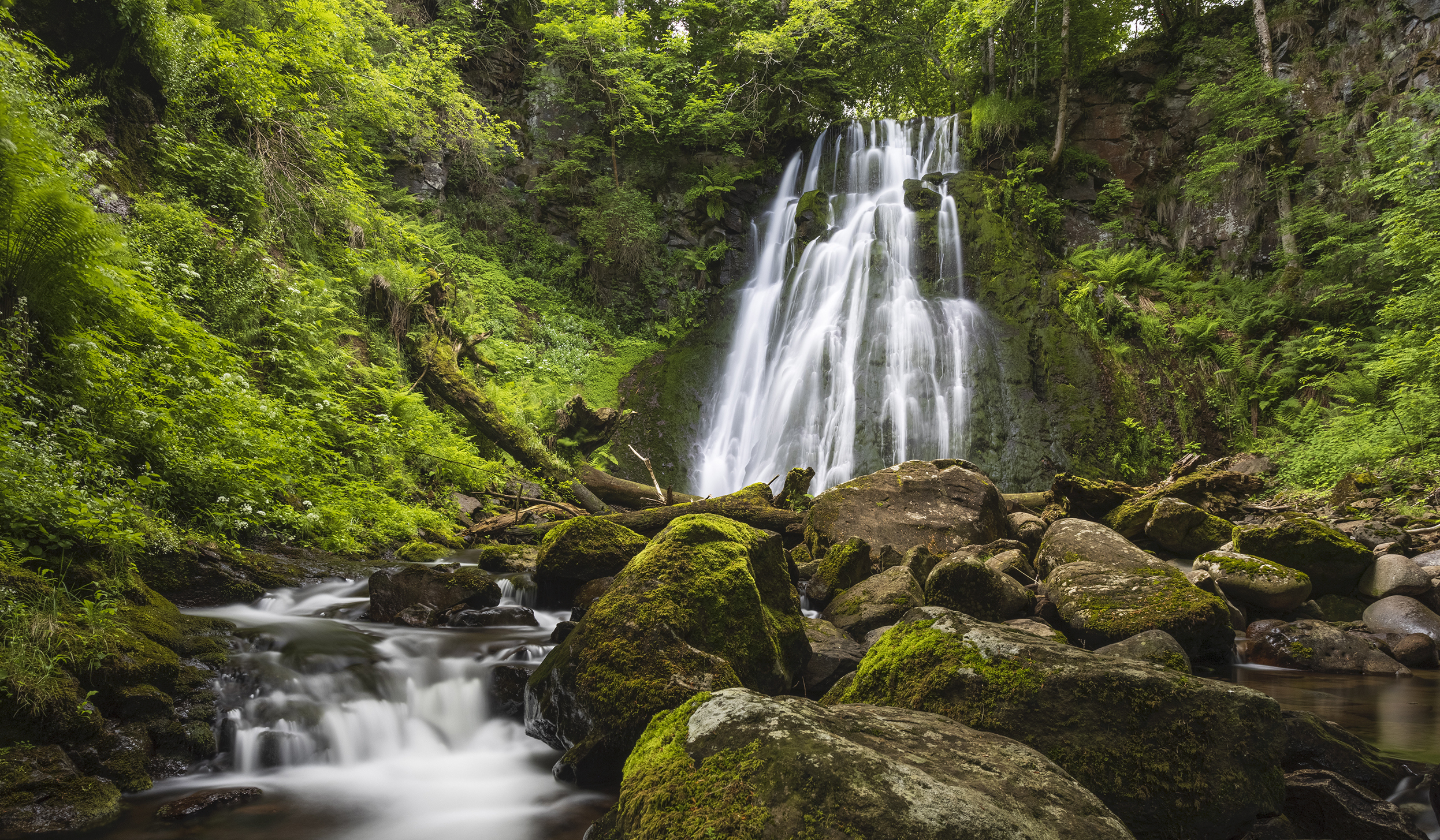
On a well-marked path, this hike sets out to discover the three waterfalls in the village of Albepierre-Bredons. The route makes a loop and passes by the Prés Longs then Vergnes waterfalls, before returning to the starting point and making a short detour by the very beautiful Prapsou waterfall.

Already more than 200,000 users!
Uphill
323m
Highest point
1339m
Downhill
323m
Lowest point
1034m
Route type
Loop
Download the map on your smartphone to save battery and rest assured to always keep access to the route, even without signal.
Includes IGN France and Swisstopo.
I indicate whether dogs are allowed or prohibited on this trail
Can be difficult in Winter
1 rating
Also enjoy:

Already more than 200,000 users!