Uphill
117m
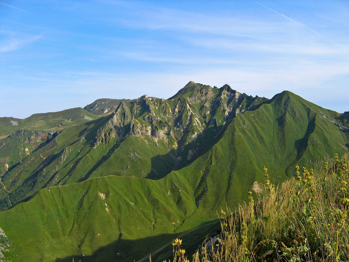
France > Auvergne-Rhône-Alpes > Puy-de-Dôme > Volcans d'Auvergne Regional Natural Park
Length
3km
Duration
1h
Elev gain
117m
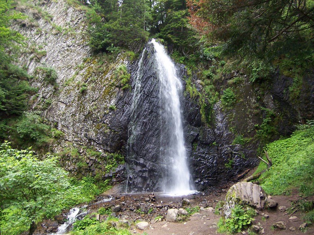
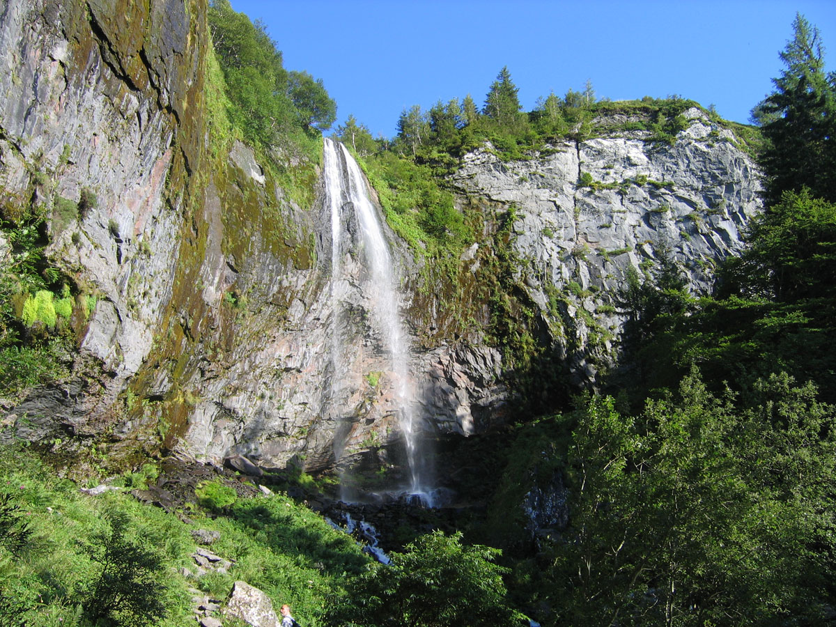
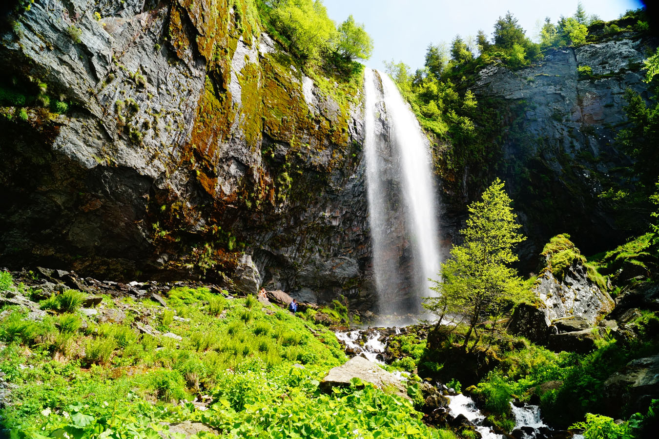
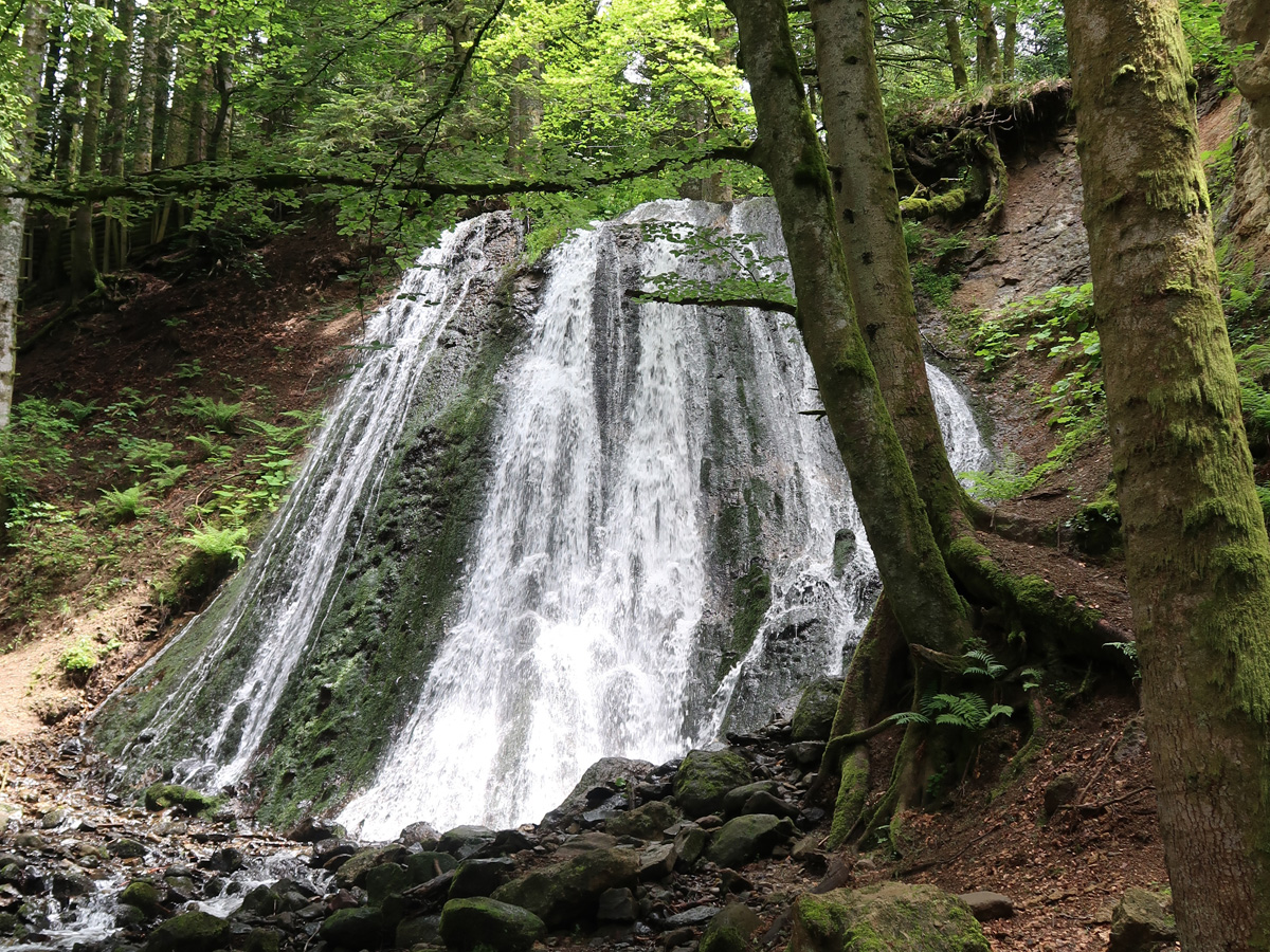
Short pleasant walk on a path with wooden bridges and stairs, in the heart of a beech grove. The highlight of the show comes from the two waterfalls of Queureuilh and Rossignolet, about ten meters high.

Already more than 200,000 users!
Uphill
117m
Highest point
1088m
Downhill
117m
Lowest point
1020m
Route type
There and back
Download the map on your smartphone to save battery and rest assured to always keep access to the route, even without signal.
Includes IGN France and Swisstopo.
I indicate whether dogs are allowed or prohibited on this trail
Can be difficult in Winter
5 ratings
Also enjoy:

Already more than 200,000 users!