Uphill
404m
France > Auvergne-Rhône-Alpes > Puy-de-Dôme > Volcans d'Auvergne Regional Natural Park
Length
8km
Duration
3h
Elev gain
404m
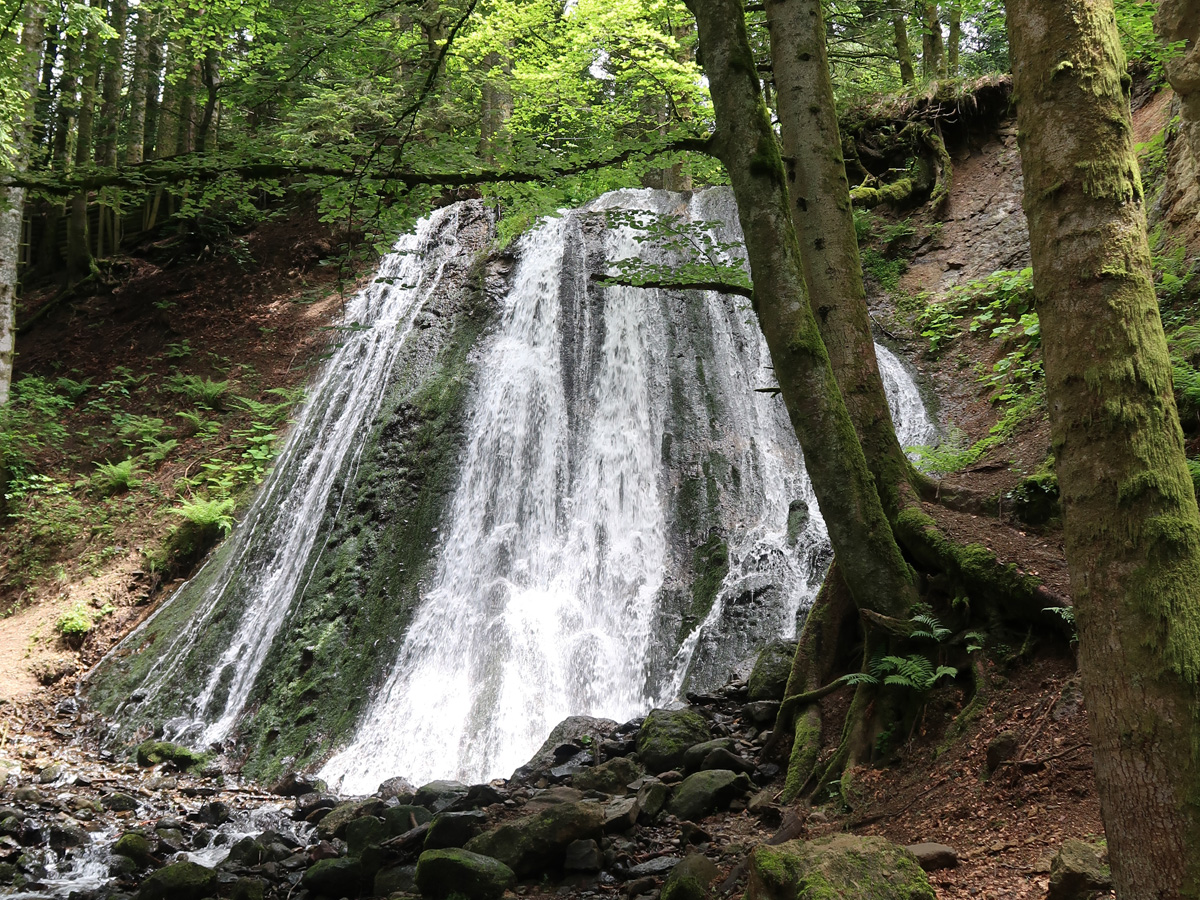
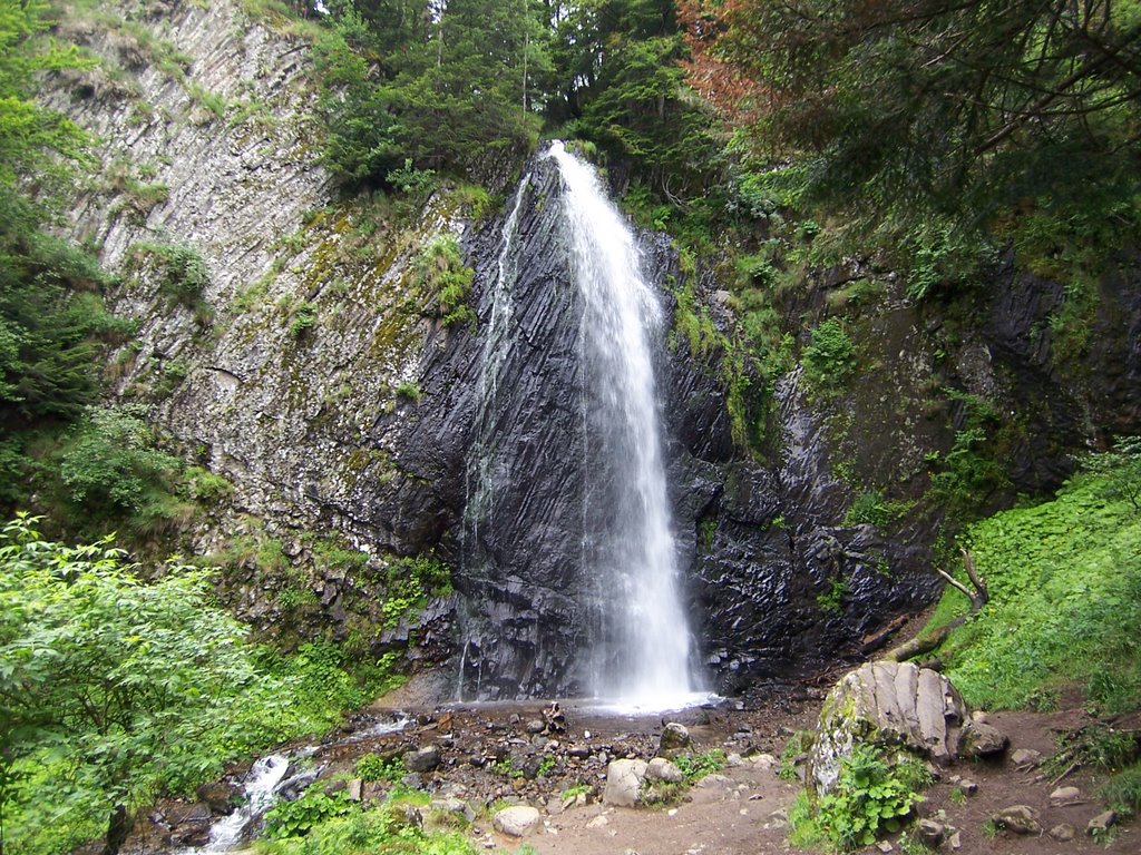
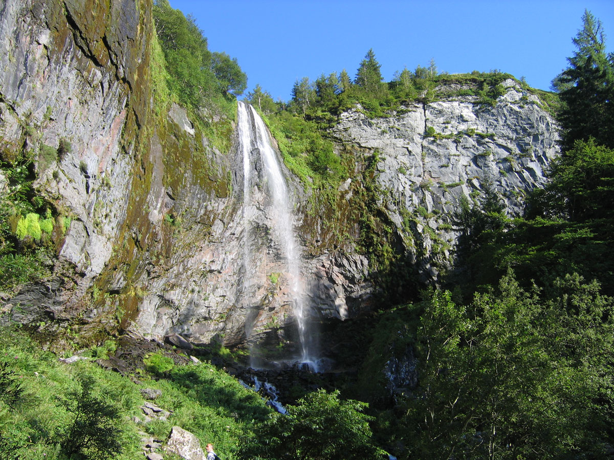
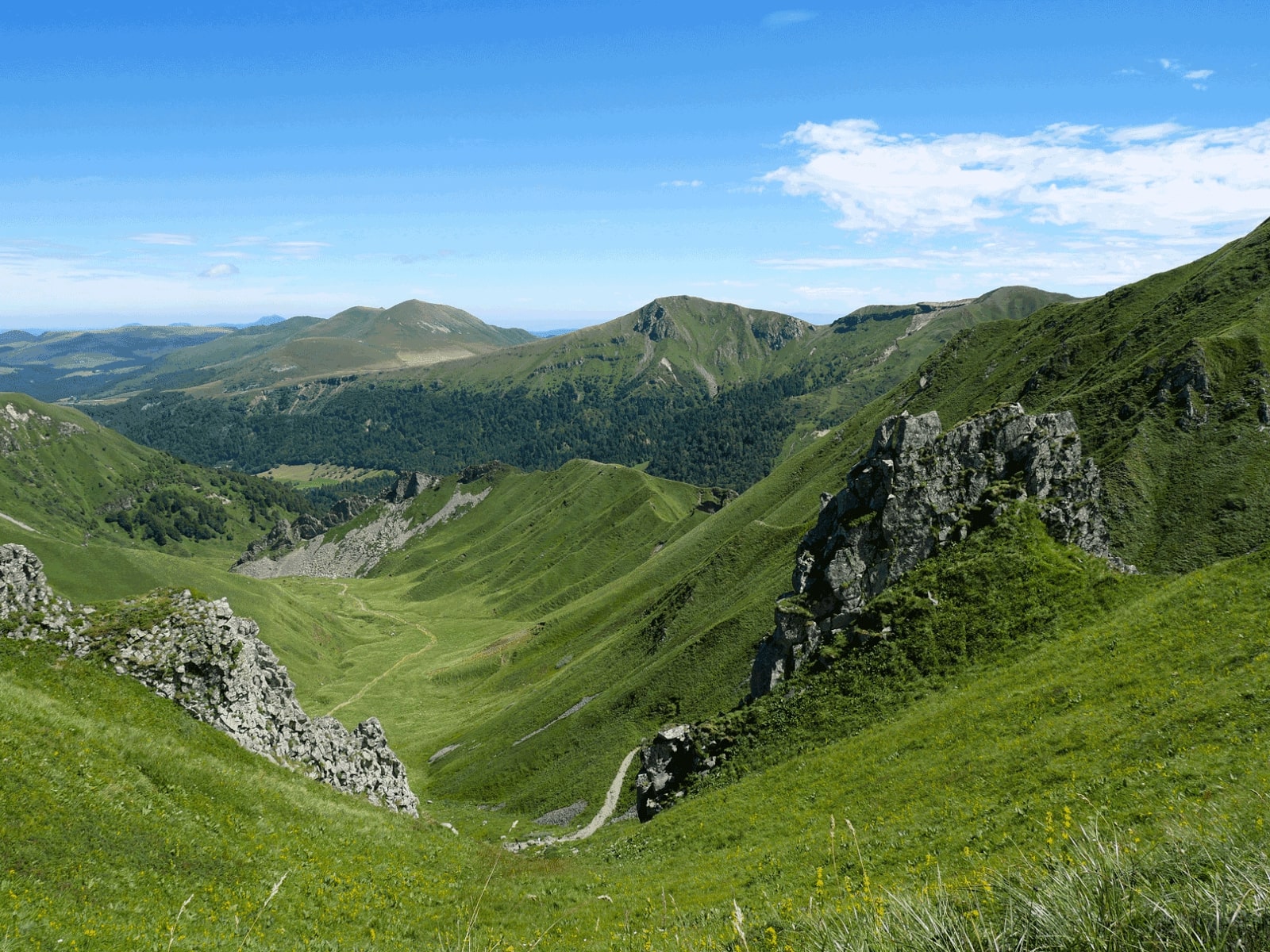
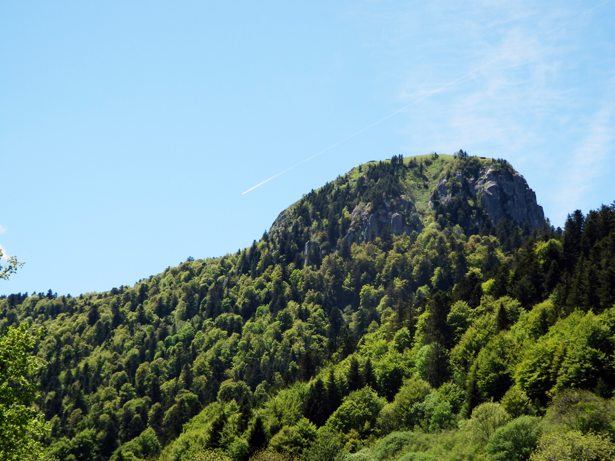
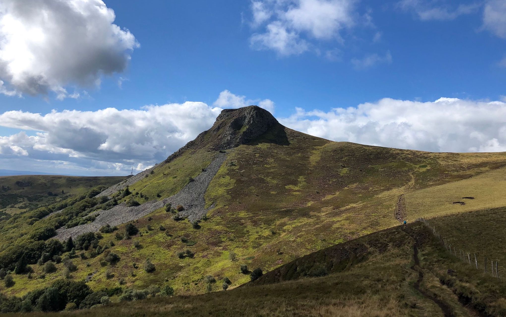
Beautiful hike around Chantauzet, a volcano in the Puys range which rises to 1,385 meters above sea level. The path makes a loop and offers pretty points of view. Note that some passages are steep.

Already more than 200,000 users!
Uphill
404m
Highest point
1372m
Downhill
404m
Lowest point
966m
Route type
Loop
Download the map on your smartphone to save battery and rest assured to always keep access to the route, even without signal.
Includes IGN France and Swisstopo.
I indicate whether dogs are allowed or prohibited on this trail
Can be difficult in Winter
1 rating
Also enjoy:

Already more than 200,000 users!