Uphill
595m
France > Auvergne-Rhône-Alpes > Puy-de-Dôme > Volcans d'Auvergne Regional Natural Park
Length
11km
Duration
4h30min
Elev gain
595m
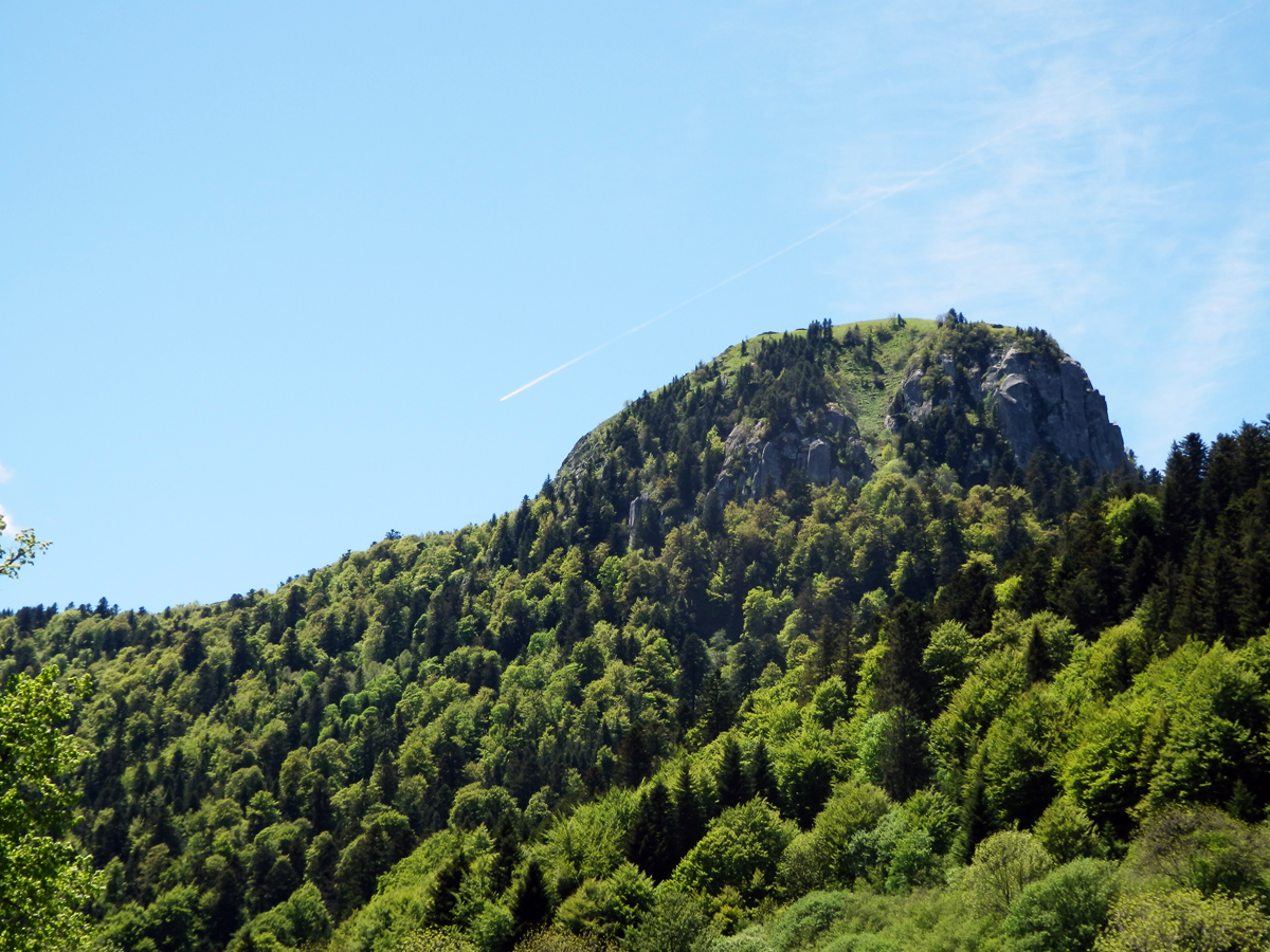
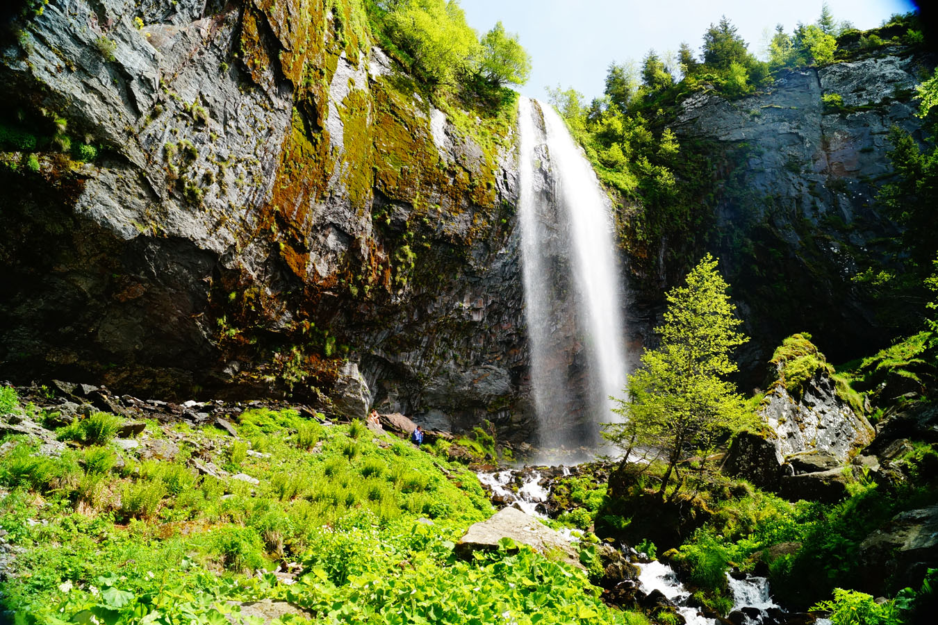
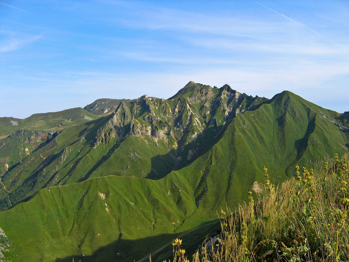
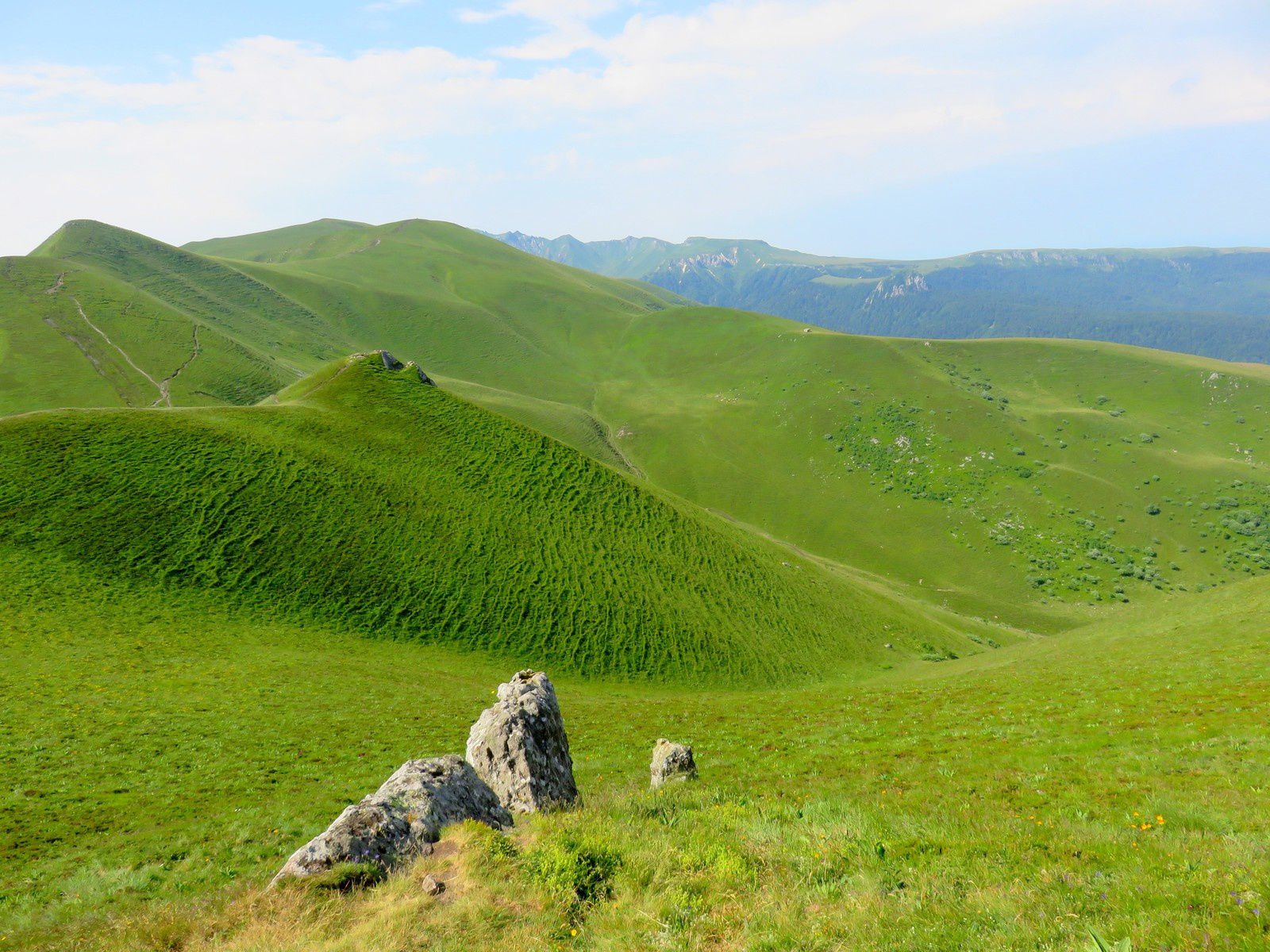
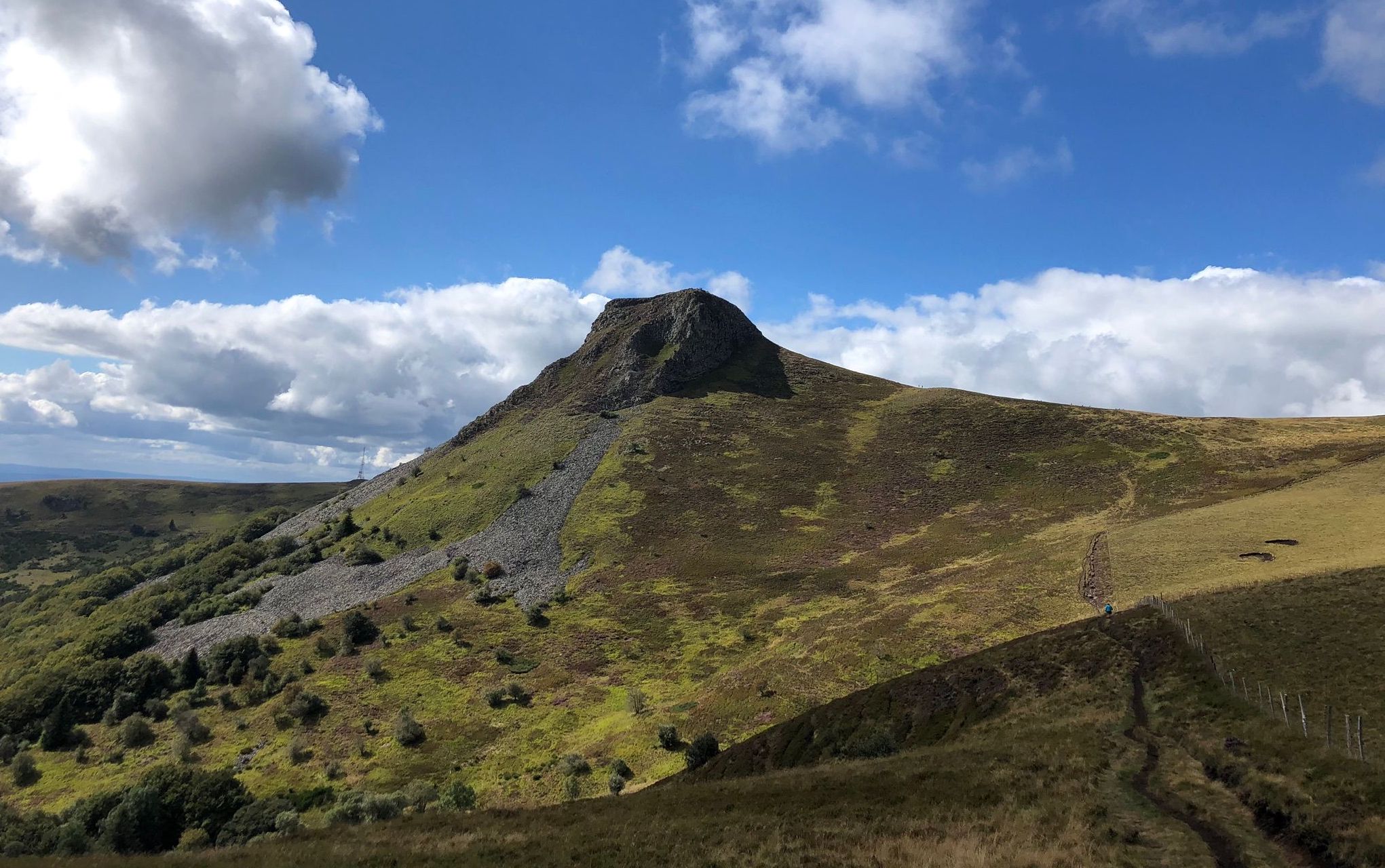
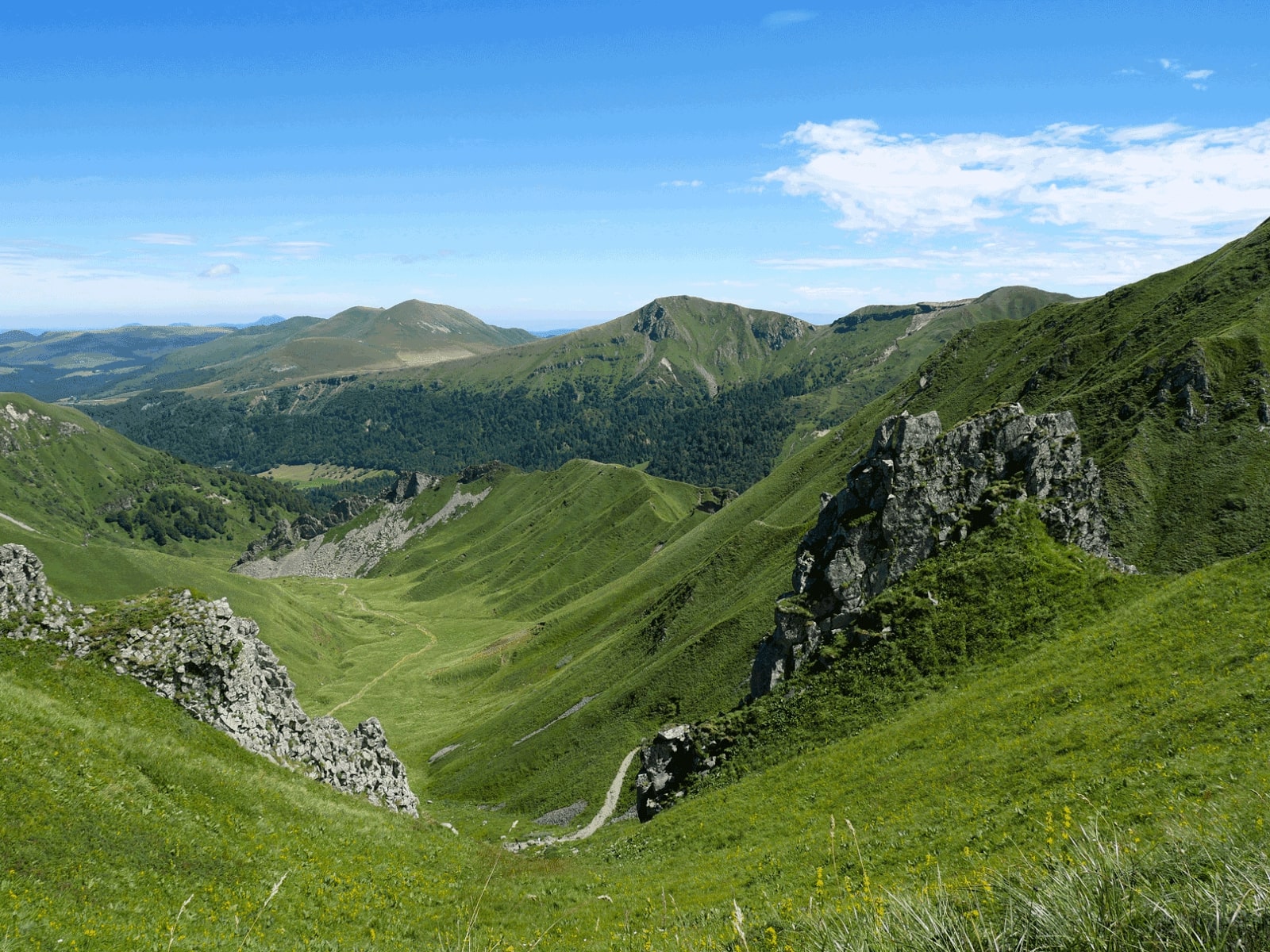
Here is a pretty hike on the crests of Sancy. On the outward journey, the path passes very close to the Pic du Capucin before arriving at the Puy de Cliergue (1,691m). It then climbs to the Tour Carrée before descending to the starting point. The landscapes are beautiful.

Already more than 200,000 users!
Uphill
595m
Highest point
1723m
Downhill
595m
Lowest point
1205m
Route type
Loop
Download the map on your smartphone to save battery and rest assured to always keep access to the route, even without signal.
Includes IGN France and Swisstopo.
Authorised on a leash
From May to October
6 ratings
Magnifique randonnée, possibilité de croiser des marmottes et chamois, belle vue des environs sur les hauteurs
Also enjoy:

Already more than 200,000 users!