Uphill
247m
Length
7km
Duration
2h30min
Elev gain
247m
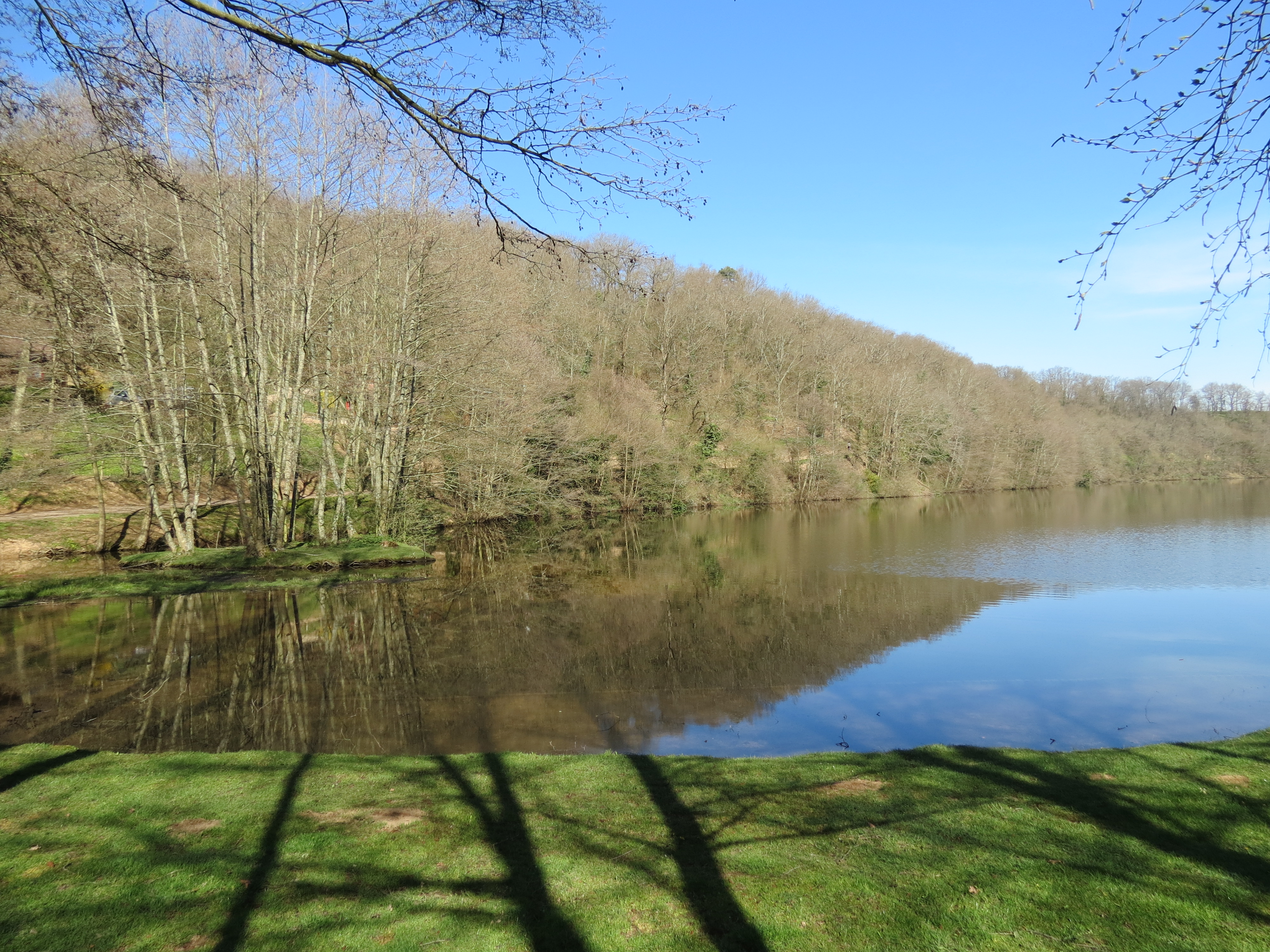
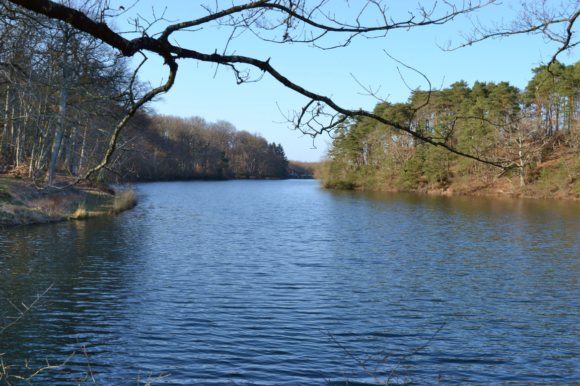
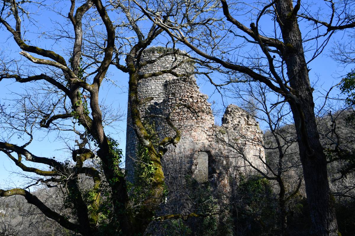
Here is a beautiful hike along the Cher and passing by the pretty Château de l'Ours. On the program: superb landscapes, castle, mill and Cher gorges.

Already more than 200,000 users!
Uphill
247m
Highest point
327m
Downhill
247m
Lowest point
208m
Route type
There and back
Download the map on your smartphone to save battery and rest assured to always keep access to the route, even without signal.
Includes IGN France and Swisstopo.
I indicate whether dogs are allowed or prohibited on this trail
All year
0 ratings
Also enjoy:

Already more than 200,000 users!