Uphill
247m
Length
13km
Duration
4h
Elev gain
247m
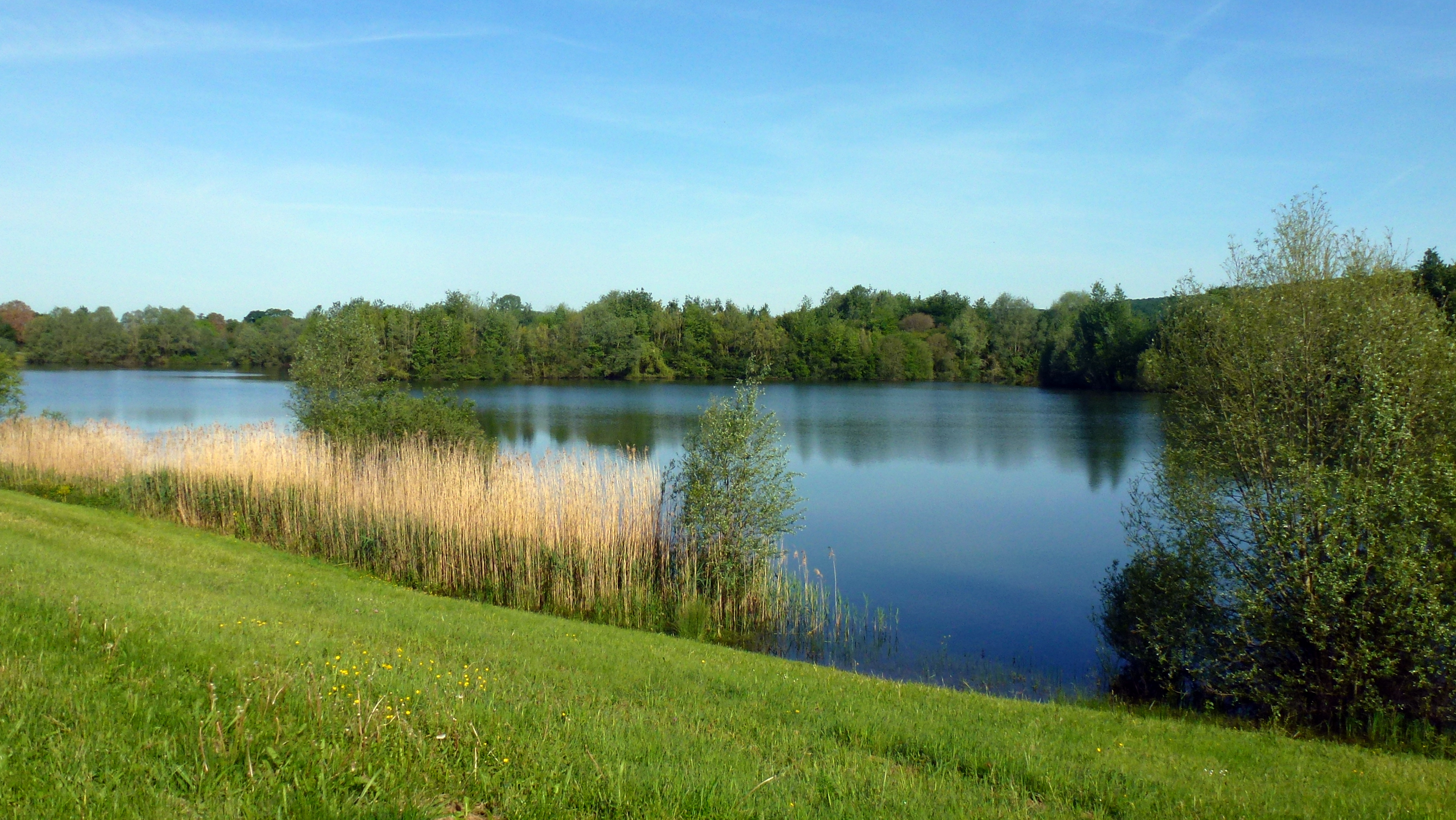
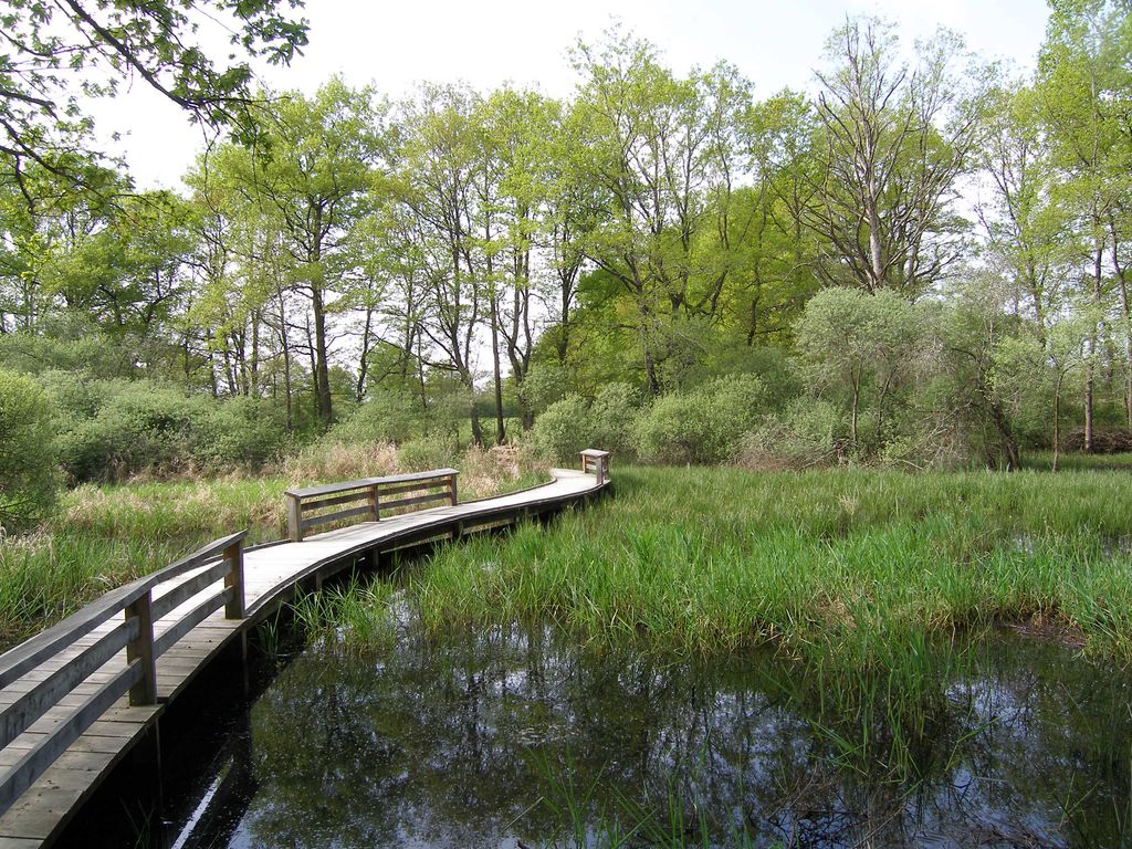
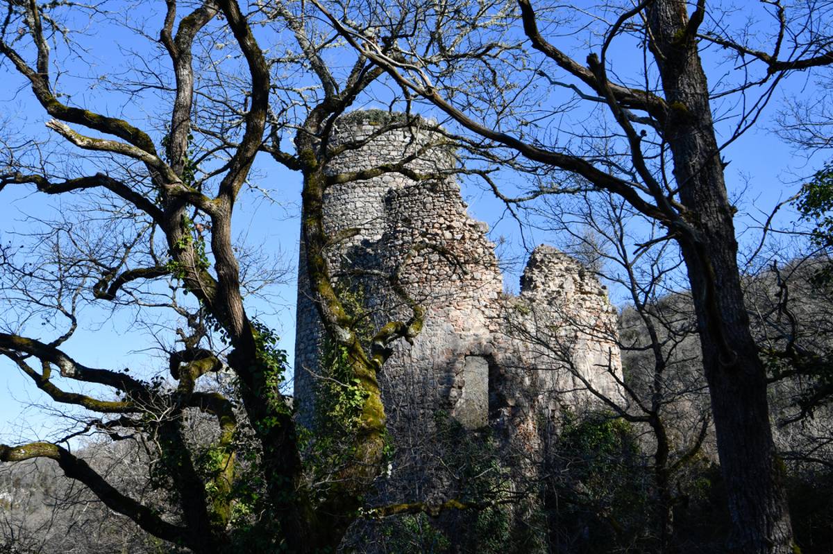
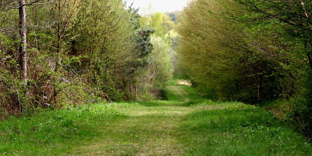
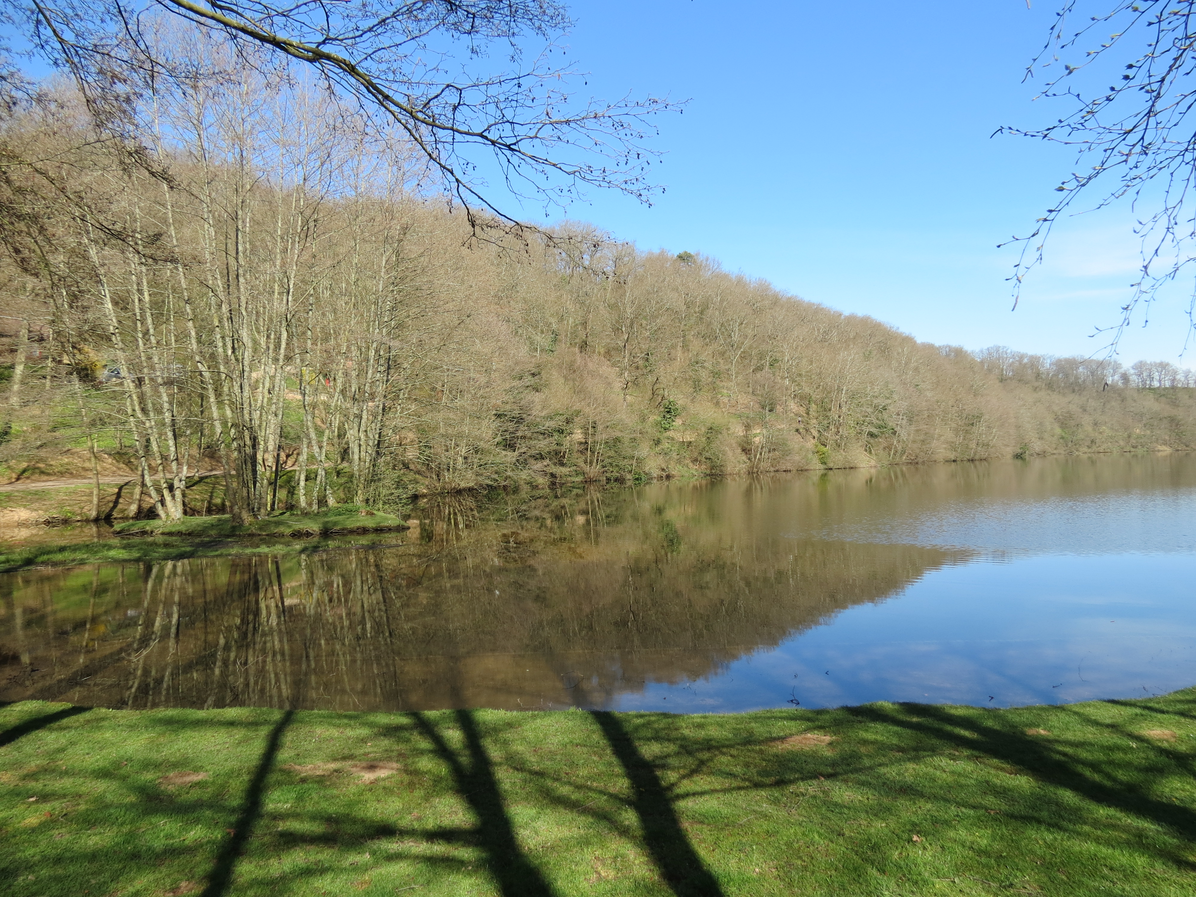
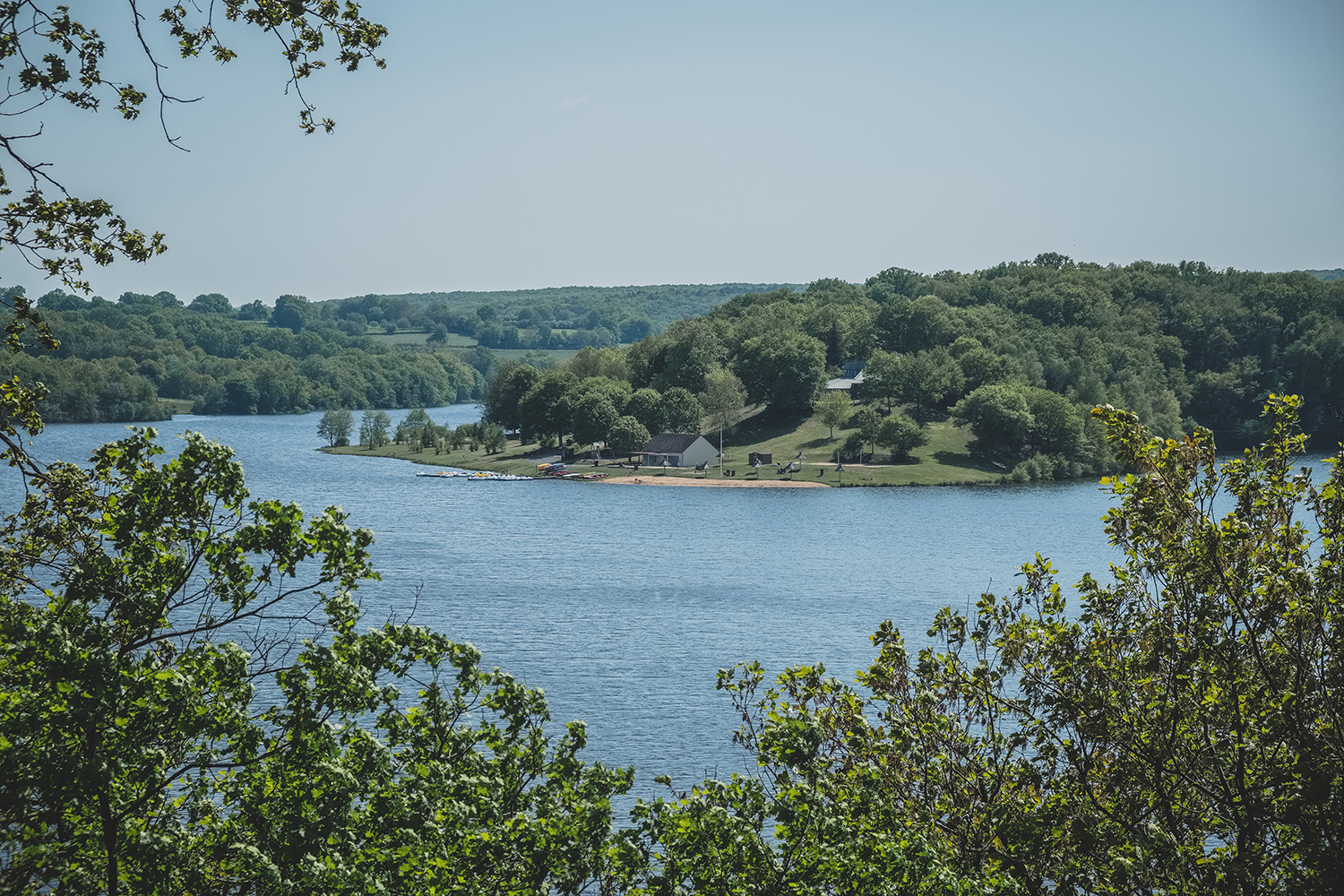
Departing from the parking lot of the nautical base, this hike goes around the charming lake of Sidiaillles. The route runs along the body of water and passes in front of the ruins of the Château de la Roche de Guillebaud.

Already more than 200,000 users!
Uphill
247m
Highest point
314m
Downhill
247m
Lowest point
251m
Route type
Loop
Download the map on your smartphone to save battery and rest assured to always keep access to the route, even without signal.
Includes IGN France and Swisstopo.
I indicate whether dogs are allowed or prohibited on this trail
All year
0 ratings
Also enjoy:

Already more than 200,000 users!