Uphill
61m
Length
2km
Duration
30min
Elev gain
61m
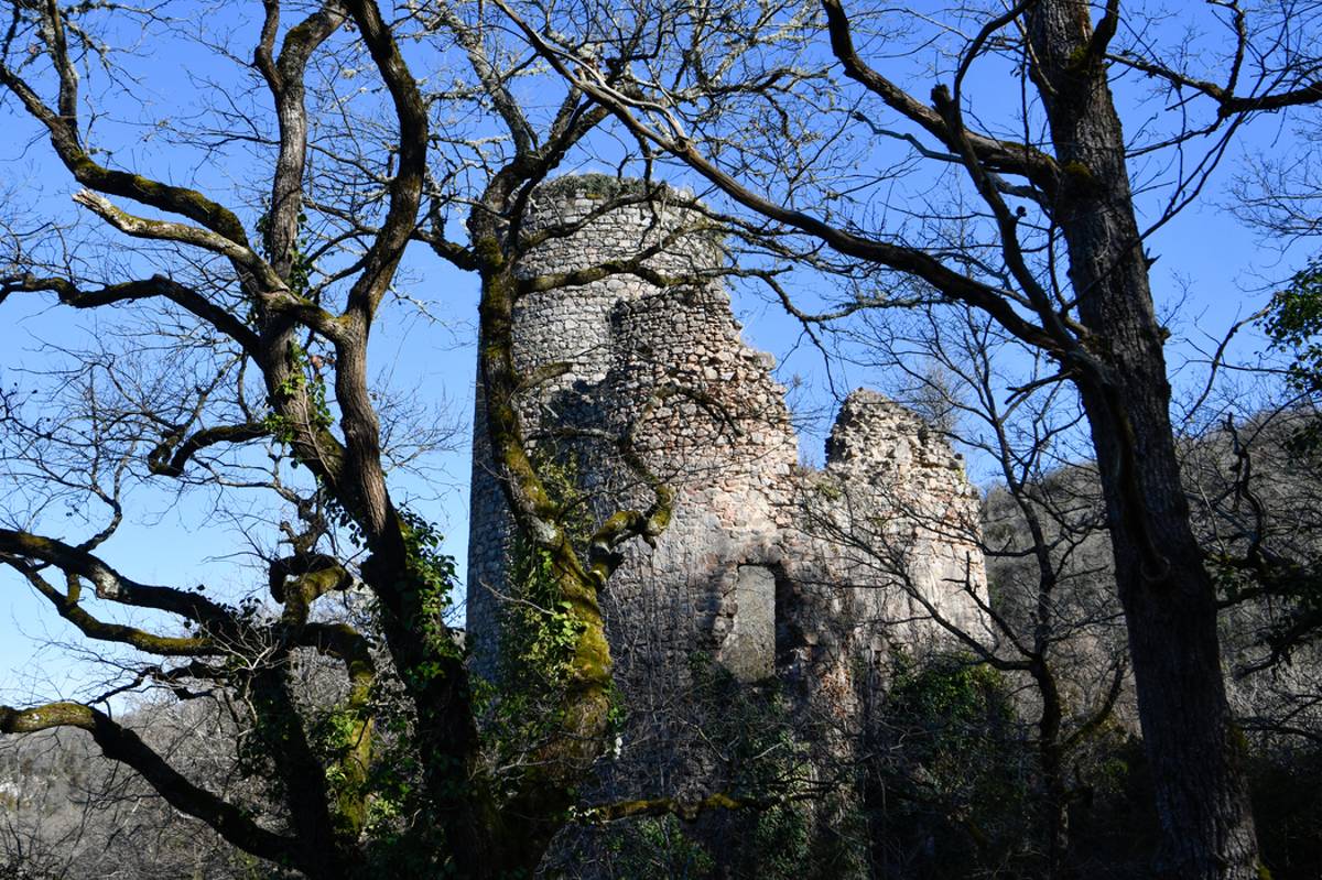
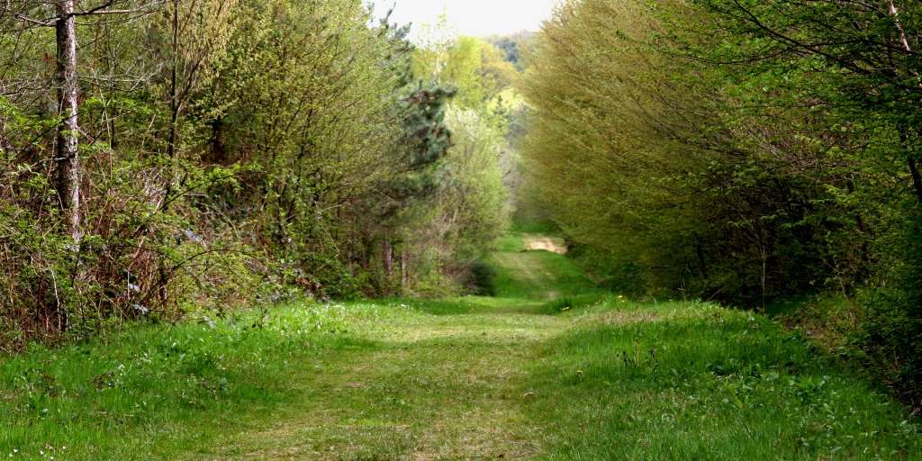
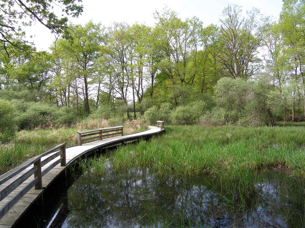
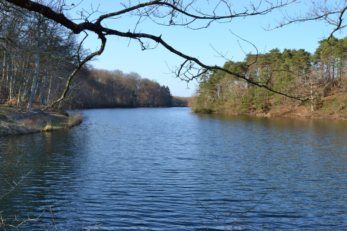
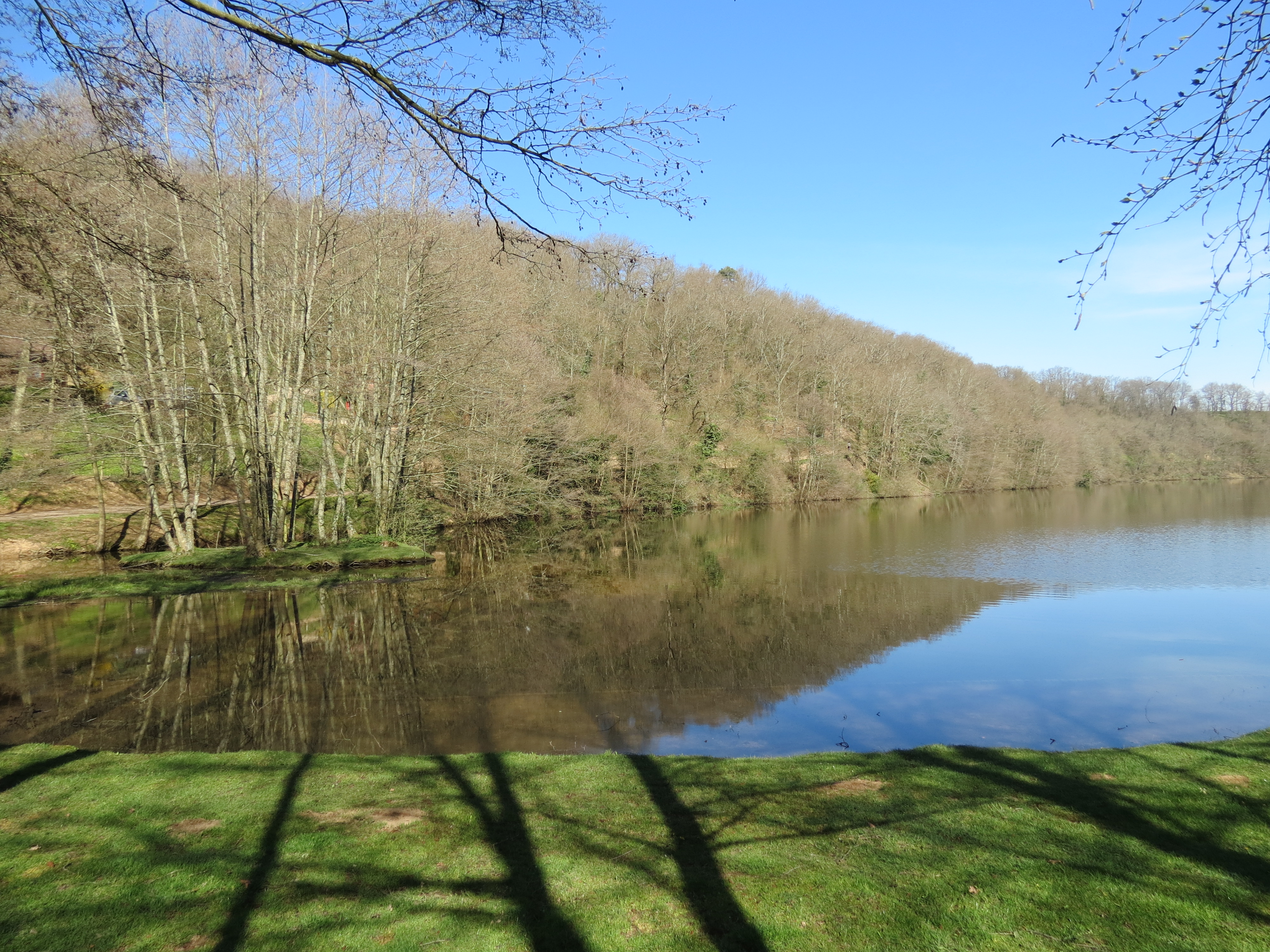
It is on the side of Néris-les-Bains that this little walk takes place. The course, decorated with picnic tables and games for children, goes around the pond of Cournauron.

Already more than 200,000 users!
Uphill
61m
Highest point
339m
Downhill
61m
Lowest point
293m
Route type
Loop
Download the map on your smartphone to save battery and rest assured to always keep access to the route, even without signal.
Includes IGN France and Swisstopo.
I indicate whether dogs are allowed or prohibited on this trail
All year
0 ratings
Also enjoy:

Already more than 200,000 users!