Uphill
48m

Length
5km
Duration
1h30min
Elev gain
48m
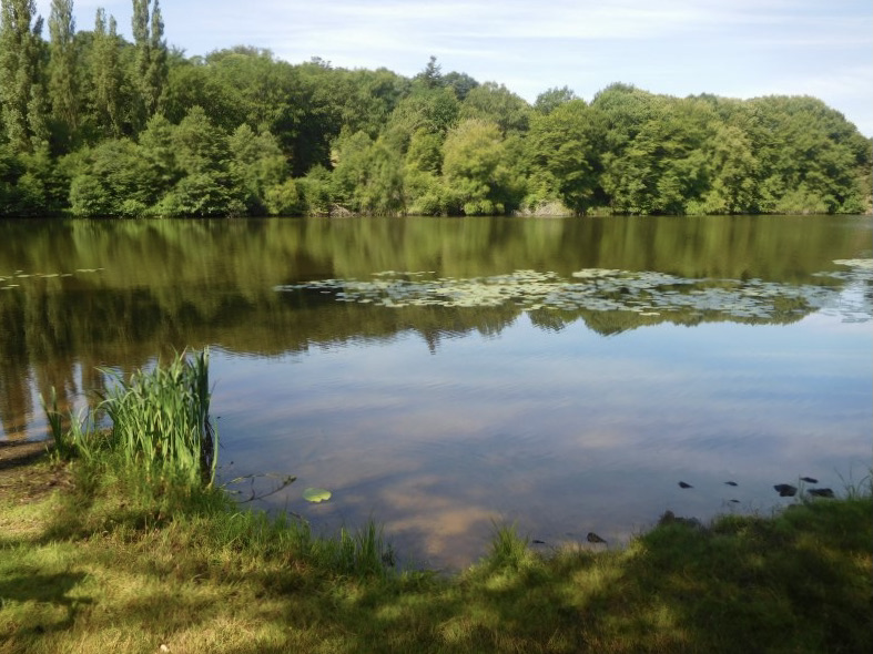
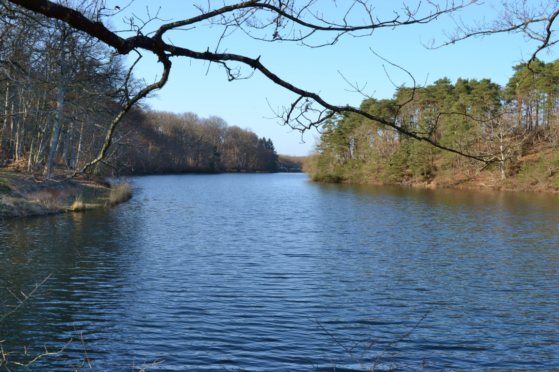
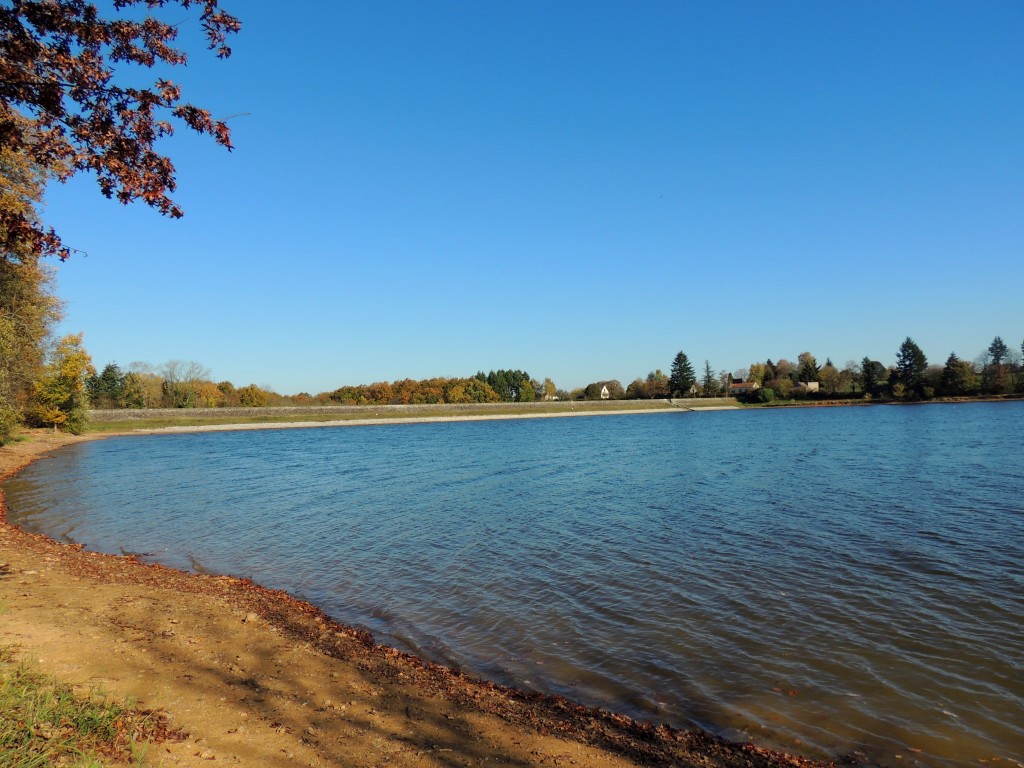
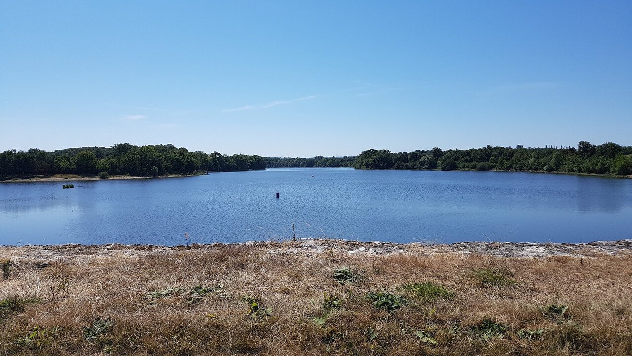
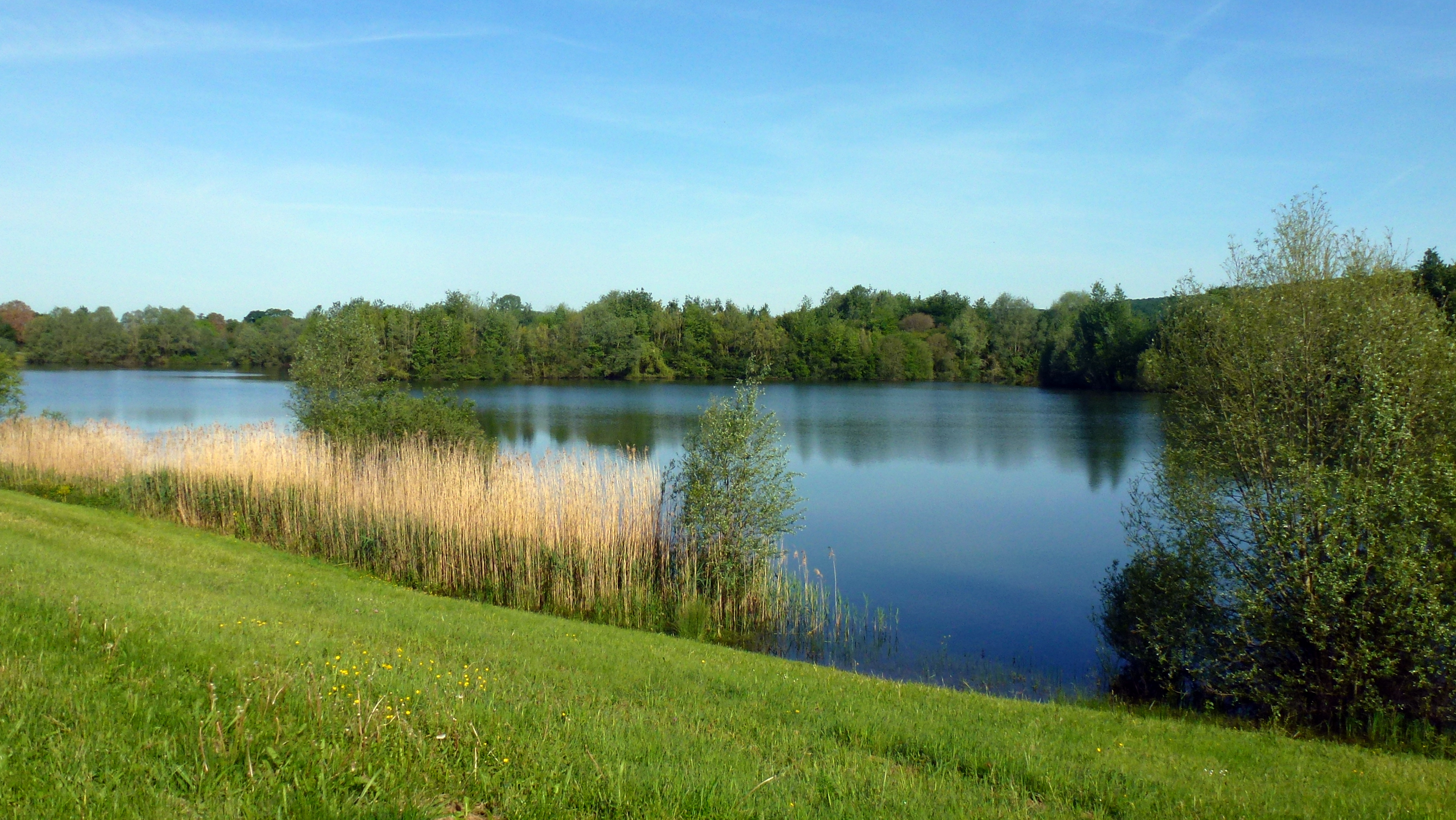
Walk on a marked path around the Saint Bonnet-Tronçais pond, in the heart of the Tronçais Forest, known for its hundred-year-old oaks.

Already more than 200,000 users!
Uphill
48m
Highest point
246m
Downhill
48m
Lowest point
213m
Route type
Loop
Download the map on your smartphone to save battery and rest assured to always keep access to the route, even without signal.
Includes IGN France and Swisstopo.
I indicate whether dogs are allowed or prohibited on this trail
All year
0 ratings
Also enjoy:

Already more than 200,000 users!