Uphill
34m
Length
6km
Duration
1h30min
Elev gain
34m
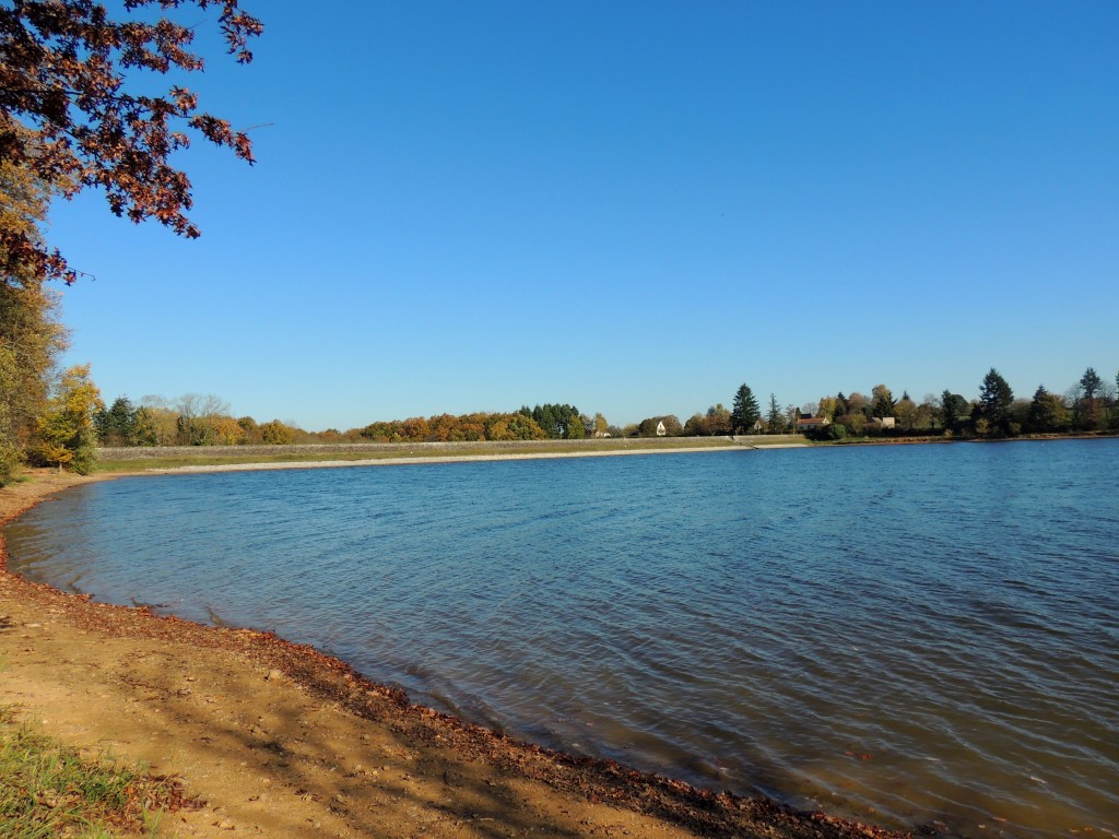
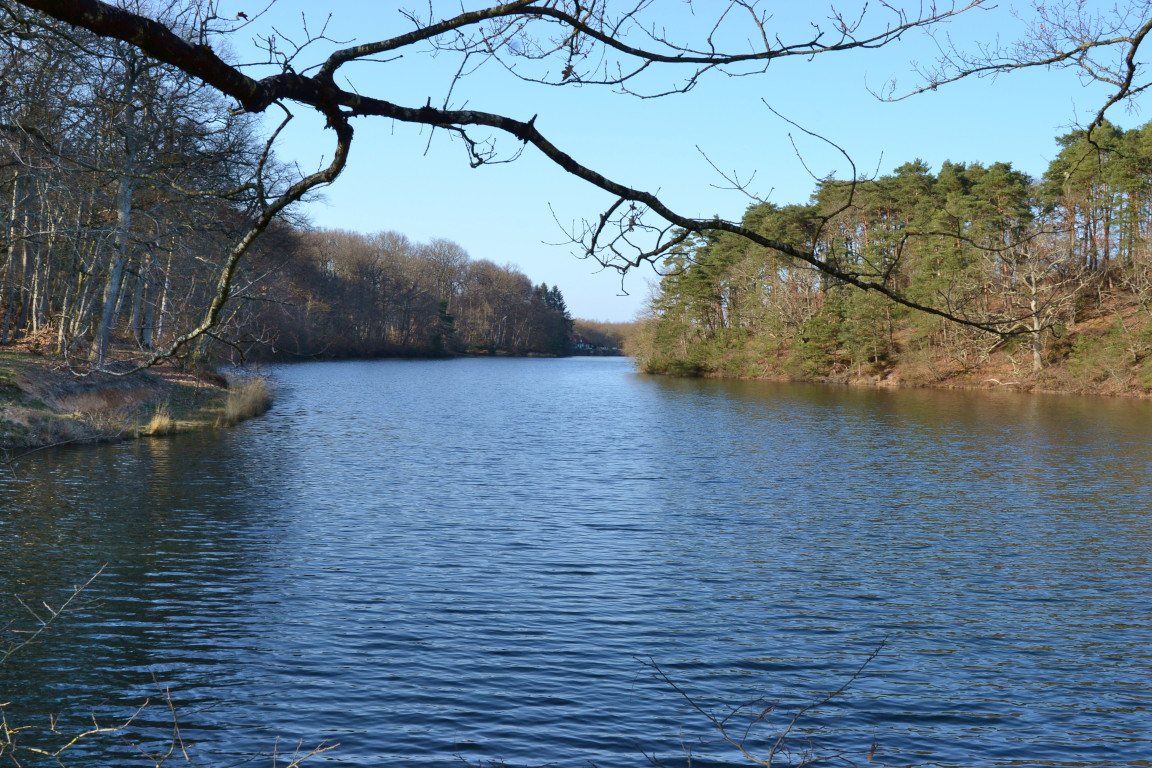
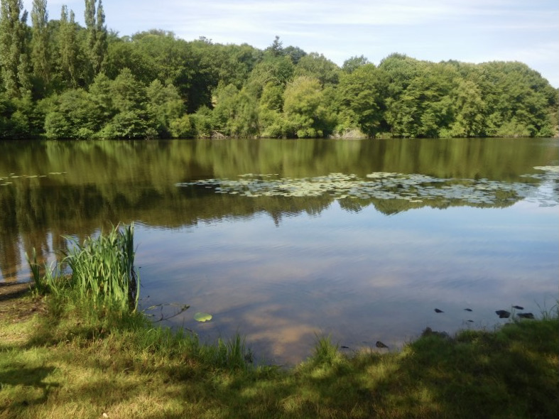
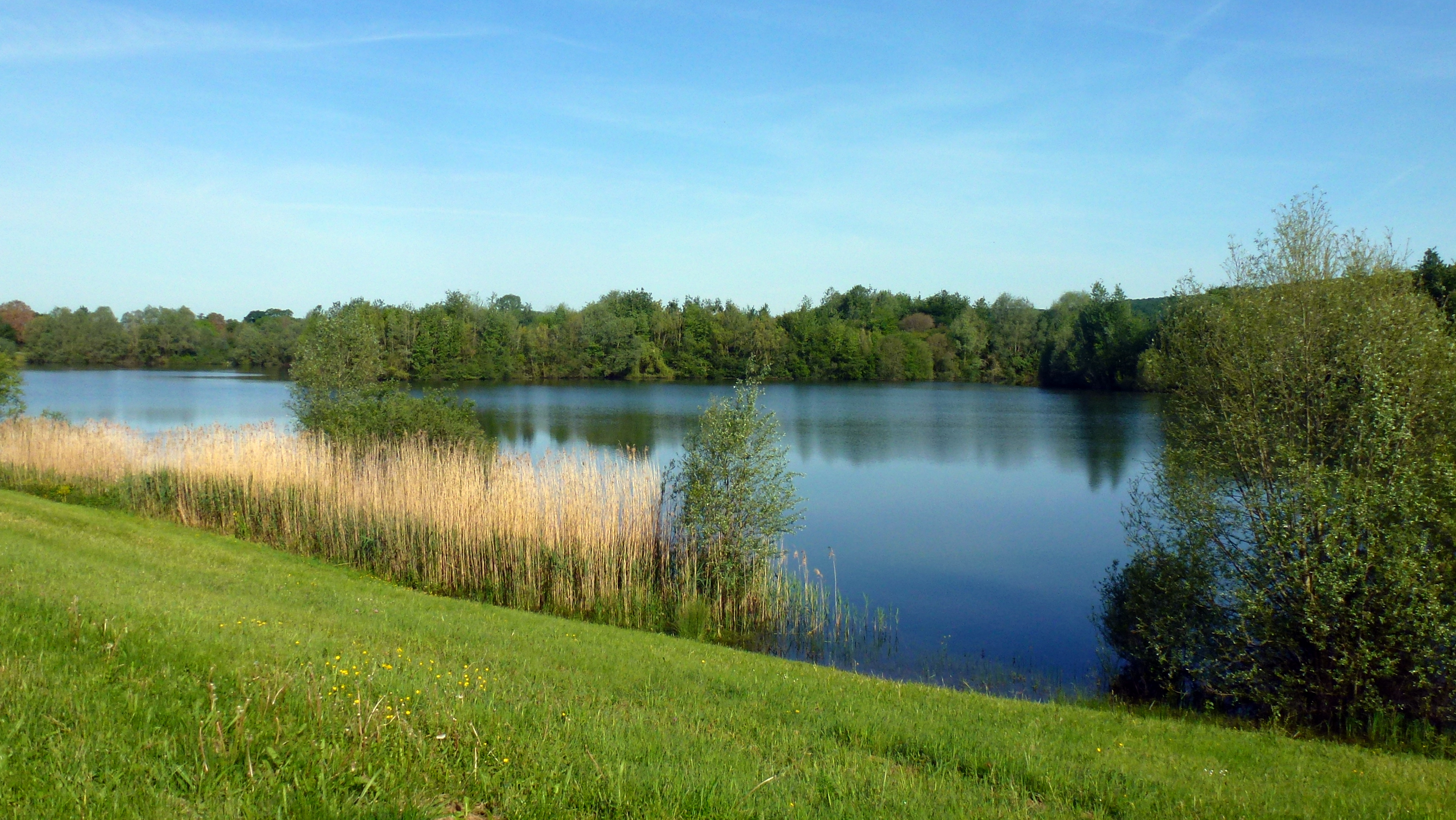
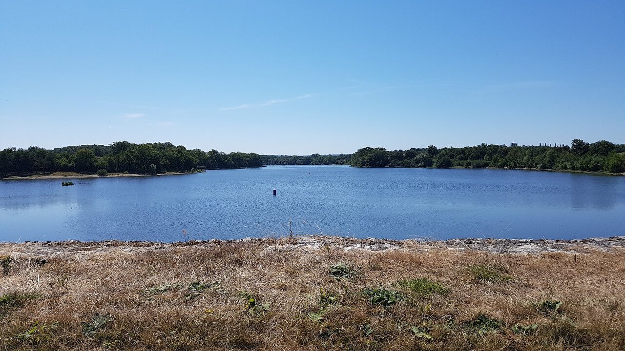
This course goes around the pond of Goule between fields and undergrowth. A leisure center and a beach are near the starting point.

Already more than 200,000 users!
Uphill
34m
Highest point
217m
Downhill
34m
Lowest point
189m
Route type
Loop
Download the map on your smartphone to save battery and rest assured to always keep access to the route, even without signal.
Includes IGN France and Swisstopo.
I indicate whether dogs are allowed or prohibited on this trail
All year
0 ratings
Also enjoy:

Already more than 200,000 users!