Uphill
33m
Length
4km
Duration
1h
Elev gain
33m
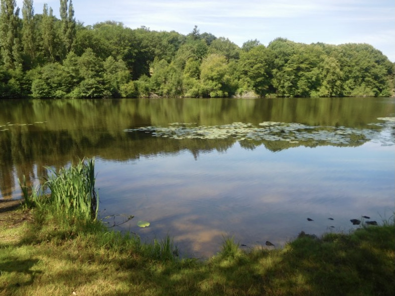
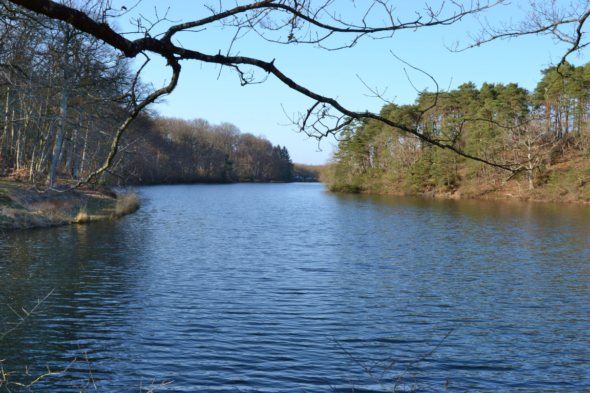
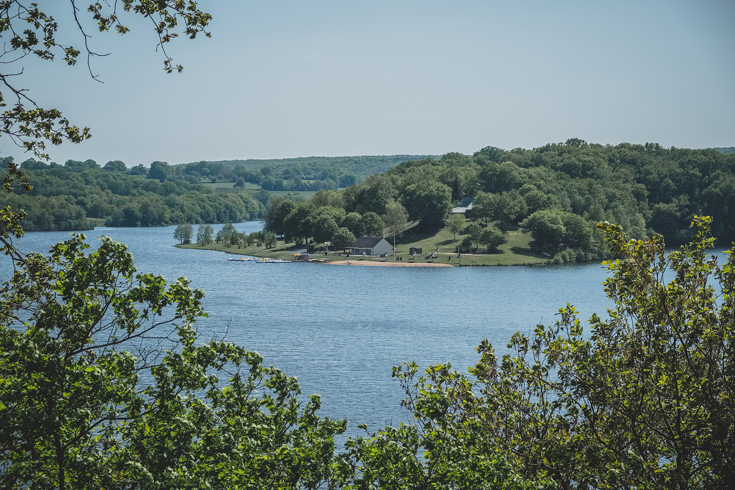
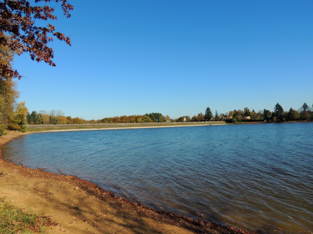
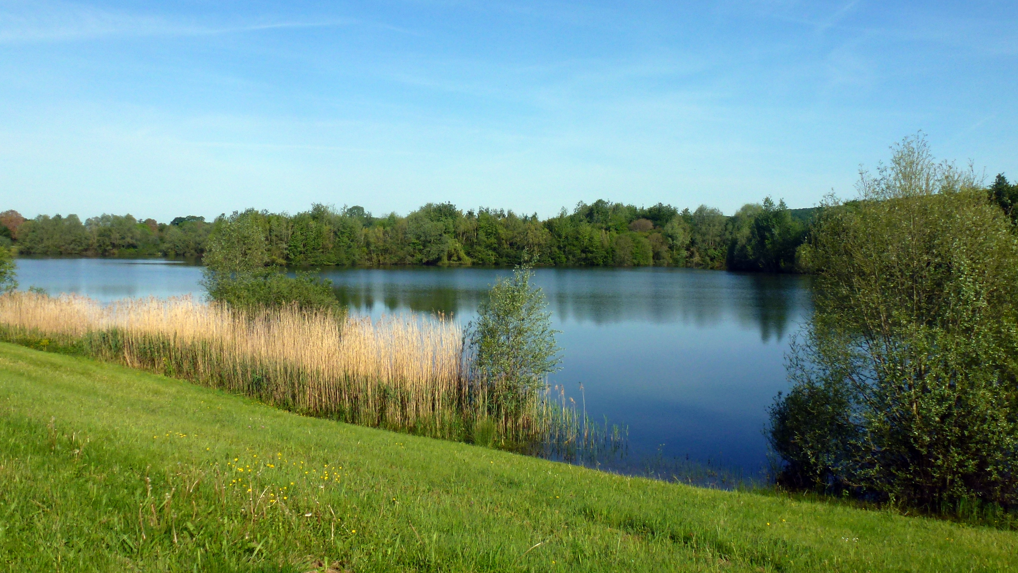
Pleasant walk around Lake Virlay. The path runs along the body of water and offers beautiful views of it as well as of the Cher passing nearby.

Already more than 200,000 users!
Uphill
33m
Highest point
162m
Downhill
33m
Lowest point
133m
Route type
Loop
Download the map on your smartphone to save battery and rest assured to always keep access to the route, even without signal.
Includes IGN France and Swisstopo.
I indicate whether dogs are allowed or prohibited on this trail
All year
0 ratings
Also enjoy:

Already more than 200,000 users!