Uphill
187m
Length
7km
Duration
2h30min
Elev gain
187m
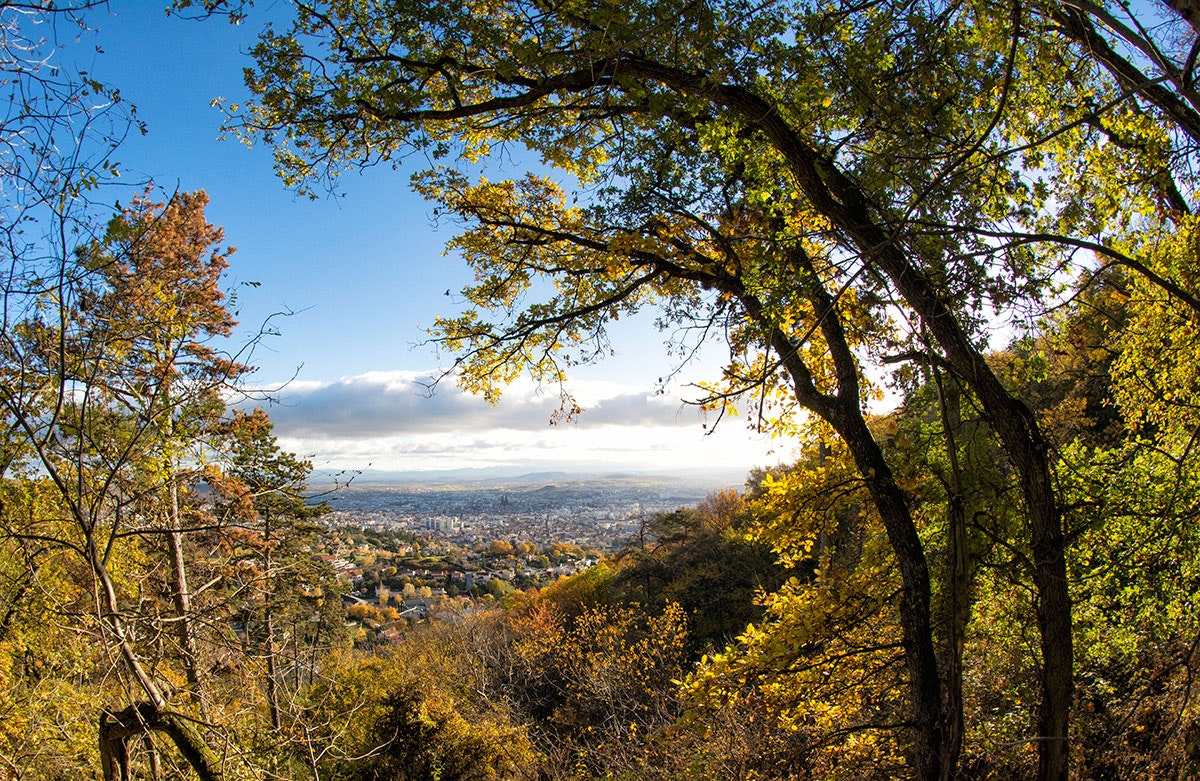
Departing from Royat, this trail follows the Chemin des Crêtes and winds its way between forests and meadows.
Nice views over Clermont-Ferrand and the Puy de Dôme.

Already more than 200,000 users!
Uphill
187m
Highest point
728m
Downhill
187m
Lowest point
534m
Route type
Loop
Download the map on your smartphone to save battery and rest assured to always keep access to the route, even without signal.
Includes IGN France and Swisstopo.
I indicate whether dogs are allowed or prohibited on this trail
All year
2 ratings
Also enjoy:

Already more than 200,000 users!


