Uphill
179m
France > Auvergne-Rhône-Alpes > Puy-de-Dôme > Volcans d'Auvergne Regional Natural Park
Length
6km
Duration
2h
Elev gain
179m
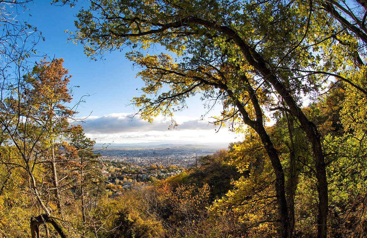
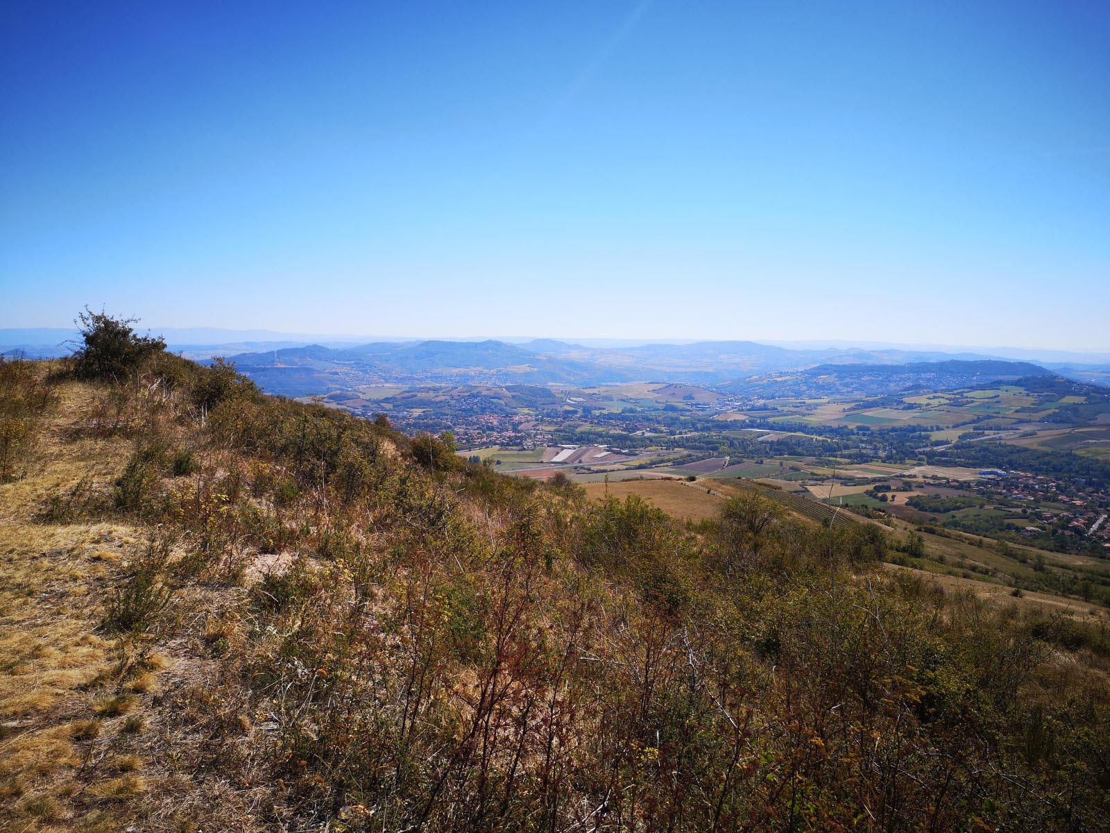
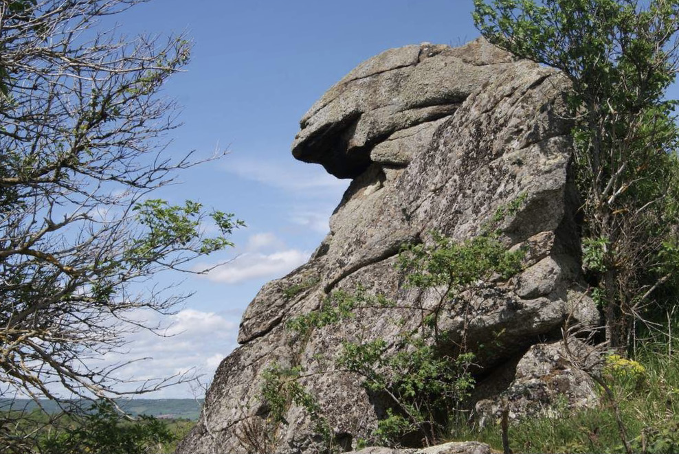
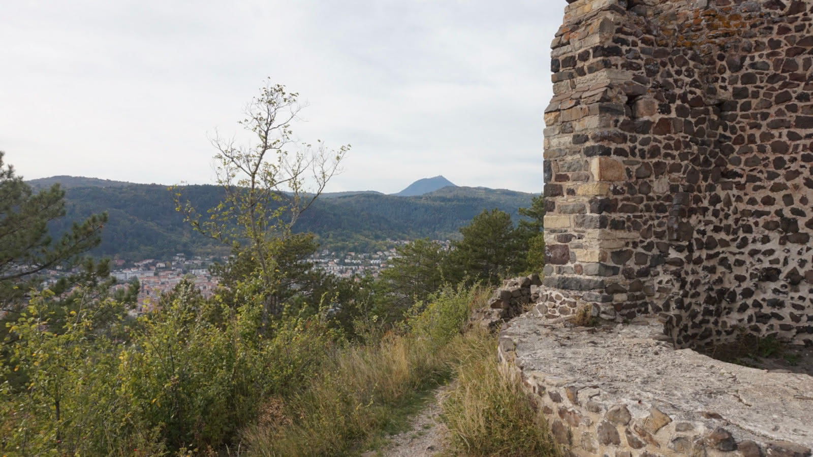
Walk on the puy de Montrognon, at the top of which stand the ruins of the castle of the same name. The slopes alternate between woods, fields and recent housing estates.

Already more than 200,000 users!
Uphill
179m
Highest point
677m
Downhill
179m
Lowest point
502m
Route type
Loop
Download the map on your smartphone to save battery and rest assured to always keep access to the route, even without signal.
Includes IGN France and Swisstopo.
I indicate whether dogs are allowed or prohibited on this trail
All year
0 ratings
Also enjoy:

Already more than 200,000 users!