Uphill
296m
France > Auvergne-Rhône-Alpes > Puy-de-Dôme > Volcans d'Auvergne Regional Natural Park
Length
8km
Duration
3h
Elev gain
296m
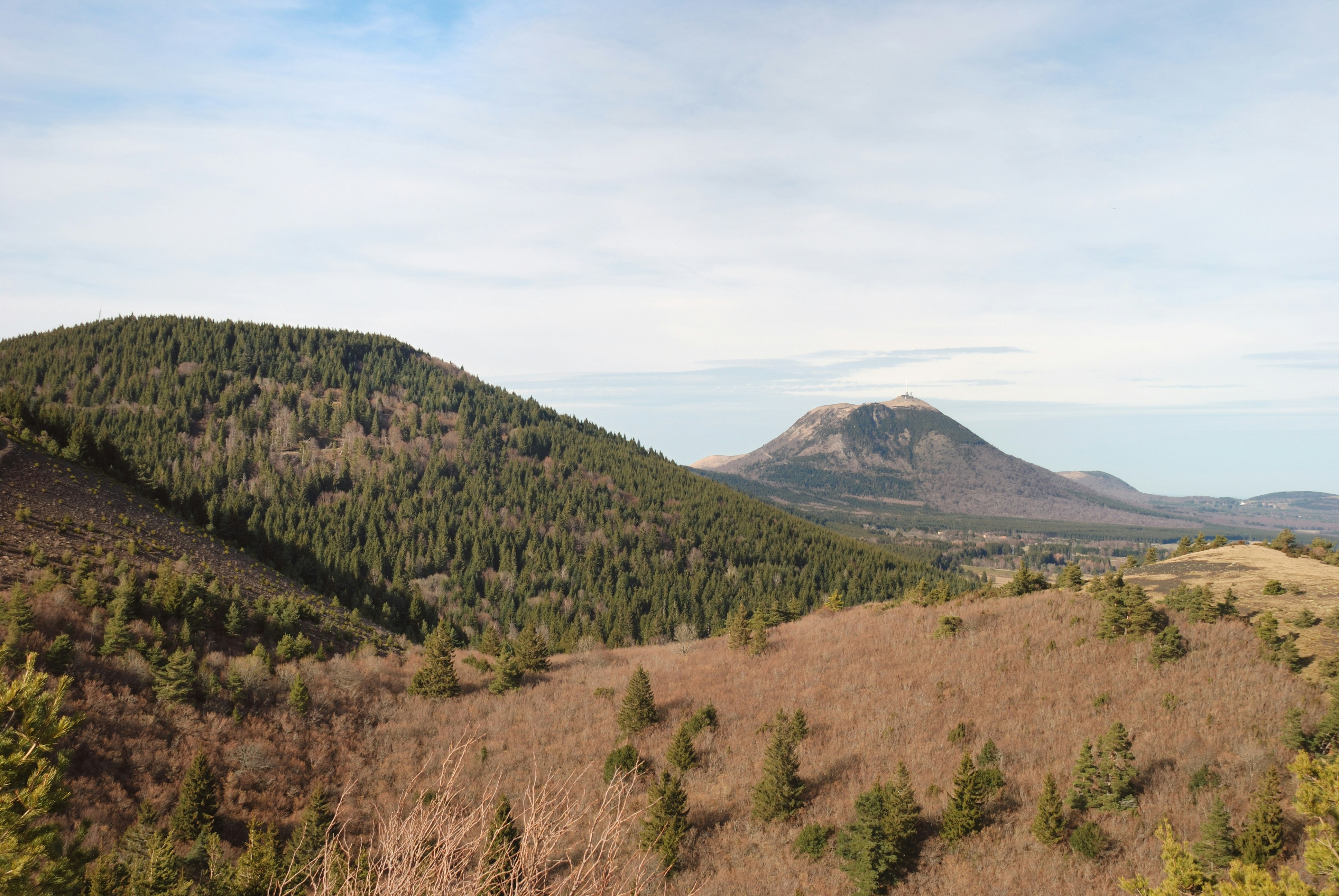
A beautiful hike that goes up to the Puy de Mercœur, at 1,249 meters above sea level. The path crosses a forest of spruces and beeches in order to reach the summit. Note that views are limited.
The return to the starting point is in the undergrowth.

Already more than 200,000 users!
Uphill
296m
Highest point
1239m
Downhill
296m
Lowest point
940m
Route type
Loop
Download the map on your smartphone to save battery and rest assured to always keep access to the route, even without signal.
Includes IGN France and Swisstopo.
I indicate whether dogs are allowed or prohibited on this trail
Can be difficult in Winter
1 rating
Les chemins sont mal indiqués ou inexistants
Arrivé en haut, il n’y a pas de point de vue mais vous serez juste entourés d’arbres
randonnées entièrement dans la forêt
Also enjoy:

Already more than 200,000 users!


