Uphill
374m
France > Auvergne-Rhône-Alpes > Puy-de-Dôme > Volcans d'Auvergne Regional Natural Park
Length
5km
Duration
2h30min
Elev gain
374m
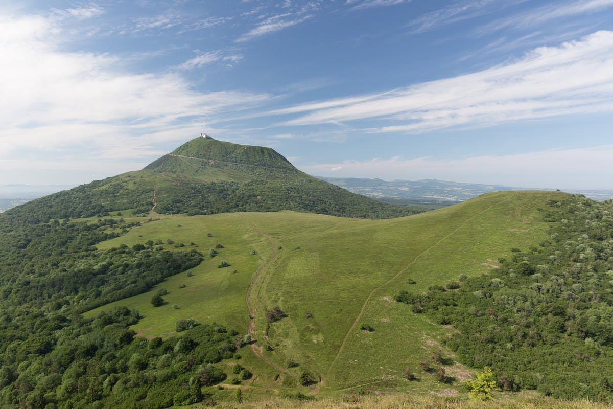
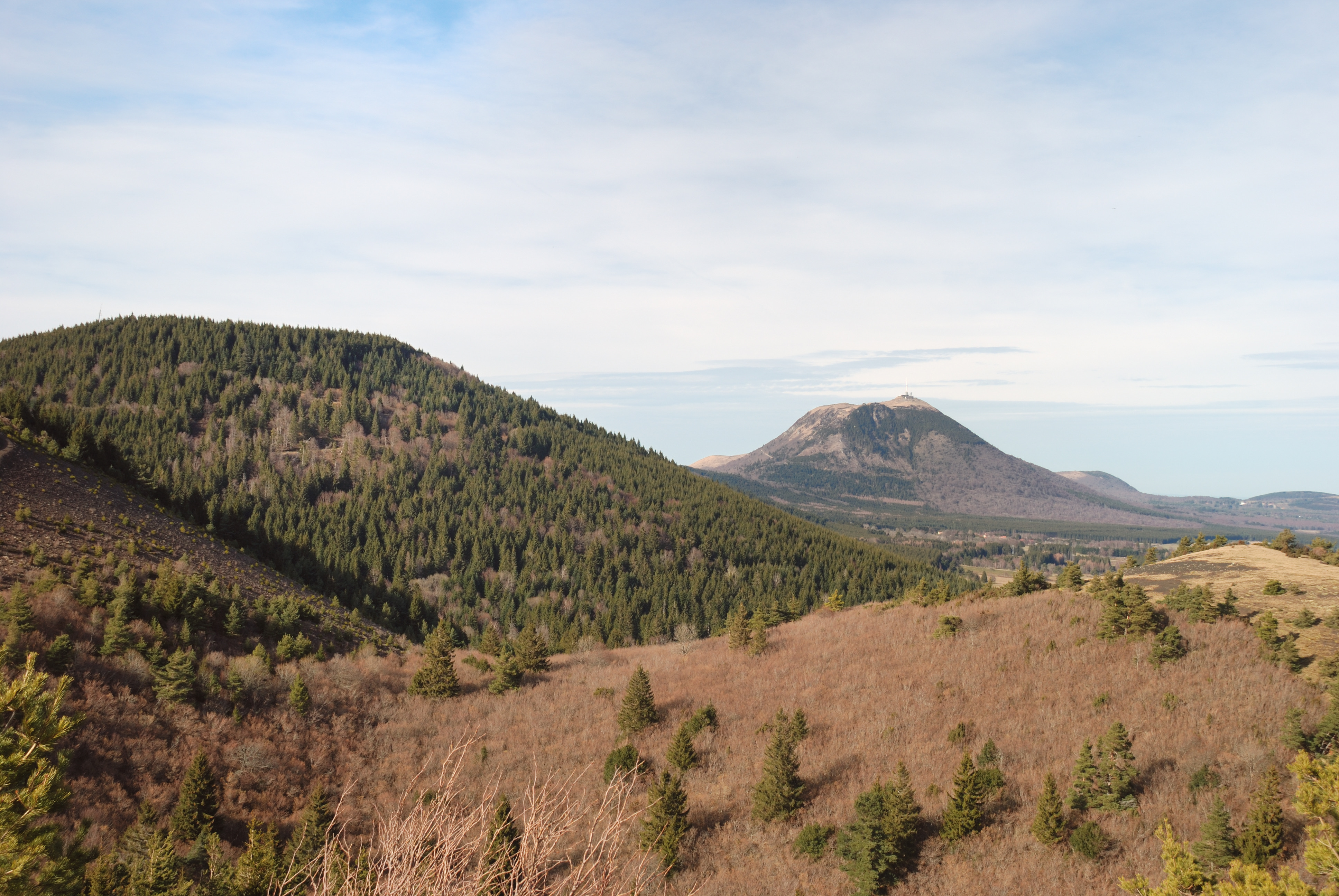
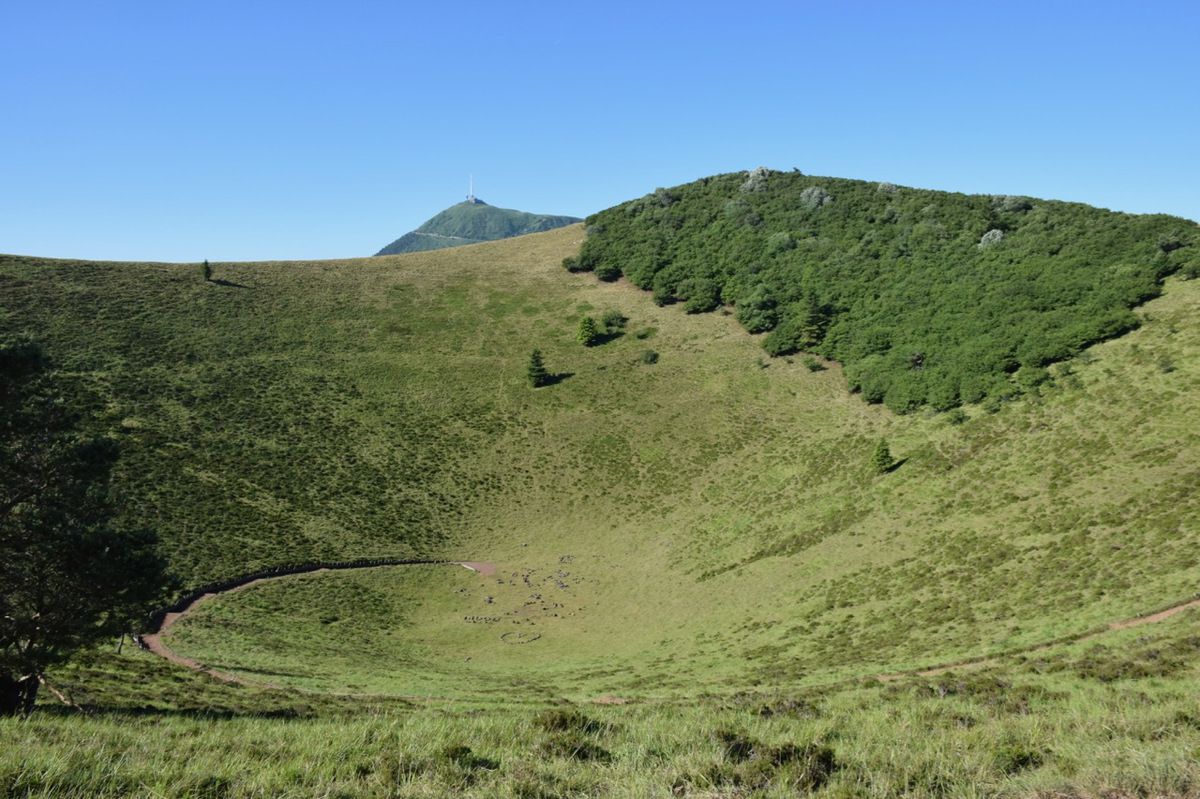
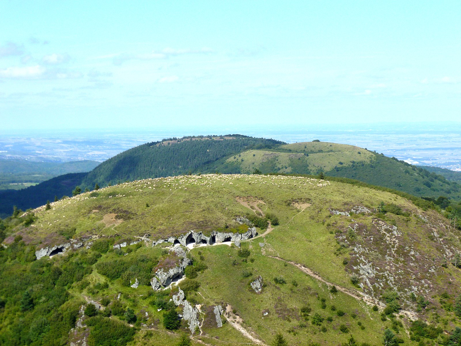
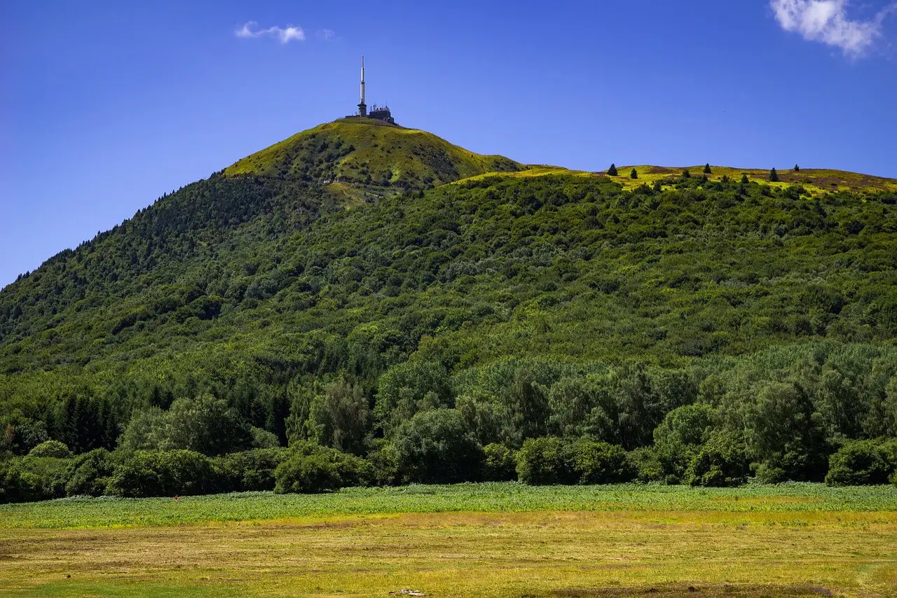
Starting from the Col de Ceyssat, this hike leads to the Puy de Dôme (1,464m), the highest volcano in the region. The trail is quite steep but the effort is worth it. At the top, the panoramic view is magnificent.

Already more than 200,000 users!
Uphill
374m
Highest point
1444m
Downhill
374m
Lowest point
1080m
Route type
Loop
Download the map on your smartphone to save battery and rest assured to always keep access to the route, even without signal.
Includes IGN France and Swisstopo.
Authorised on a leash
Can be difficult in Winter
4 ratings
Also enjoy:

Already more than 200,000 users!