Uphill
157m
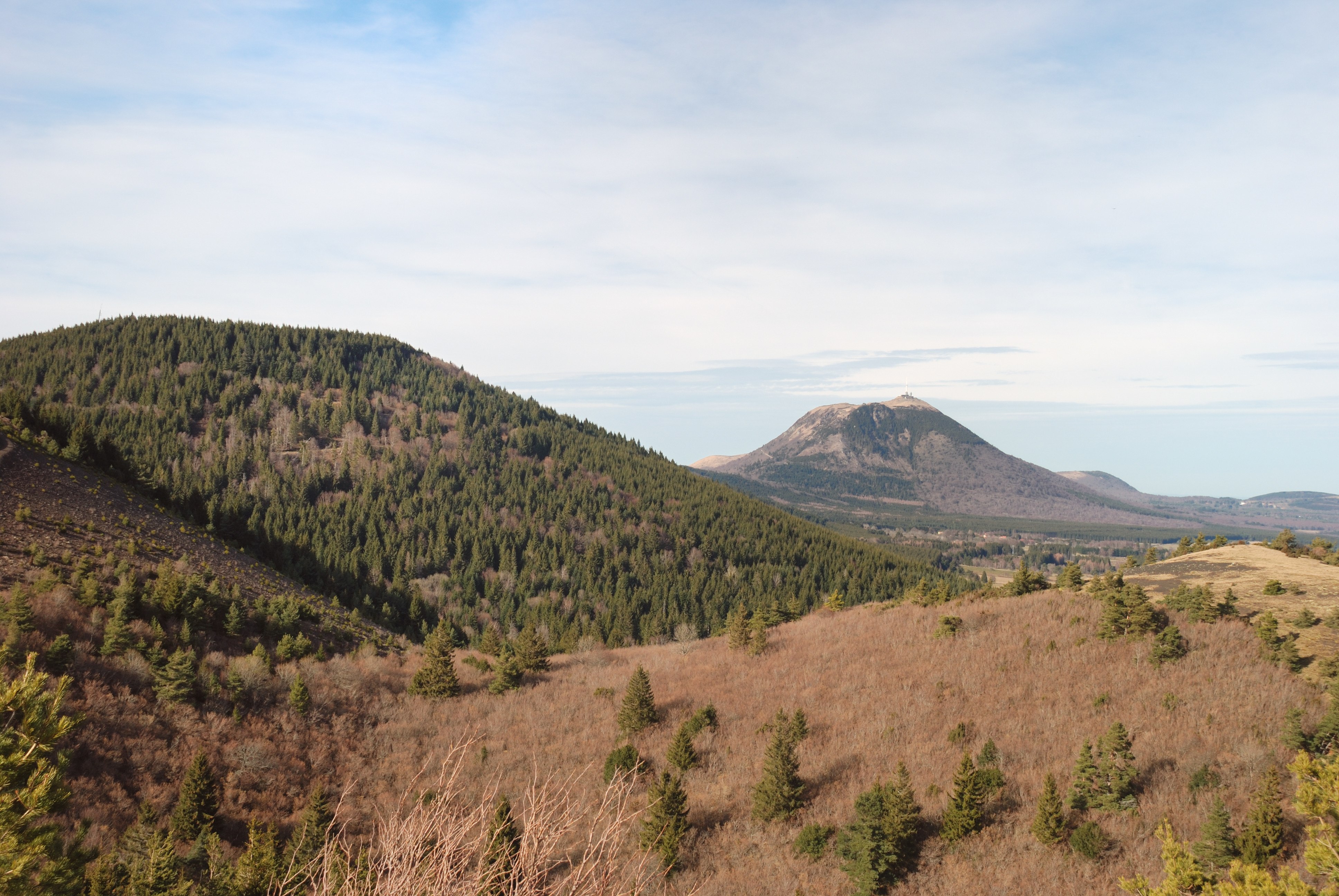
France > Auvergne-Rhône-Alpes > Puy-de-Dôme > Volcans d'Auvergne Regional Natural Park
Length
10km
Duration
3h
Elev gain
157m
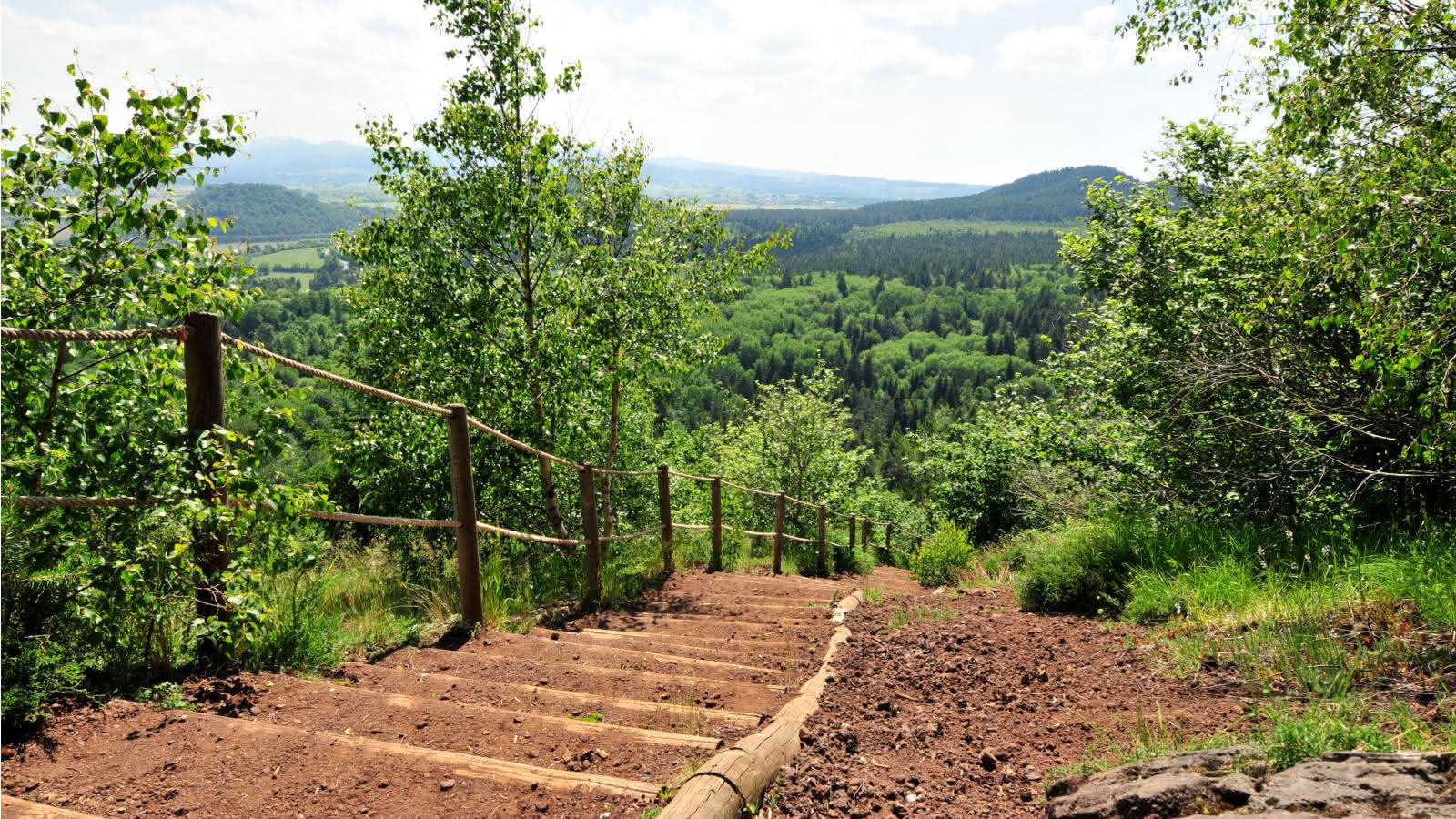
Nice hike from the castle of Montlosier. At first, the path passes very close to the Puy de Montjuger (1,142 m). The trail then goes around the Puy de Pourcharet (1,164 m), a monogenic volcano. The landscapes are superb.

Already more than 200,000 users!
Uphill
157m
Highest point
1066m
Downhill
157m
Lowest point
960m
Route type
Loop
Download the map on your smartphone to save battery and rest assured to always keep access to the route, even without signal.
Includes IGN France and Swisstopo.
I indicate whether dogs are allowed or prohibited on this trail
Can be difficult in Winter
1 rating
Also enjoy:

Already more than 200,000 users!