Uphill
282m
Length
10km
Duration
3h
Elev gain
282m
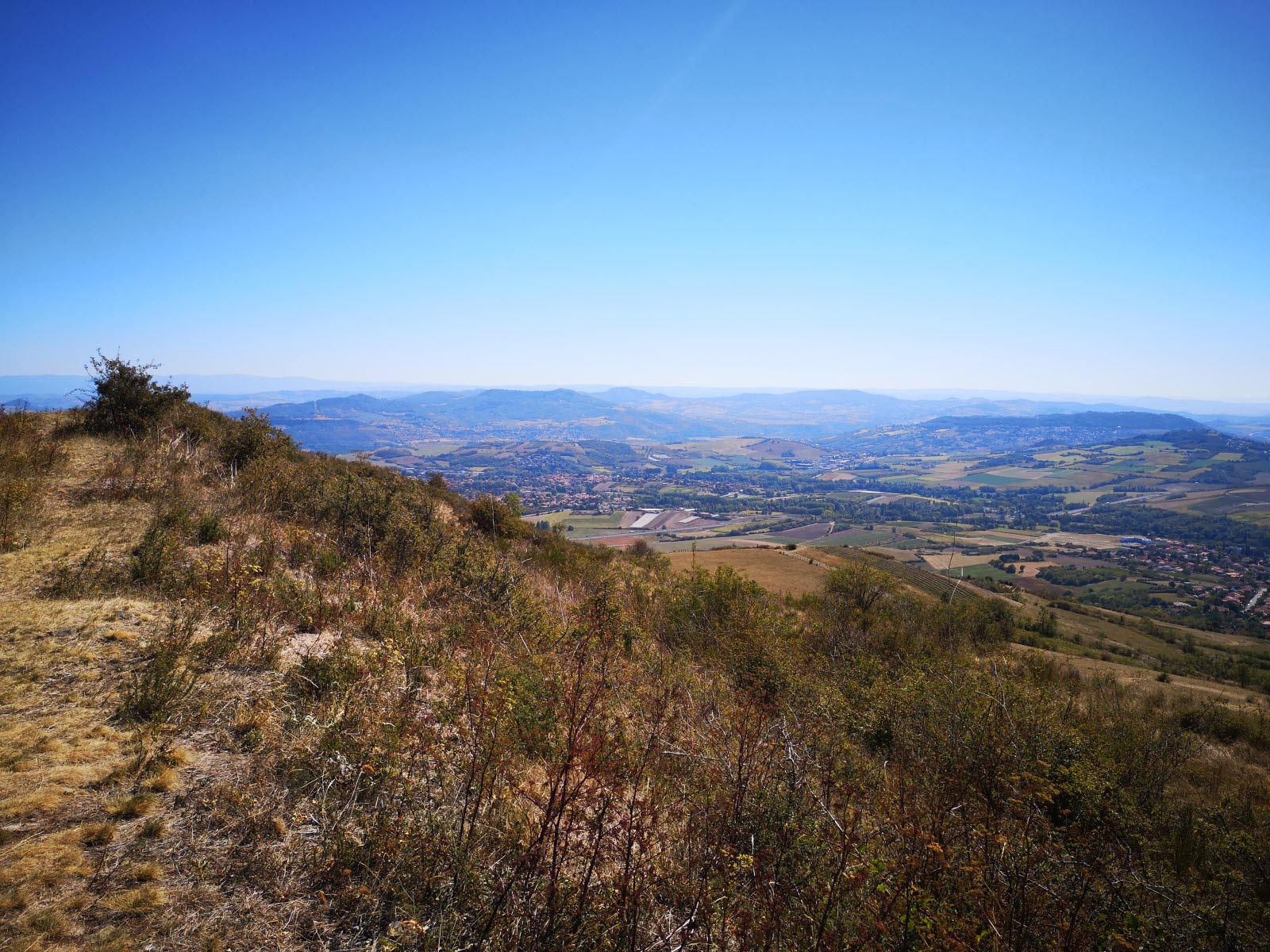
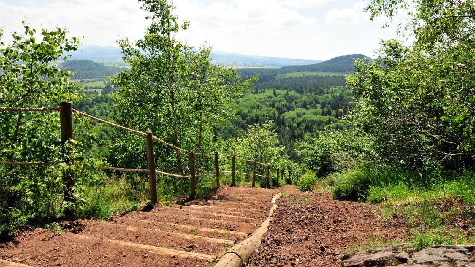
Pleasant hike leading to the Puy de Gourdon (879 m). Once on the heights, the view clears and gives way to superb landscapes.

Already more than 200,000 users!
Uphill
282m
Highest point
871m
Downhill
282m
Lowest point
601m
Route type
Loop
Download the map on your smartphone to save battery and rest assured to always keep access to the route, even without signal.
Includes IGN France and Swisstopo.
I indicate whether dogs are allowed or prohibited on this trail
All year
0 ratings
Also enjoy:

Already more than 200,000 users!