Uphill
54m
Length
4km
Duration
1h
Elev gain
54m
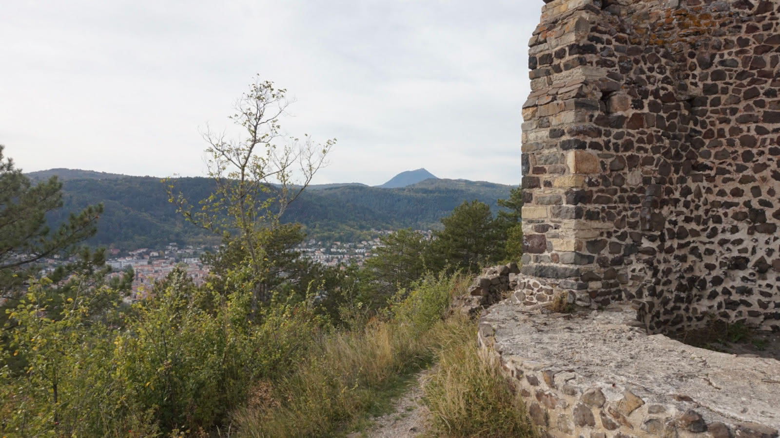
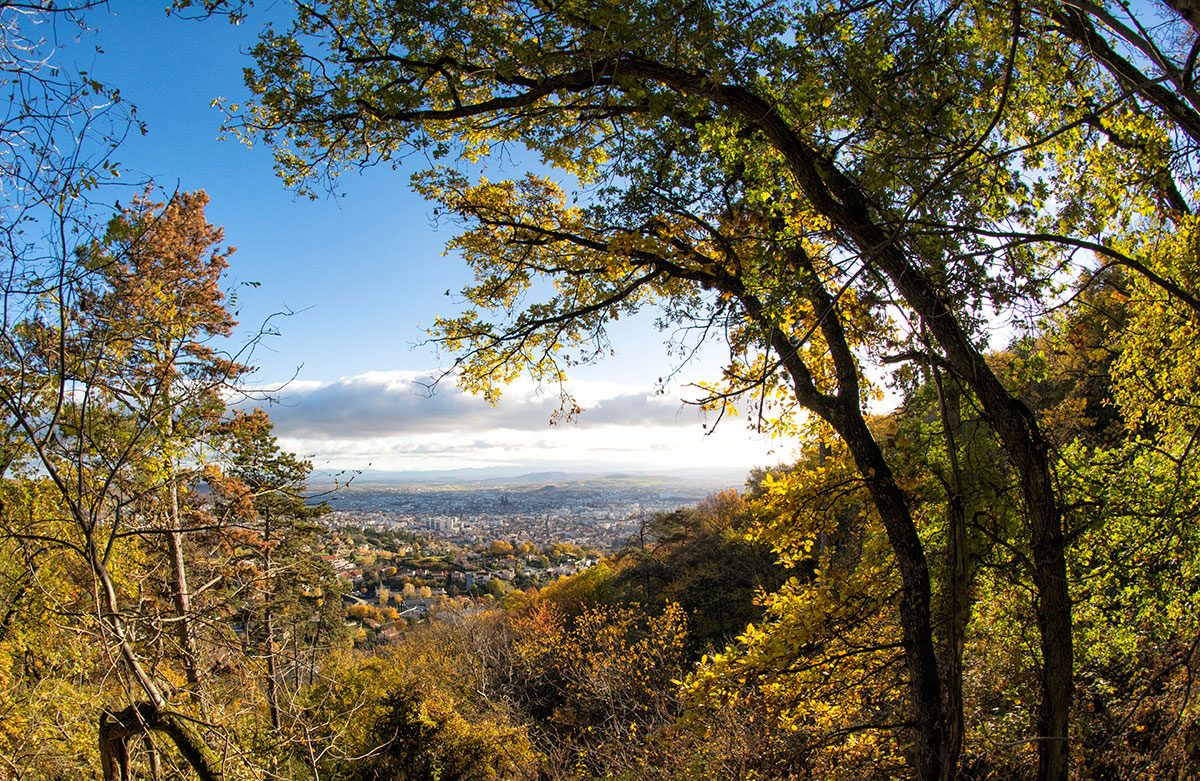
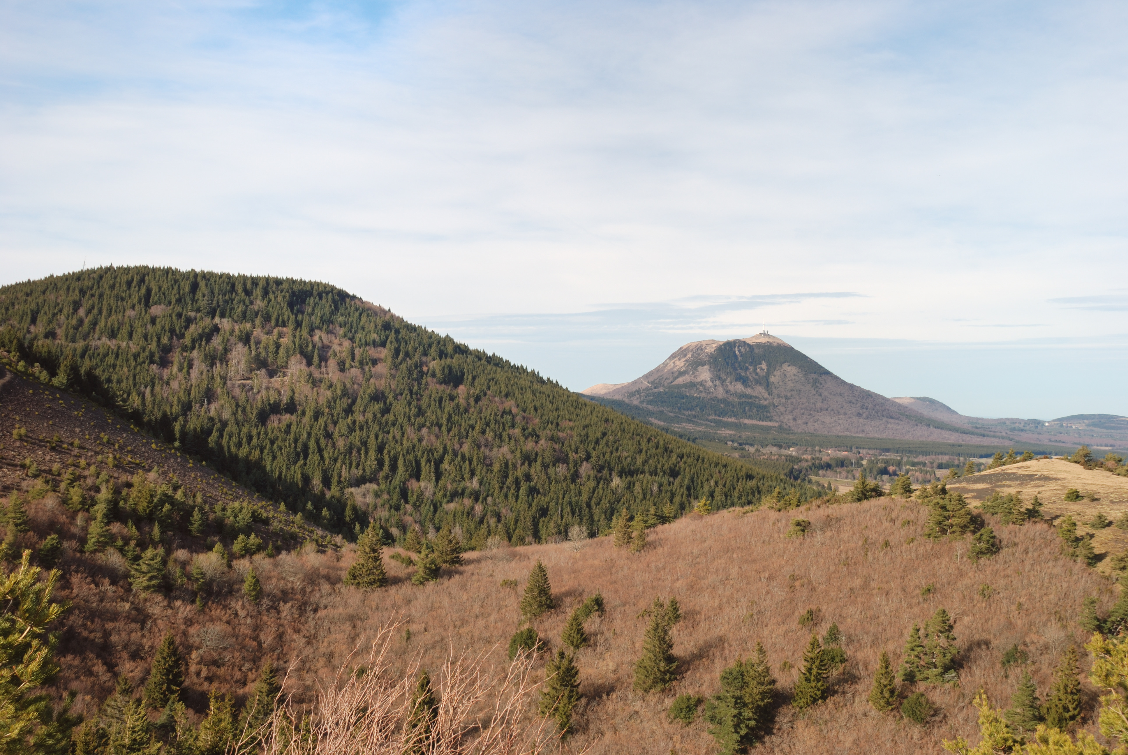
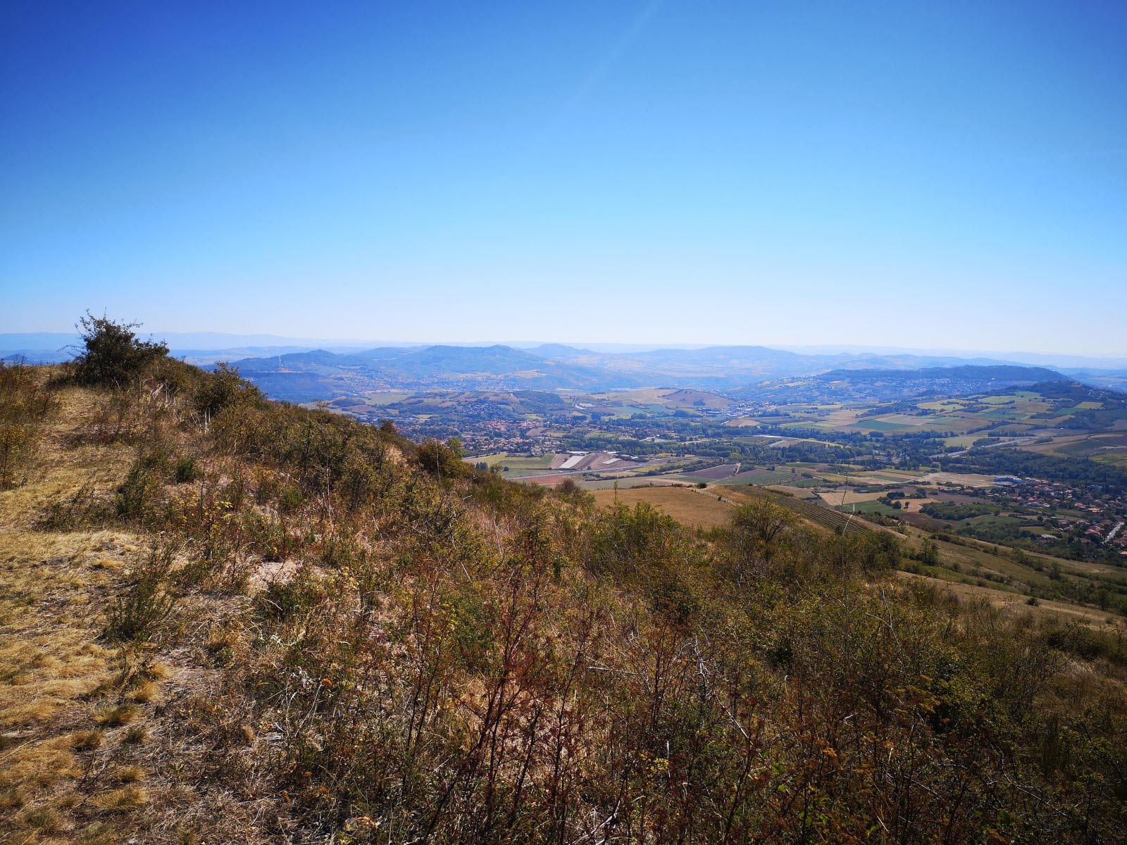
Nice walk on the plateau of Gergovie. The trail completes a loop and offers lovely views of Clermont-Ferrand and the Puys chain.
Nearby is the archaeological museum of the Battle of Gergovie.

Already more than 200,000 users!
Uphill
54m
Highest point
738m
Downhill
54m
Lowest point
694m
Route type
Loop
Download the map on your smartphone to save battery and rest assured to always keep access to the route, even without signal.
Includes IGN France and Swisstopo.
I indicate whether dogs are allowed or prohibited on this trail
All year
3 ratings
Also enjoy:

Already more than 200,000 users!