Uphill
800m
France > Auvergne-Rhône-Alpes > Puy-de-Dôme > Volcans d'Auvergne Regional Natural Park
Length
15km
Duration
6h30min
Elev gain
800m
Here is the first stage of a 4-day trek in the Sancy.
From Mont-Dore, the trail quickly leaves the town to reach the Grande Cascade. This is the highest in Auvergne with 32 meters.
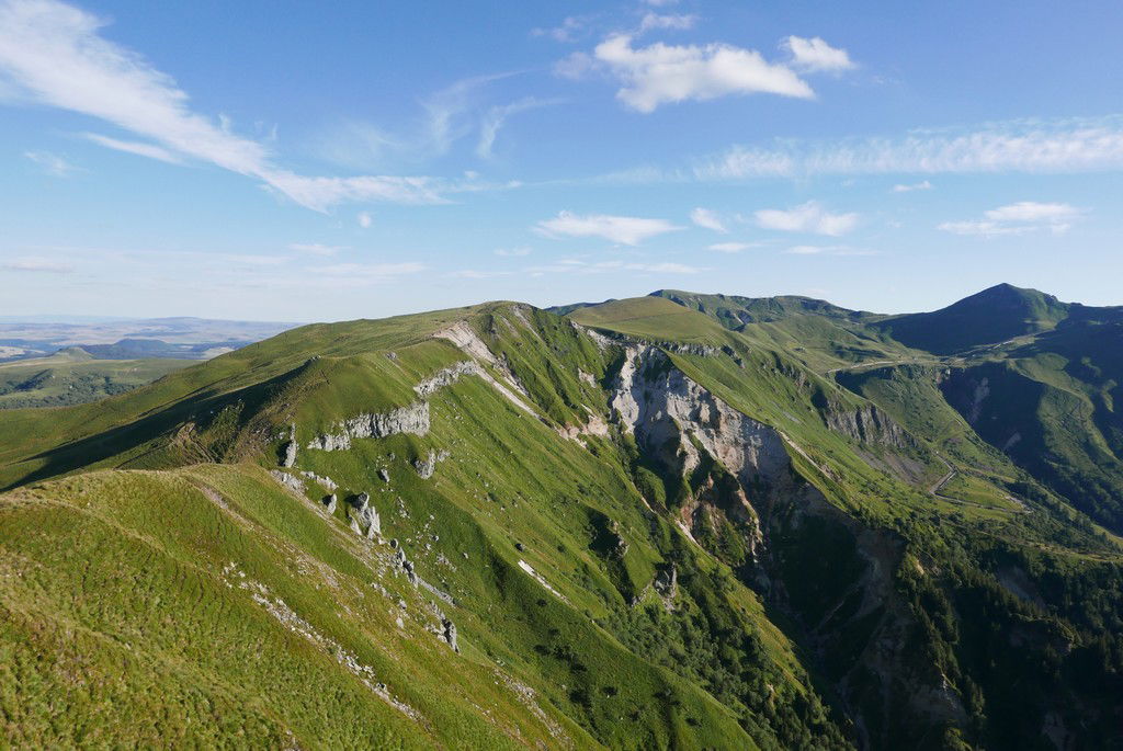
The path then climbs to the Roc de Cuzeau (1,737 m) and the Puy des Crebasses (1,761 m), which are located on a ridge line overlooking the Mont-Dore valley and facing the Puy de Sancy. Magnificent landscapes.
The route continues overlooking the Chaudefour valley and its nature reserve, before reaching Chambon-sur-Lac to complete this first day.

Already more than 200,000 users!
Uphill
800m
Highest point
1741m
Downhill
954m
Lowest point
889m
Route type
One way
Download the map on your smartphone to save battery and rest assured to always keep access to the route, even without signal.
Includes IGN France and Swisstopo.
Several options in Chambon-sur-Lac. Here is our selection.
I indicate whether dogs are allowed or prohibited on this trail
From May to October
4 ratings
Also enjoy:

Already more than 200,000 users!


