Uphill
1122m
France > Auvergne-Rhône-Alpes > Savoie > Massif des Bauges Regional Natural Park
Length
14km
Duration
7h30min
Elev gain
1122m
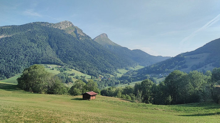
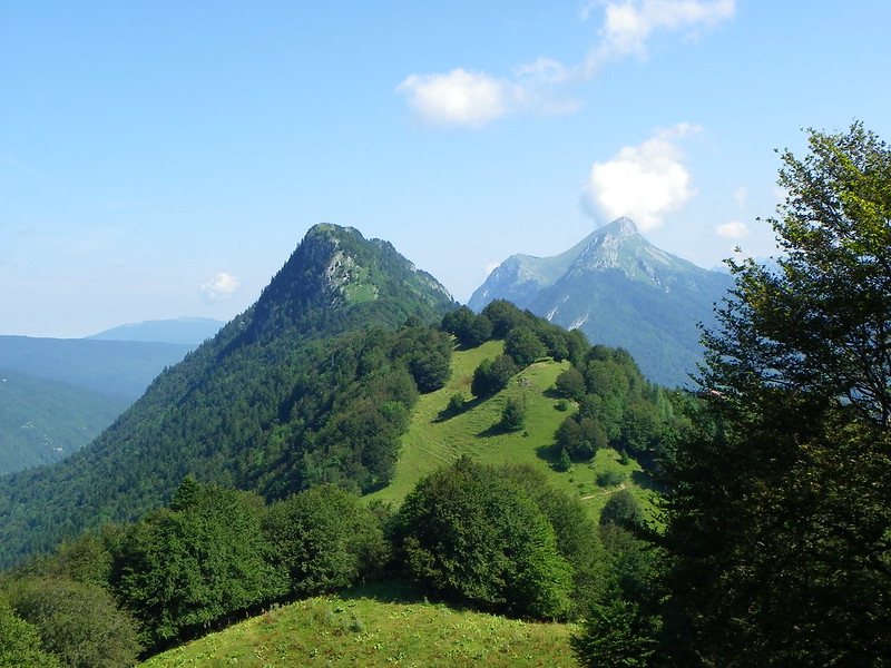
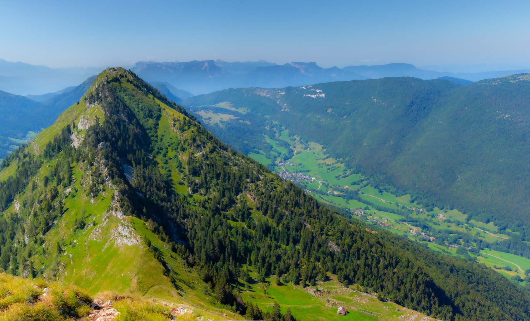
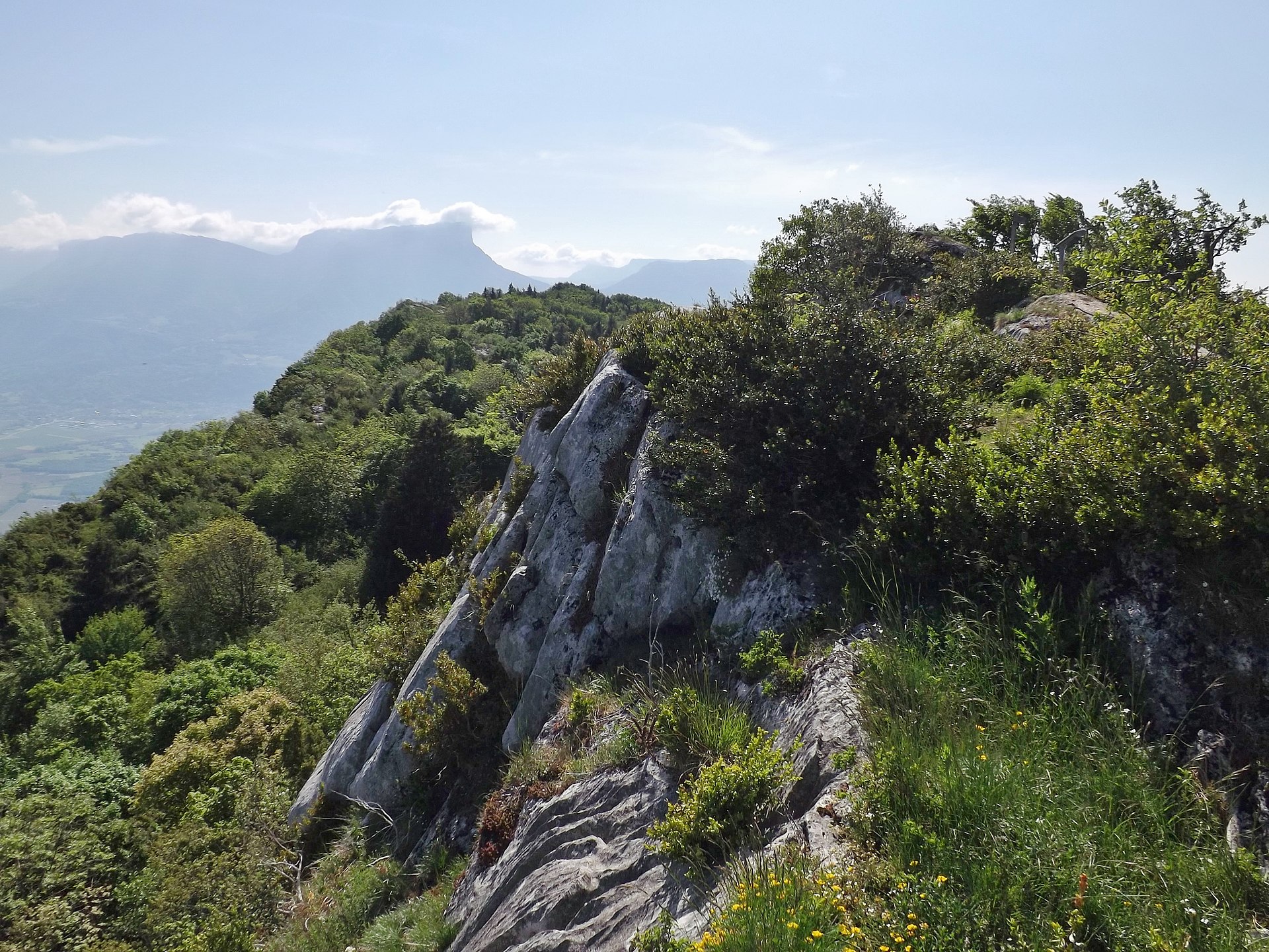
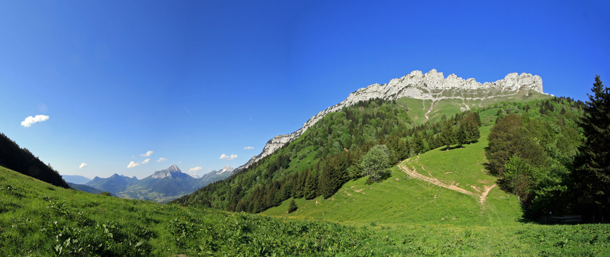
This is the most accessible route to reach Dent d'Arclusaz, starting from Col du Frêne.

Already more than 200,000 users!
Uphill
1122m
Highest point
2013m
Downhill
1122m
Lowest point
952m
Route type
There and back
Download the map on your smartphone to save battery and rest assured to always keep access to the route, even without signal.
Includes IGN France and Swisstopo.
I indicate whether dogs are allowed or prohibited on this trail
From May to September
2 ratings
Also enjoy:

Already more than 200,000 users!