Uphill
1303m
France > Auvergne-Rhône-Alpes > Savoie > Massif des Bauges Regional Natural Park
Length
12km
Duration
8h30min
Elev gain
1303m
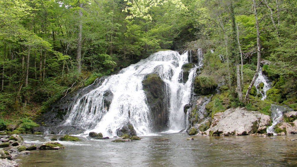
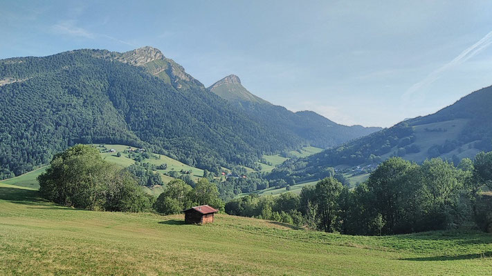
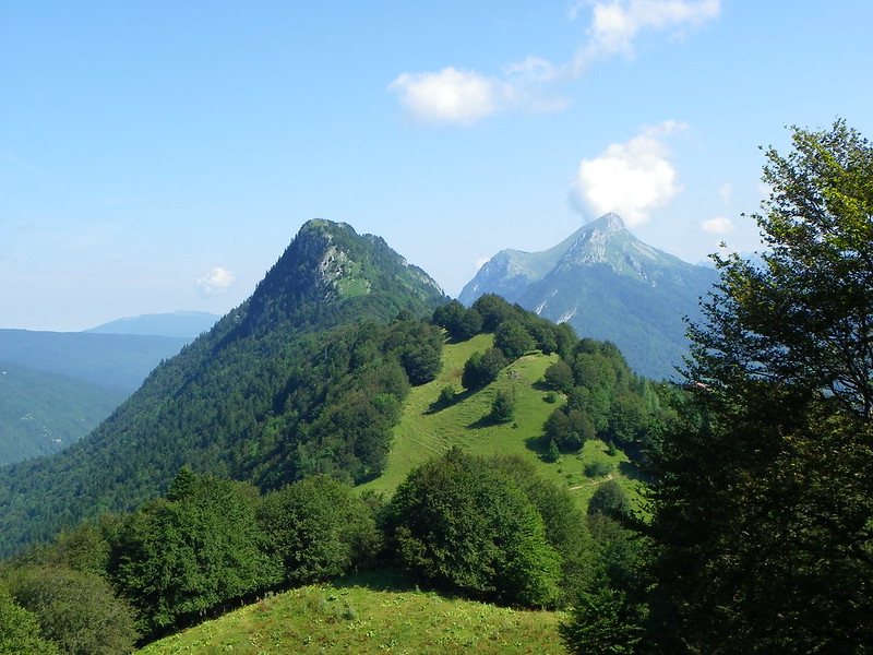
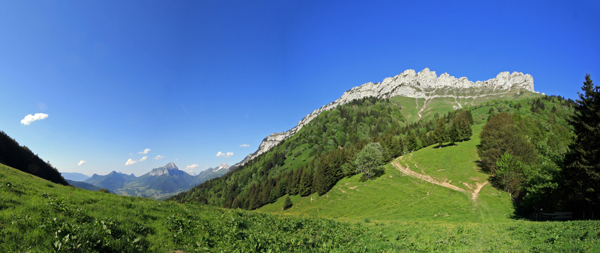
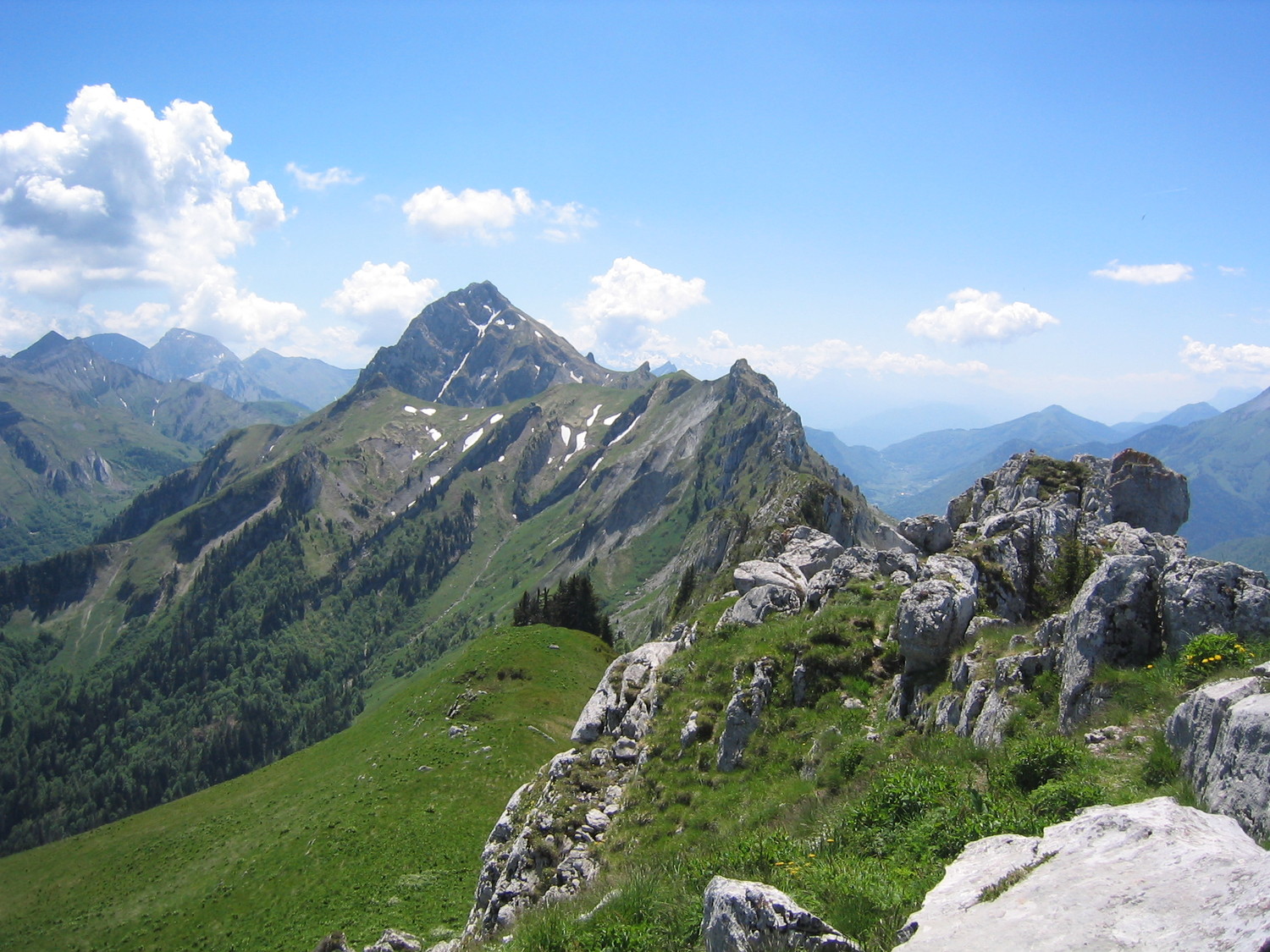
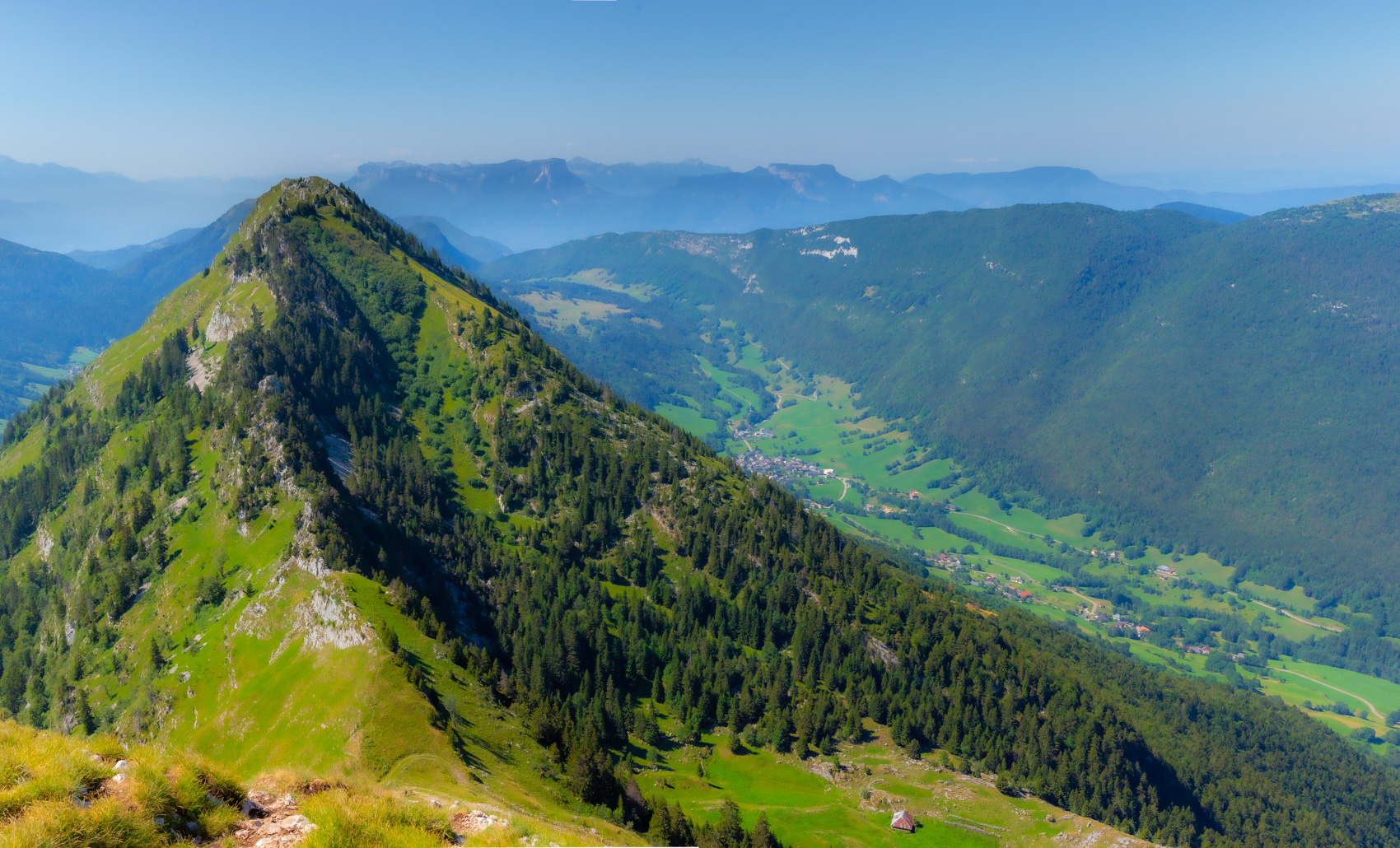
Departing from Aillon-le-Vieux, this is a hike with a significant elevation gain, which leads to the summit of Mont Colombier (2,045 m). This mountain, due to its relative isolation from the rest of the massif, offers a magnificent 360 ° panorama.

Already more than 200,000 users!
Uphill
1303m
Highest point
2018m
Downhill
1303m
Lowest point
914m
Route type
Loop
Download the map on your smartphone to save battery and rest assured to always keep access to the route, even without signal.
Includes IGN France and Swisstopo.
I indicate whether dogs are allowed or prohibited on this trail
From May to September
0 ratings
Also enjoy:

Already more than 200,000 users!