Uphill
34m
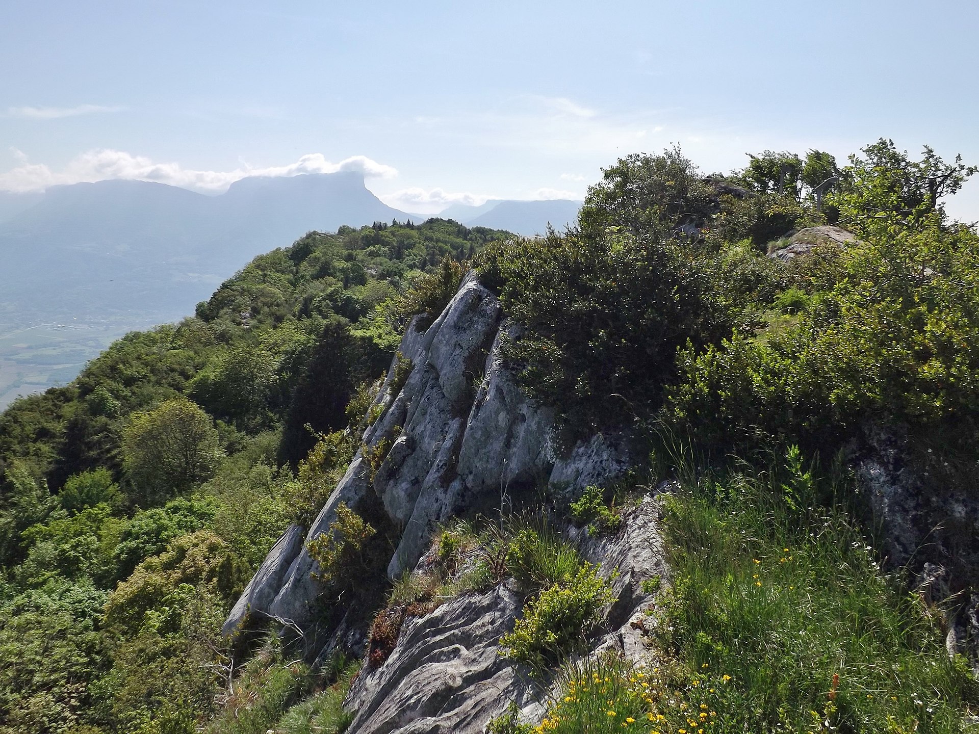
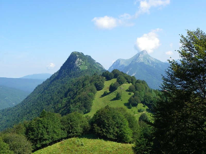
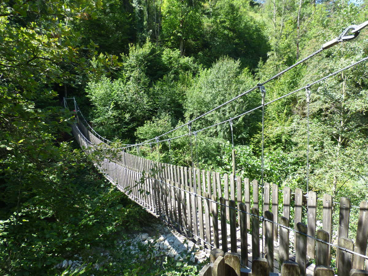
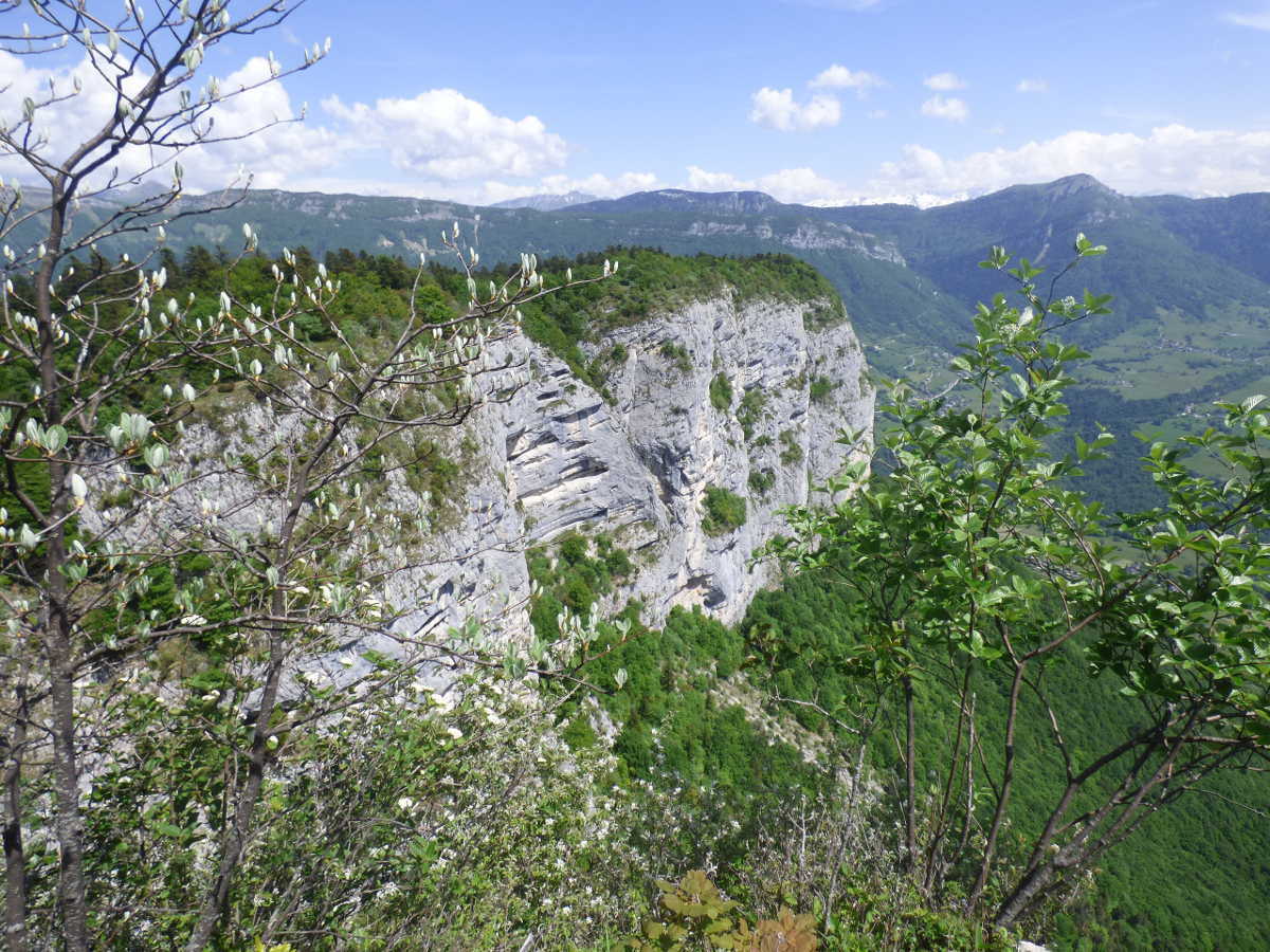
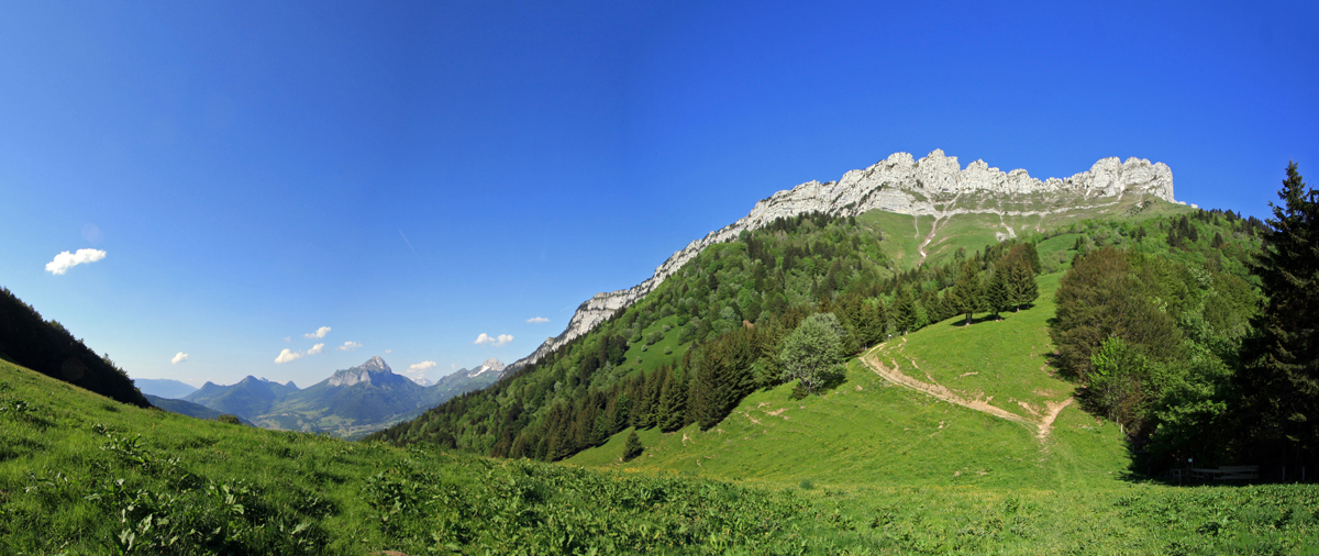
France > Auvergne-Rhône-Alpes > Savoie > Massif des Bauges Regional Natural Park
Length
2km
Duration
30min
Elev gain
34m
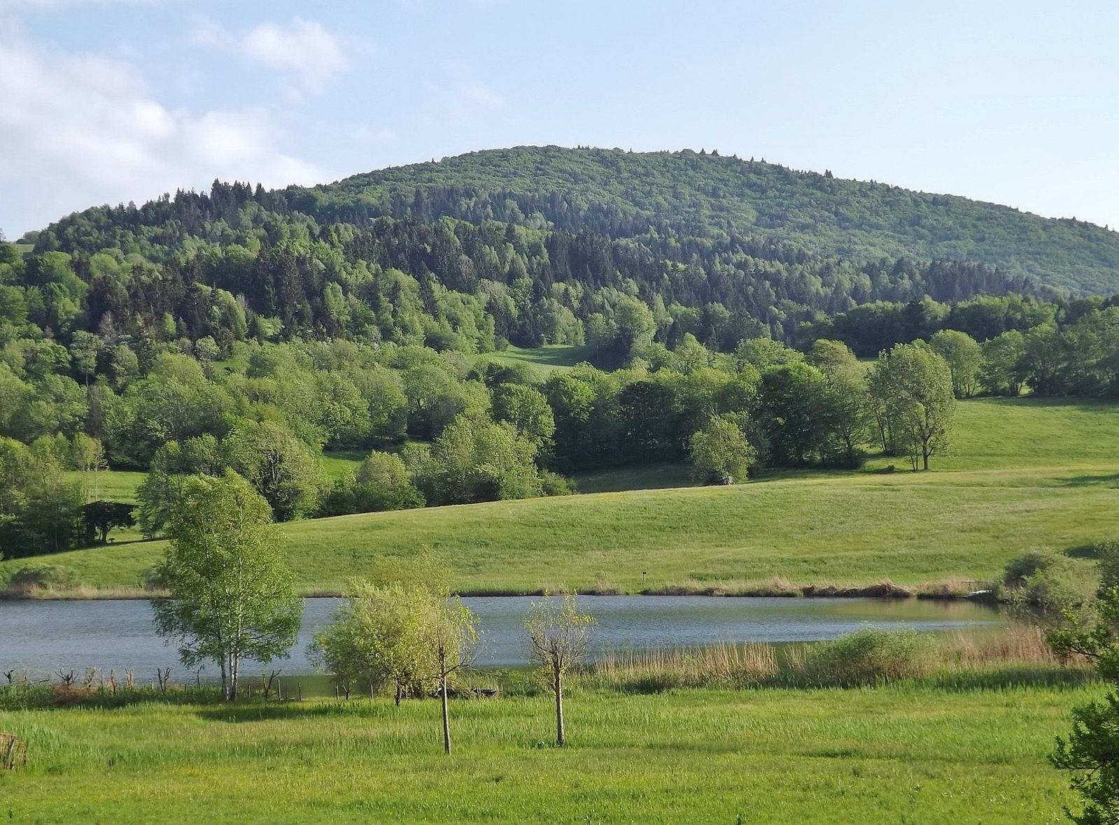
Short loop around Lac de la Thuile. The east bypass is done along a road, with a physical separation.

Already more than 200,000 users!
Uphill
34m
Highest point
902m
Downhill
34m
Lowest point
868m
Route type
Loop
Download the map on your smartphone to save battery and rest assured to always keep access to the route, even without signal.
Includes IGN France and Swisstopo.
I indicate whether dogs are allowed or prohibited on this trail
Can be difficult in Winter
0 ratings
Also enjoy:

Already more than 200,000 users!