Uphill
461m
Length
10km
Duration
3h30min
Elev gain
461m
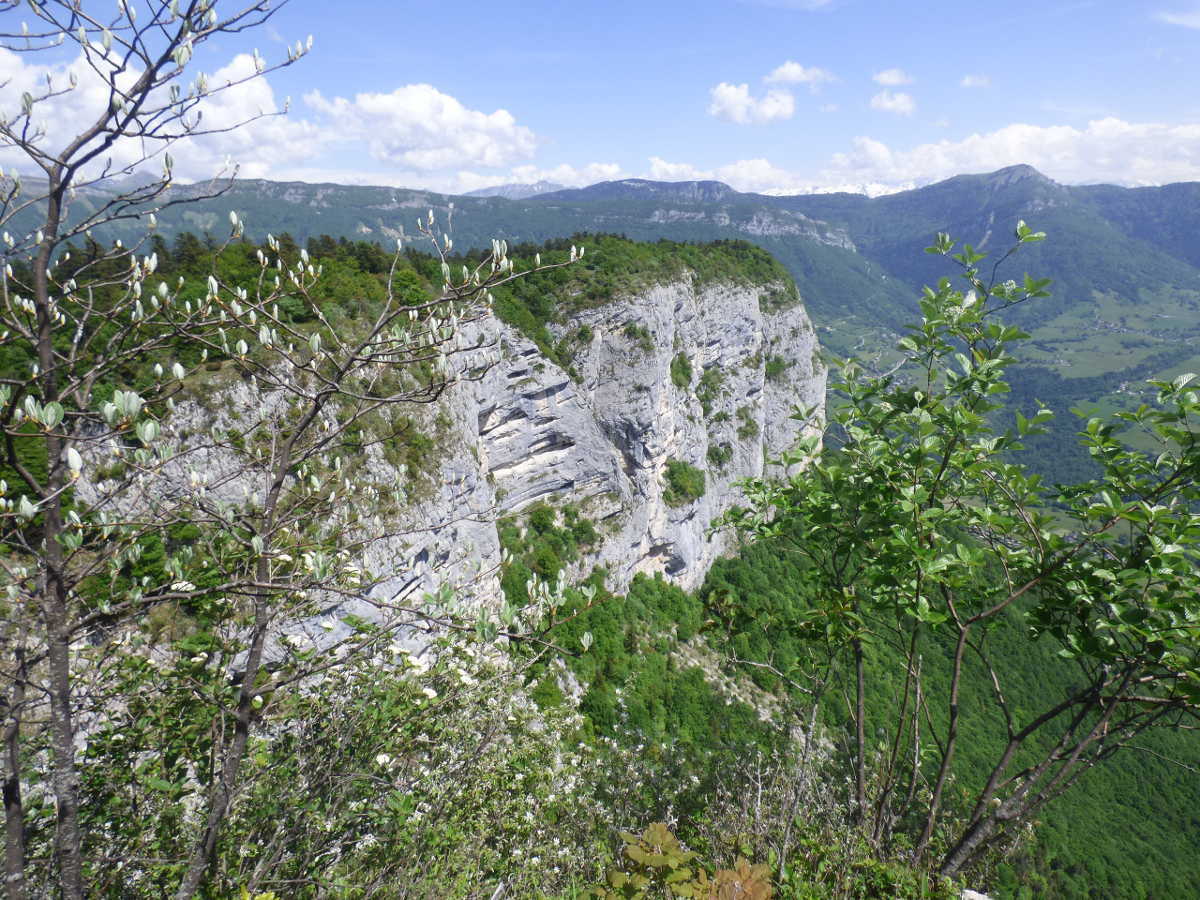
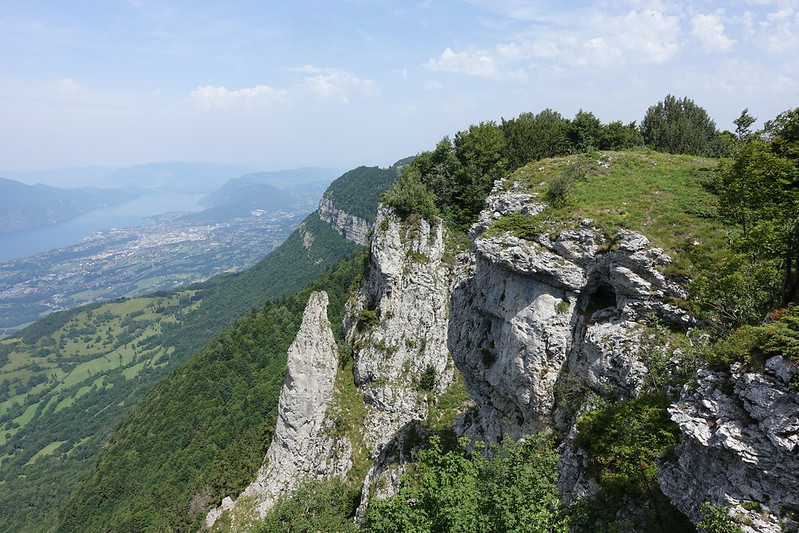
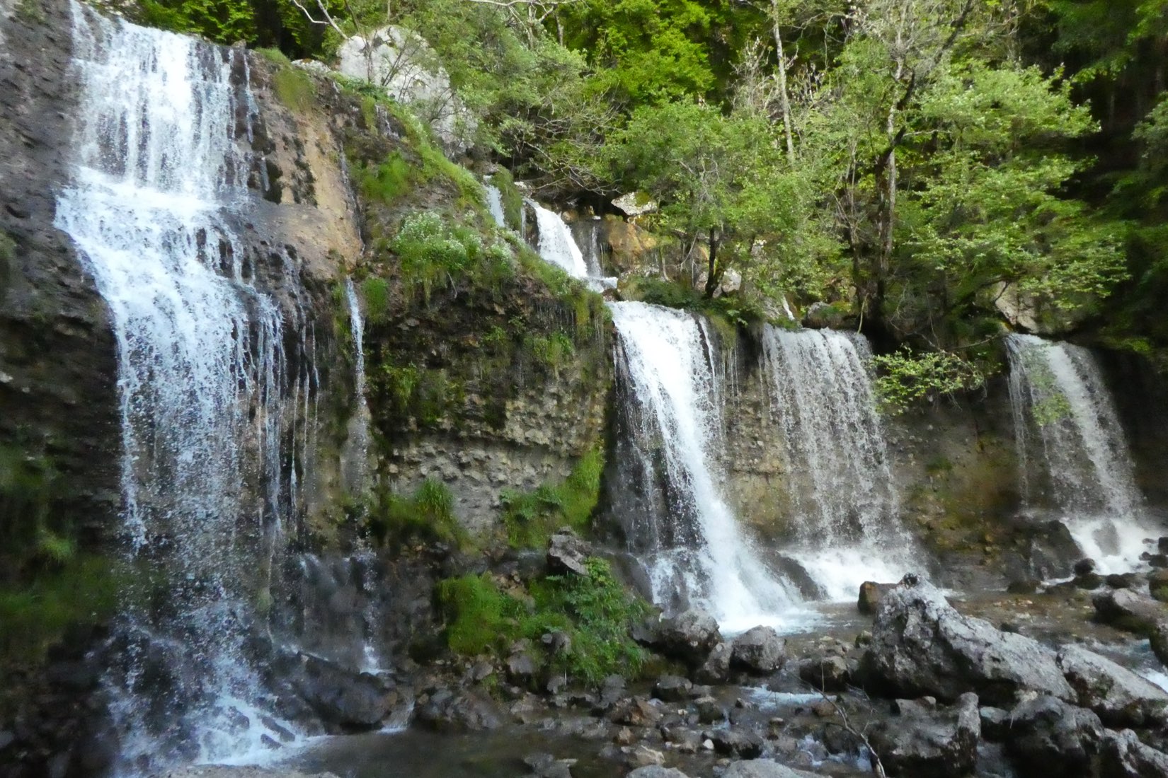
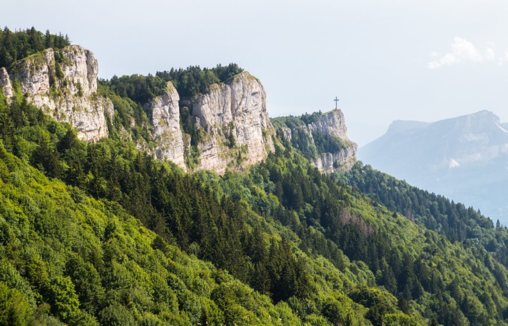
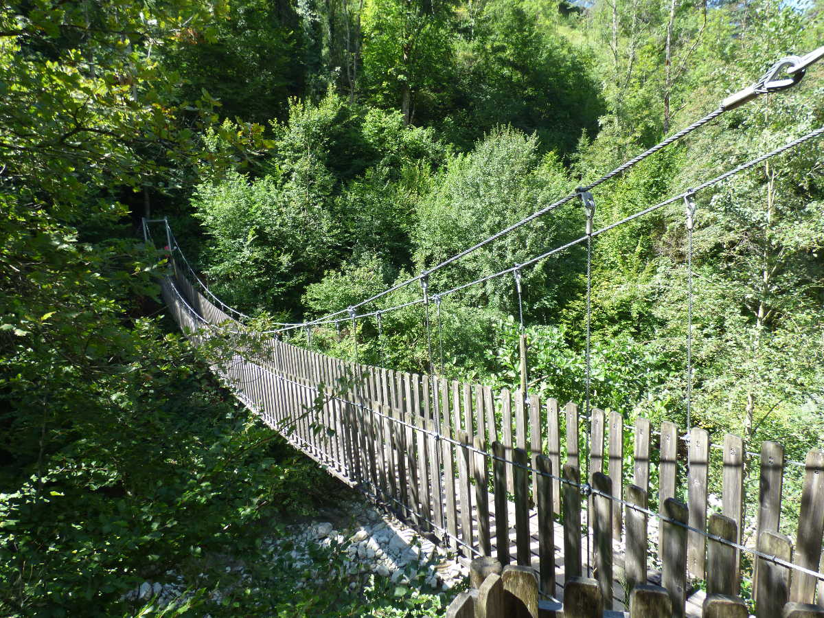
Popular hike near Chambery. The circuit runs along the Leysse and the Bout du Monde waterfall, before climbing via the Sentier des Vignes. A small detour also leads to the Trou de l'Enfer and its suspension bridge, for a nice view of the surrounding forest.
Note that the return trip takes a road over a kilometer and a half.

Already more than 200,000 users!
Uphill
461m
Highest point
583m
Downhill
461m
Lowest point
321m
Route type
Loop
Download the map on your smartphone to save battery and rest assured to always keep access to the route, even without signal.
Includes IGN France and Swisstopo.
I indicate whether dogs are allowed or prohibited on this trail
All year
2 ratings
Also enjoy:

Already more than 200,000 users!