Uphill
404m
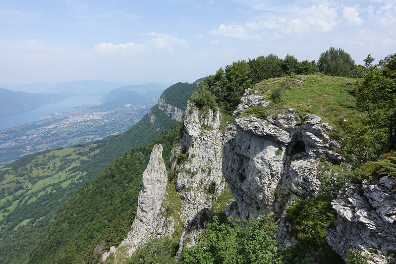
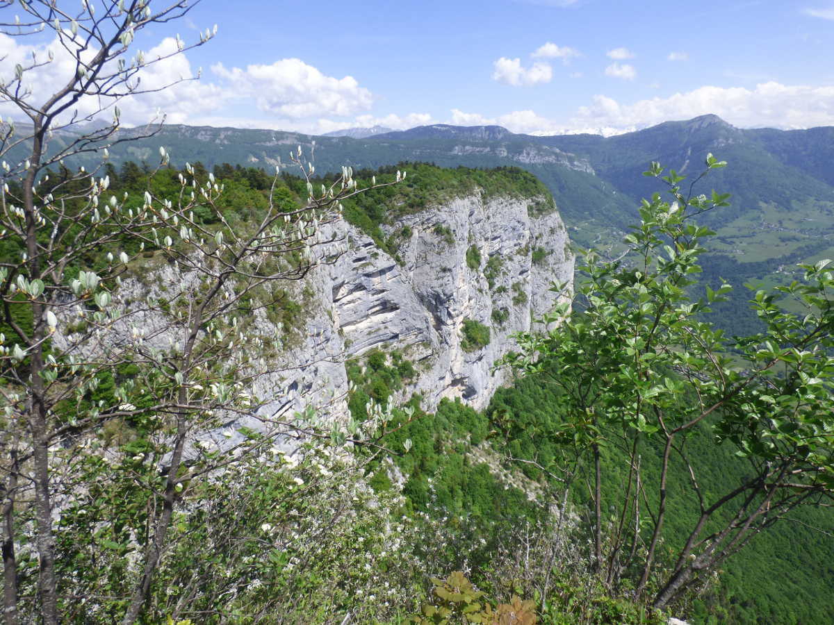
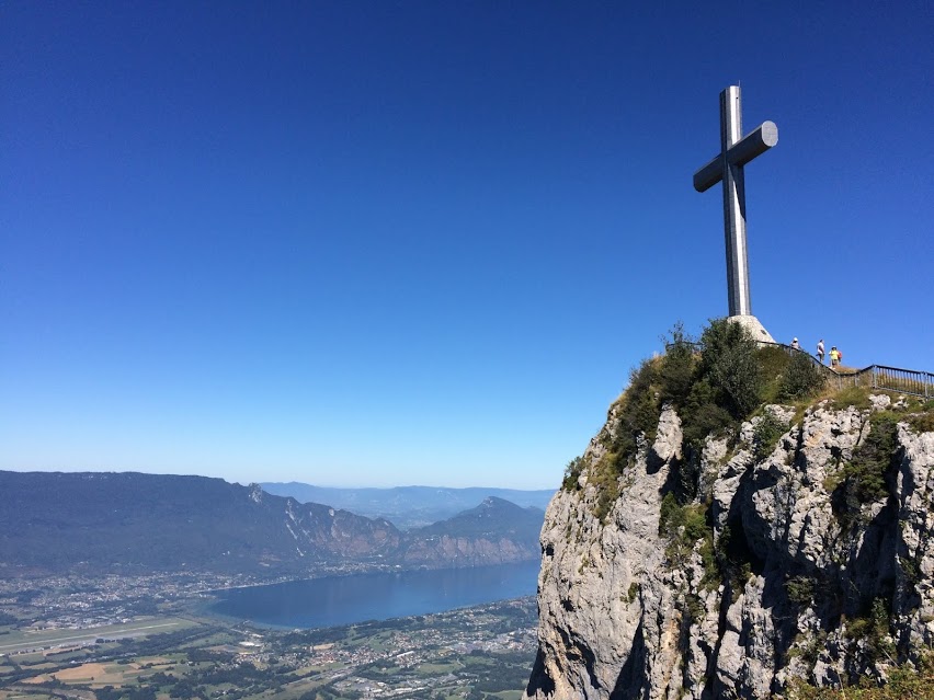
France > Auvergne-Rhône-Alpes > Savoie > Massif des Bauges Regional Natural Park
Length
4km
Duration
2h30min
Elev gain
404m
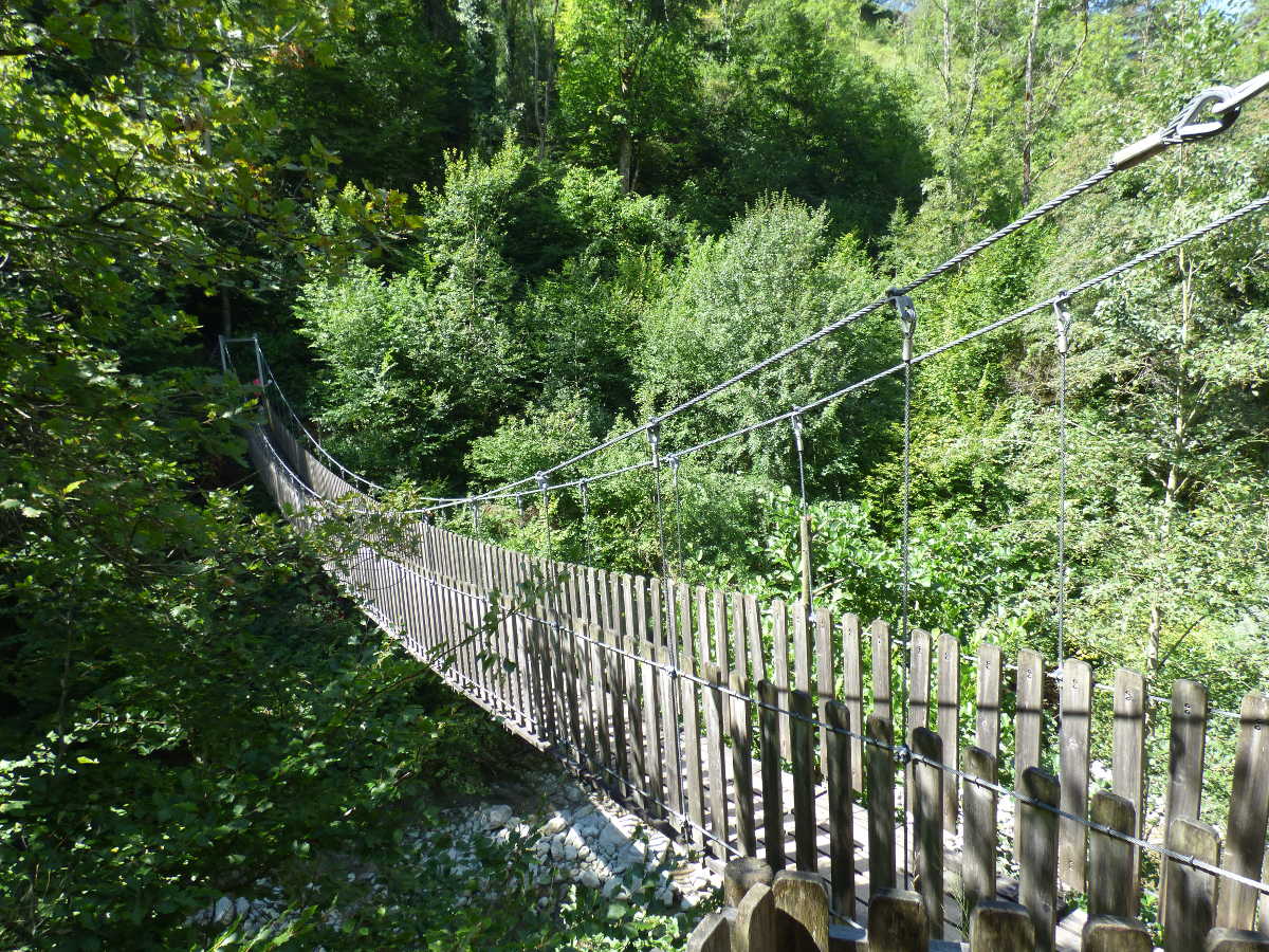
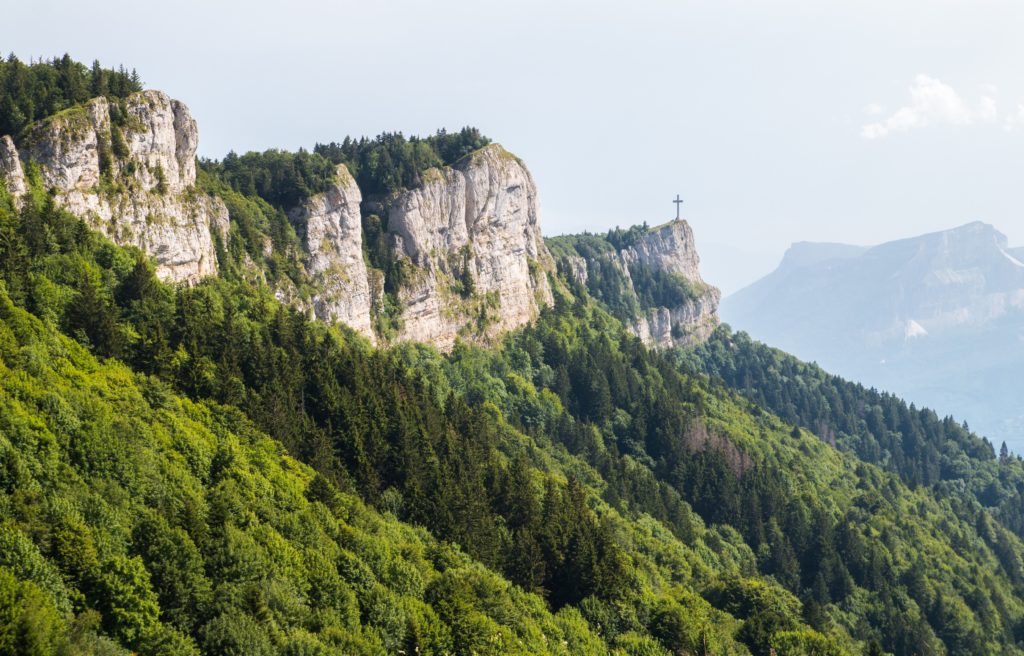
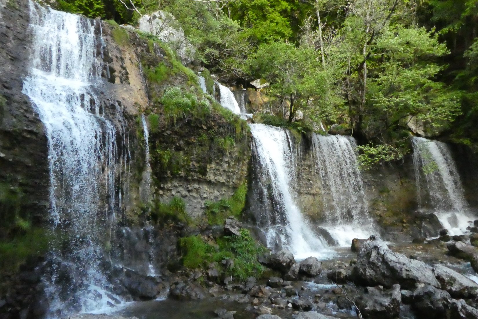
Located under the Nivolet cross, this trail is mostly in the shade of trees and runs along a river, in addition to reaching a cave and a waterfall. An outing to be preferred in the spring, when the snowmelt most feeds the waterfall.

Already more than 200,000 users!
Uphill
404m
Highest point
1085m
Downhill
404m
Lowest point
678m
Route type
Loop
Download the map on your smartphone to save battery and rest assured to always keep access to the route, even without signal.
Includes IGN France and Swisstopo.
Authorised
Can be difficult in Winter
3 ratings
Also enjoy:

Already more than 200,000 users!