Uphill
221m
France > Auvergne-Rhône-Alpes > Savoie > Massif des Bauges Regional Natural Park
Length
6km
Duration
2h
Elev gain
221m
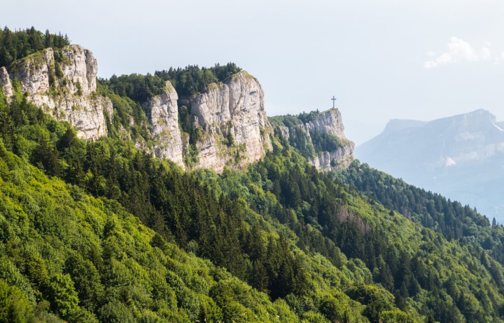
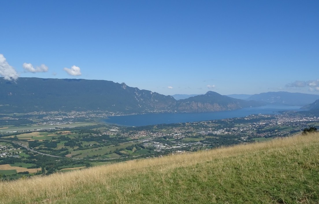
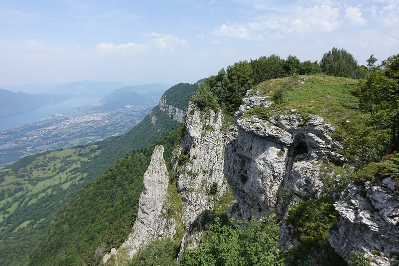
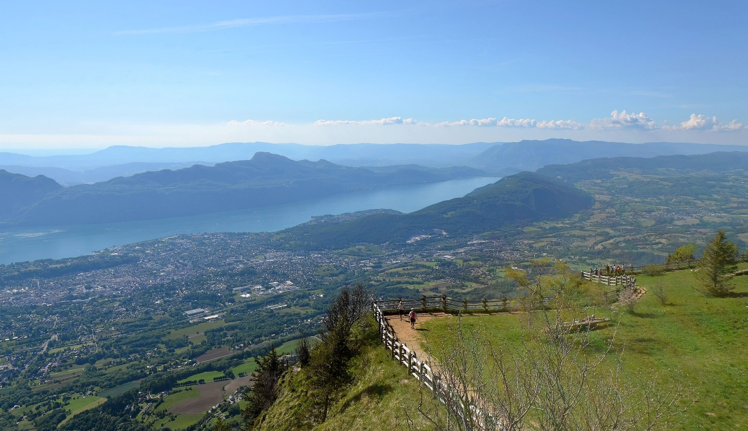
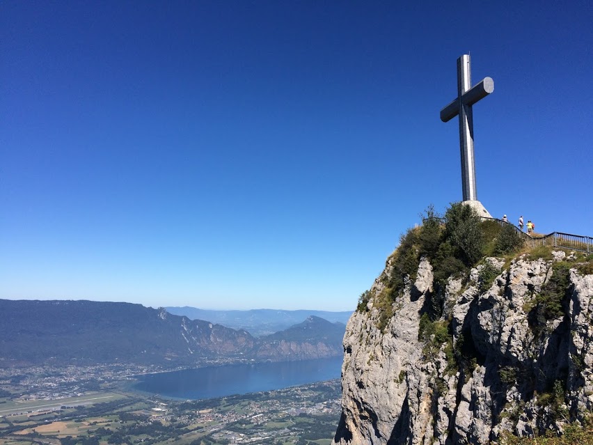
This is a there and back trail, which is the easiest option to access the monumental Nivolet Cross. This overlooks Chambéry and offers a view of the entire Combe de Savoie.

Already more than 200,000 users!
Uphill
221m
Highest point
1544m
Downhill
221m
Lowest point
1405m
Route type
There and back
Download the map on your smartphone to save battery and rest assured to always keep access to the route, even without signal.
Includes IGN France and Swisstopo.
I indicate whether dogs are allowed or prohibited on this trail
Can be difficult in Winter
5 ratings
Also enjoy:

Already more than 200,000 users!