Uphill
612m
Length
6km
Duration
4h
Elev gain
612m
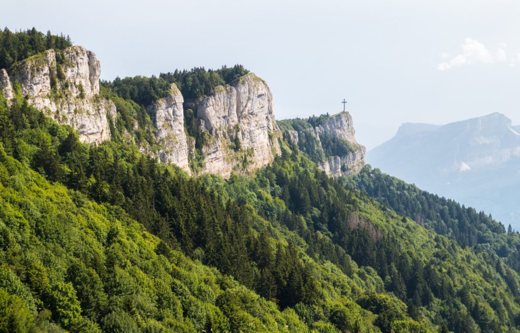
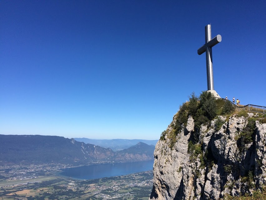
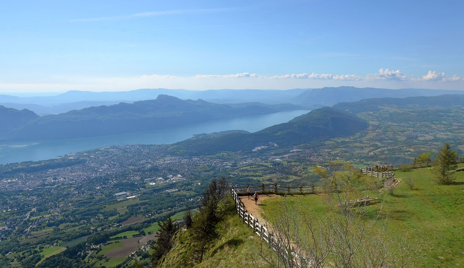
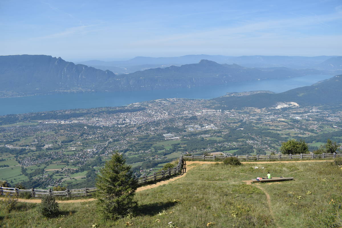
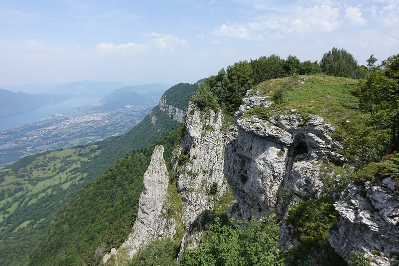
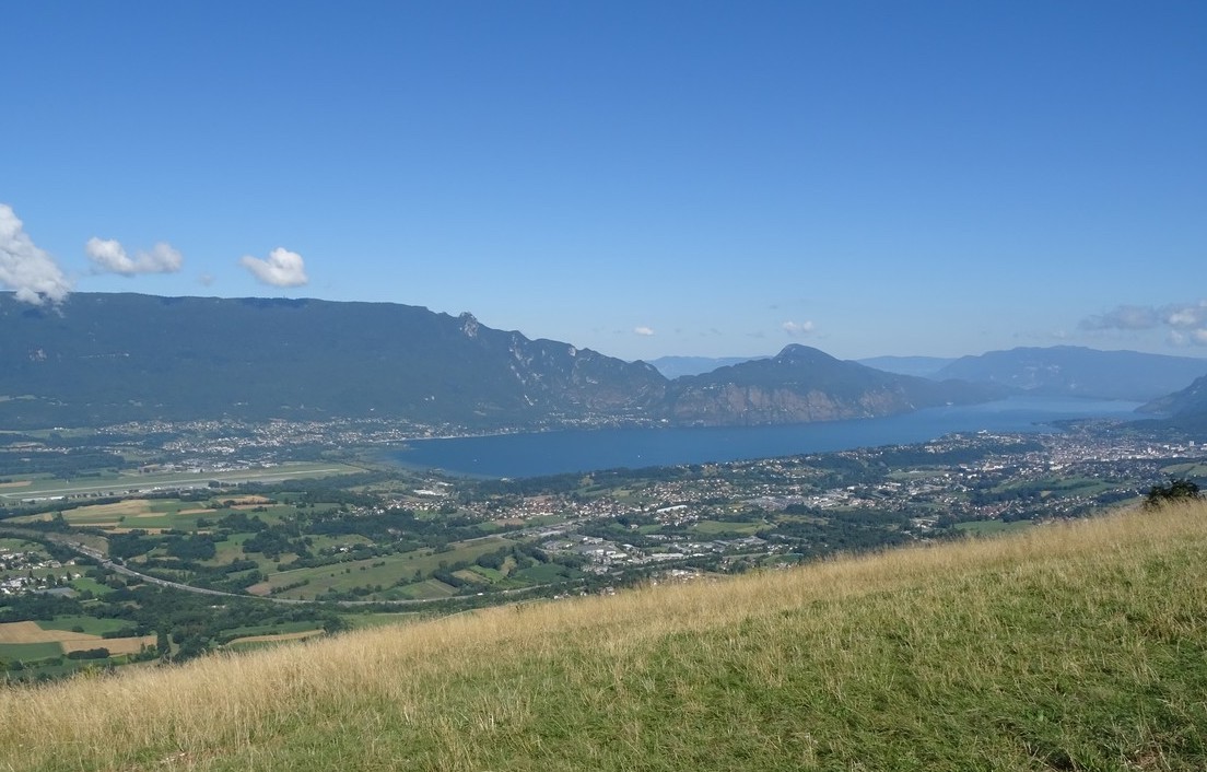
Nice hike with a steep ascent and containing a passage with rope. Once at Malpassant, the view of Lake Bourget is splendid.

Already more than 200,000 users!
Uphill
612m
Highest point
967m
Downhill
612m
Lowest point
362m
Route type
Loop
Download the map on your smartphone to save battery and rest assured to always keep access to the route, even without signal.
Includes IGN France and Swisstopo.
I indicate whether dogs are allowed or prohibited on this trail
Can be difficult in Winter
0 ratings
Also enjoy:

Already more than 200,000 users!