Uphill
1028m
Length
13km
Duration
7h
Elev gain
1028m
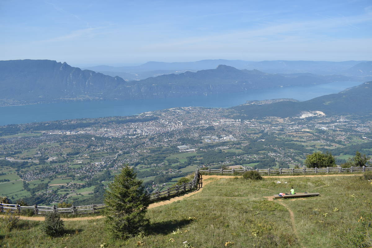
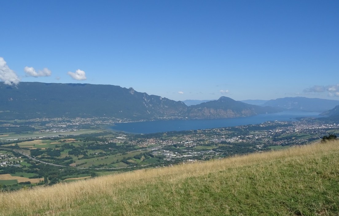
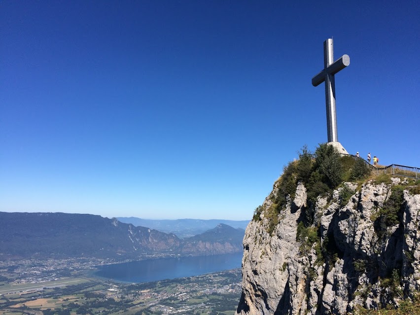
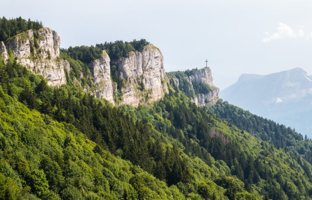
Departing from Mouxy, this trail joins Mont Revard via the Pas du Rebollion. It is a difficult passage, steep and secured by cables, to be avoided in wet weather.
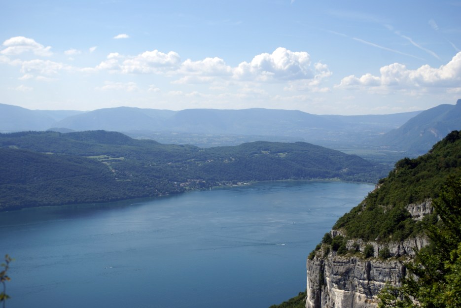
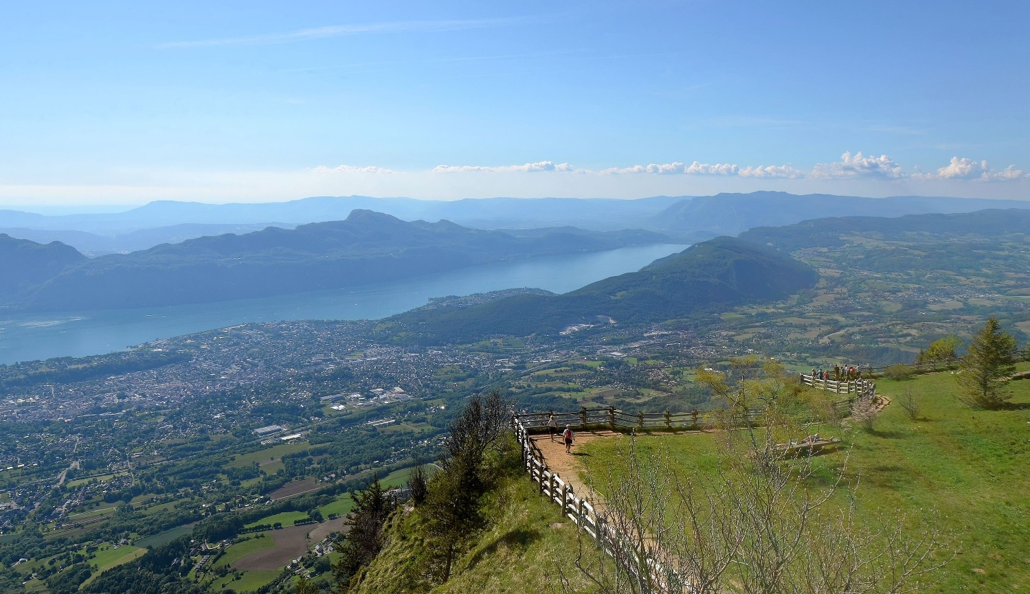
The route continues with a belvedere offering a lovely view of Lake Bourget and the Alps, before descending via the easier Col du Pertuiset.

Already more than 200,000 users!
Uphill
1028m
Highest point
1534m
Downhill
1028m
Lowest point
636m
Route type
Loop
Download the map on your smartphone to save battery and rest assured to always keep access to the route, even without signal.
Includes IGN France and Swisstopo.
I indicate whether dogs are allowed or prohibited on this trail
Can be difficult in Winter
0 ratings
Also enjoy:

Already more than 200,000 users!