Uphill
552m
Length
11km
Duration
4h30min
Elev gain
552m
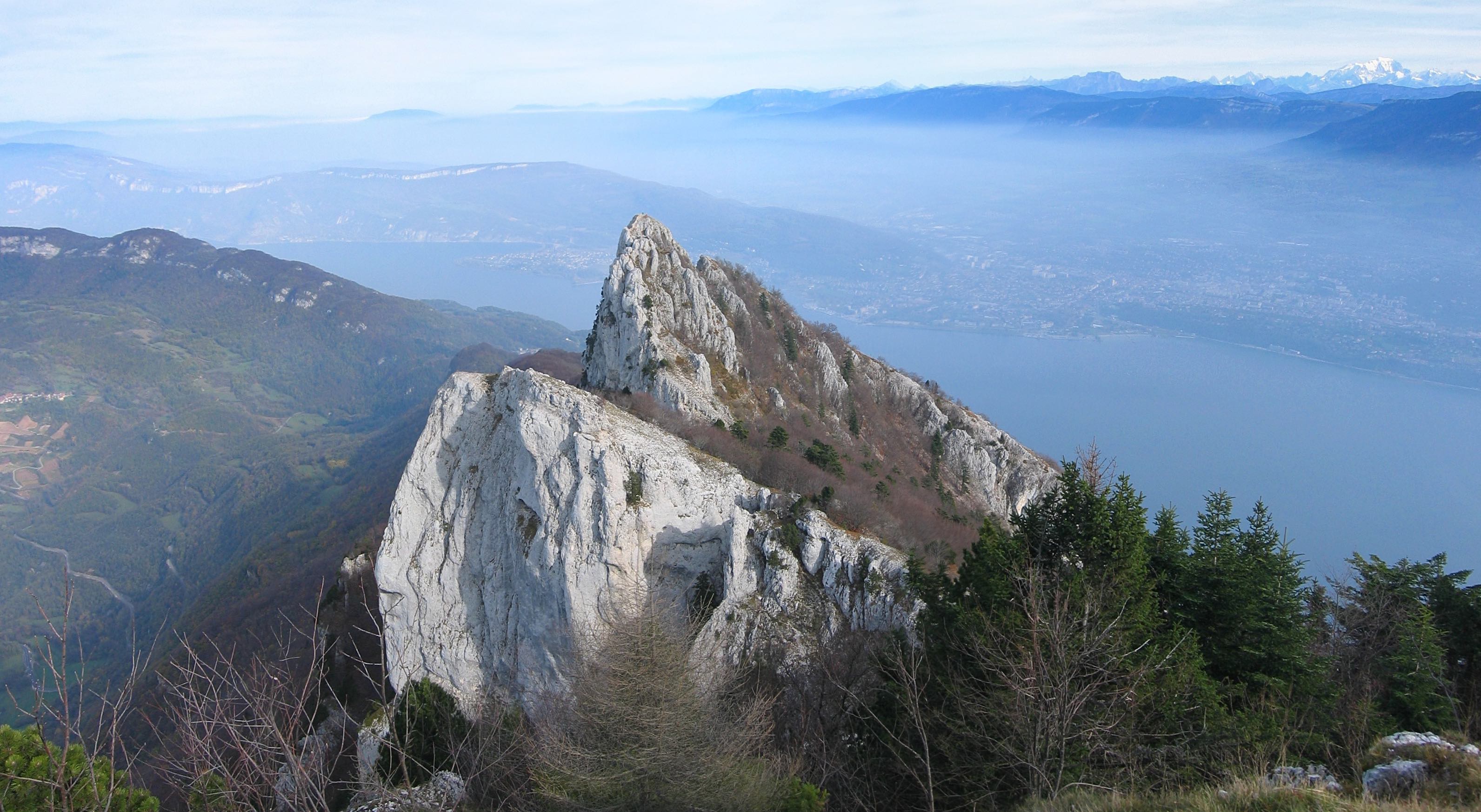
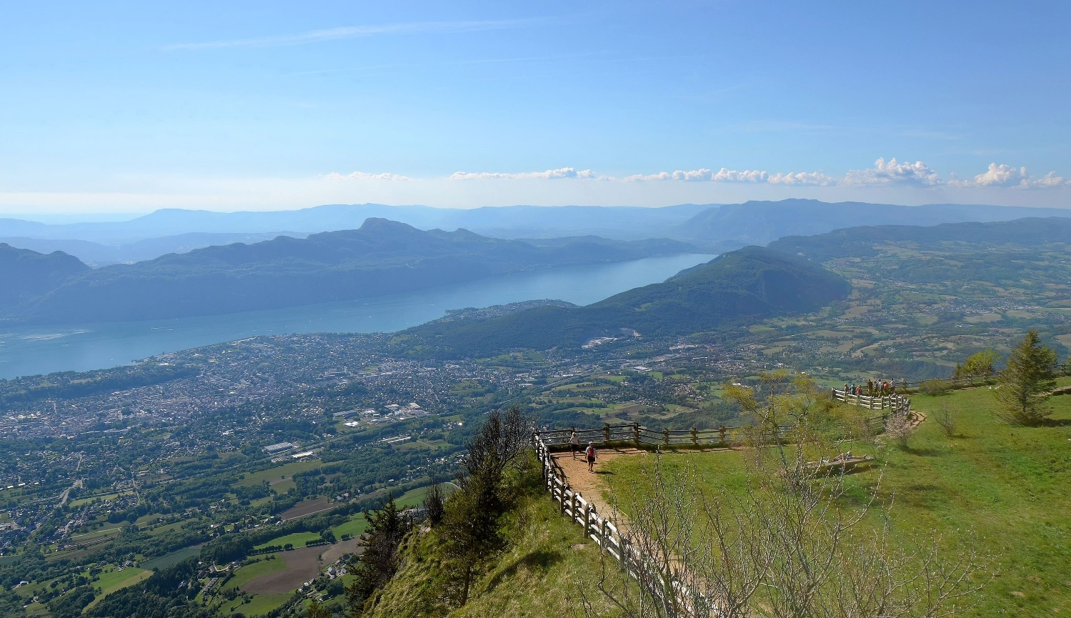
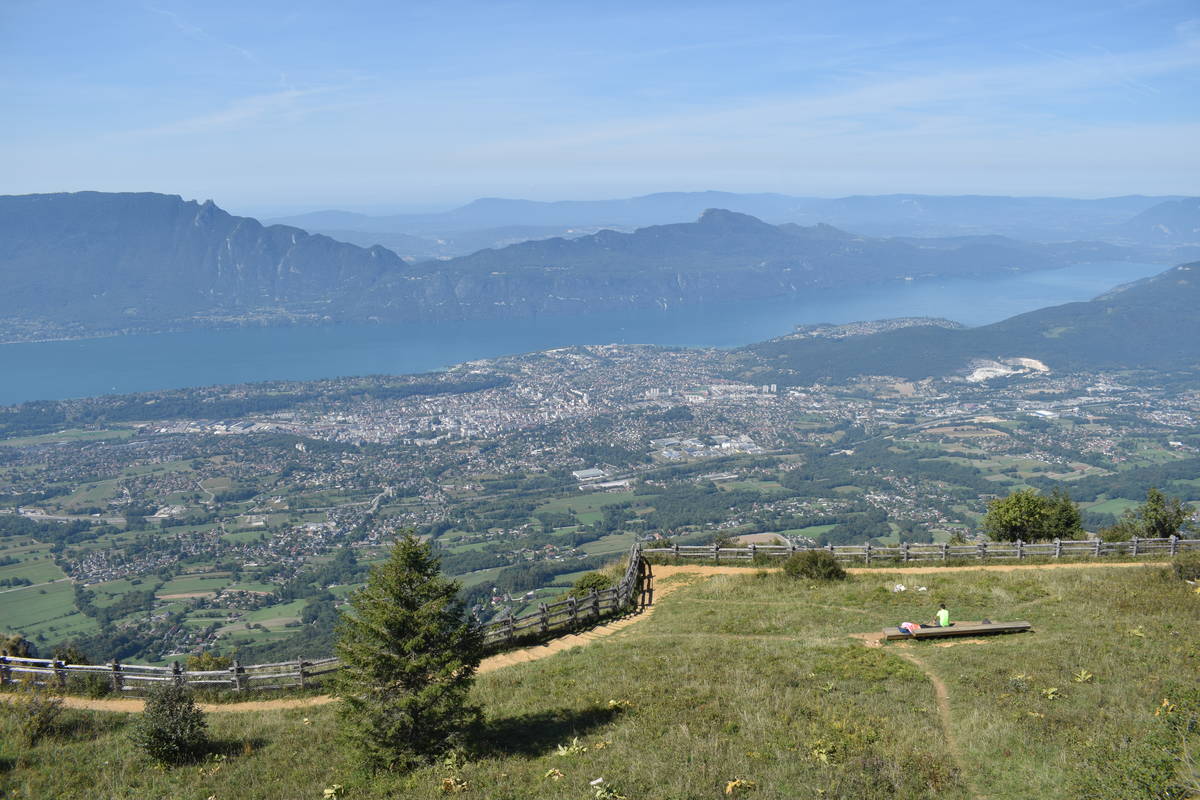
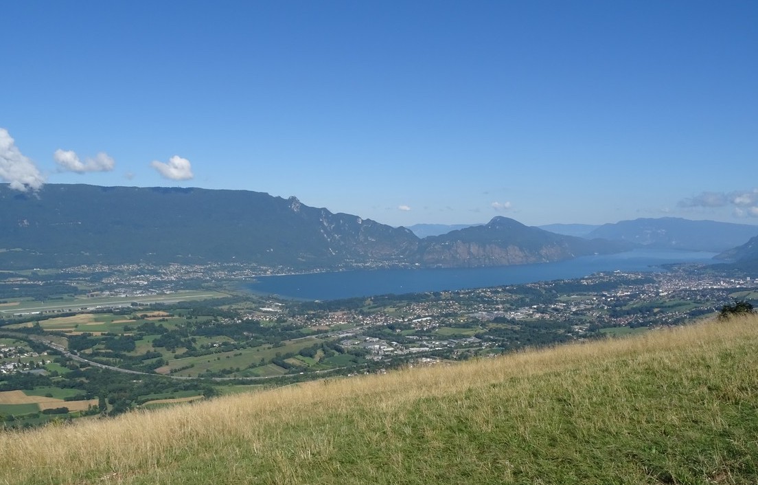
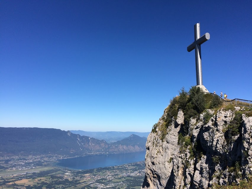
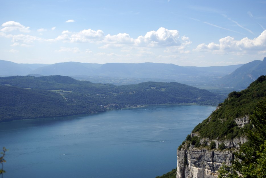
Loop trail in the forest of Corsuet up to the Croix de Meyrieu, which overlooks Aix-les-Bains and Lake Bourget. The trail passes by the Raymond farm, the cave of the Fairies and the Granges de Brison.

Already more than 200,000 users!
Uphill
552m
Highest point
839m
Downhill
552m
Lowest point
311m
Route type
Loop
Download the map on your smartphone to save battery and rest assured to always keep access to the route, even without signal.
Includes IGN France and Swisstopo.
I indicate whether dogs are allowed or prohibited on this trail
All year
4 ratings
Très chouette itinéraire, fait en juillet 2024
Super balade, qui a l’avantage d’être accessible directement depuis Aix-les-Bains. Le sentier est principalement en forêt, avec un panorama pas mal du tout au niveau de la croix de Meyrieu.
Also enjoy:

Already more than 200,000 users!