Uphill
763m
Length
7km
Duration
5h
Elev gain
763m
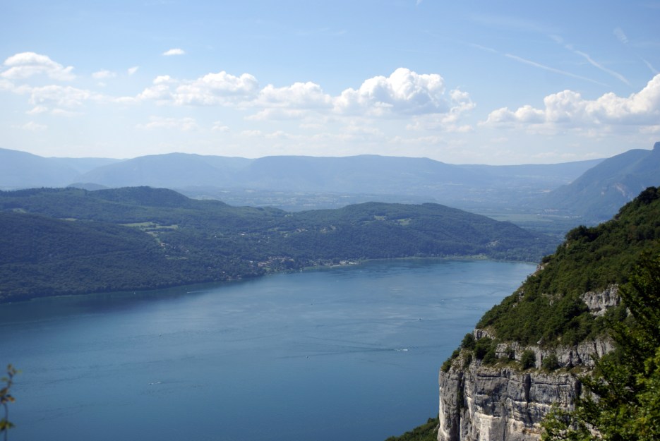
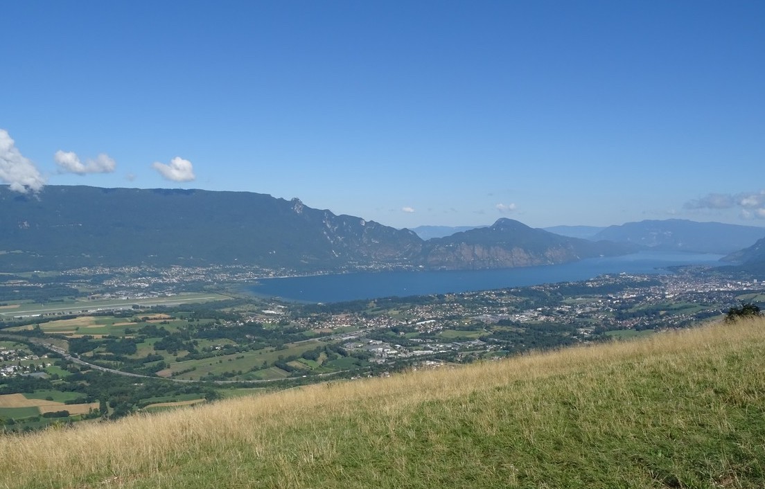
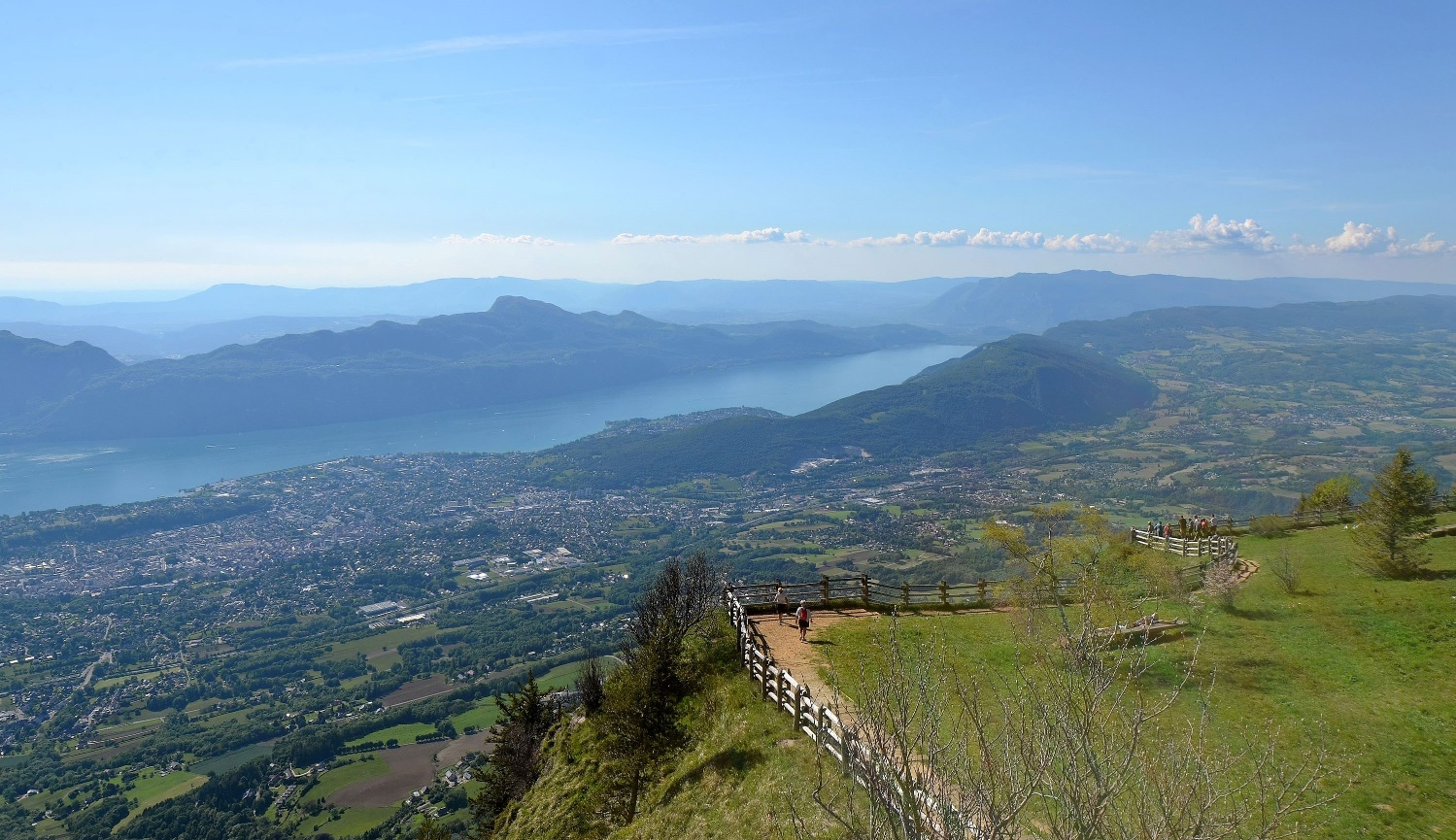
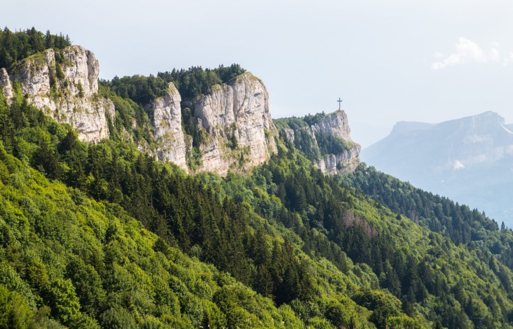
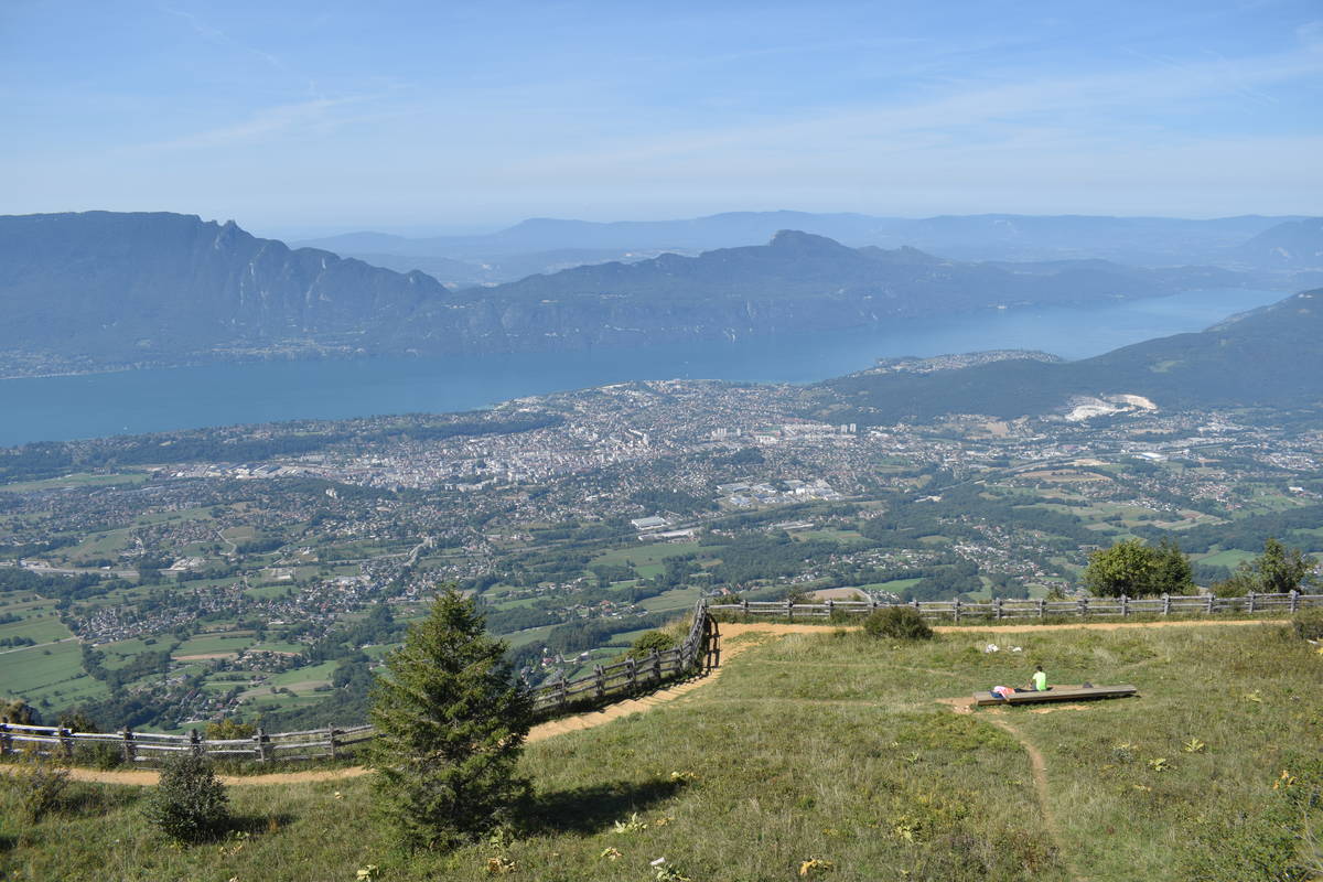
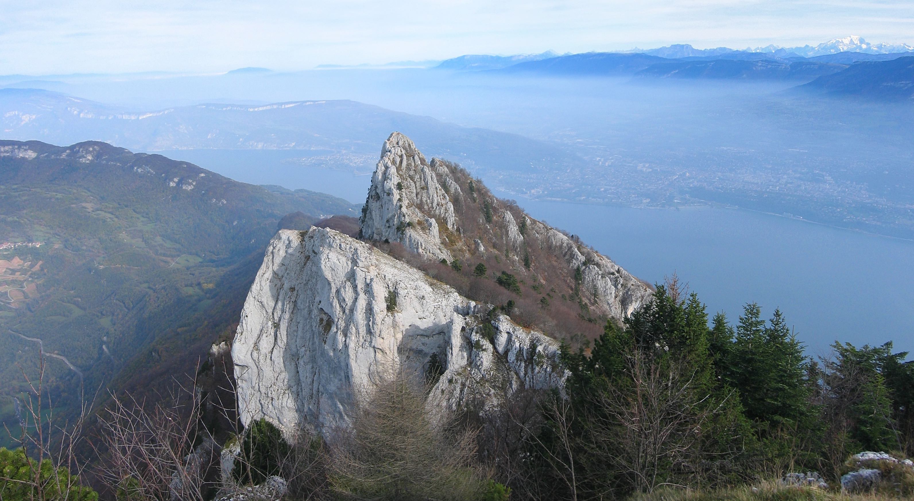
Rather steep ascent, rewarded by beautiful panoramas of Lake Bourget and the Alps. To avoid by people who fear heights: some portions are equipped with ladders and cables.

Already more than 200,000 users!
Uphill
763m
Highest point
1348m
Downhill
763m
Lowest point
647m
Route type
Loop
Download the map on your smartphone to save battery and rest assured to always keep access to the route, even without signal.
Includes IGN France and Swisstopo.
I indicate whether dogs are allowed or prohibited on this trail
Can be difficult in Winter
3 ratings
Also enjoy:

Already more than 200,000 users!