Uphill
411m
Length
10km
Duration
3h30min
Elev gain
411m
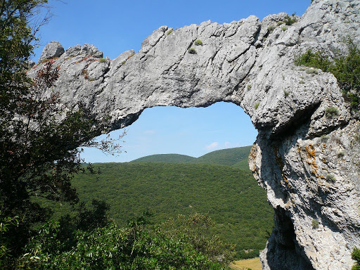
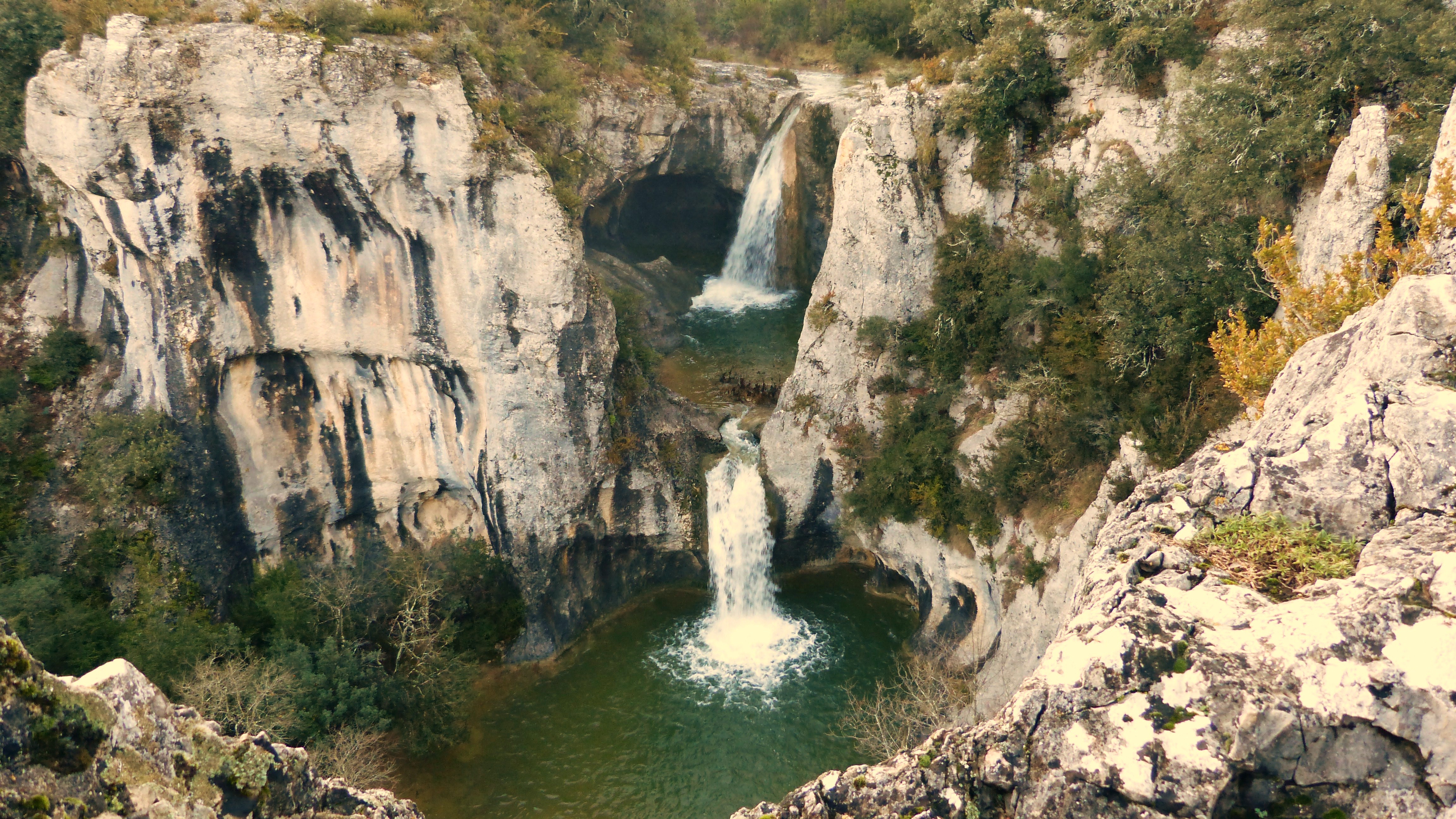
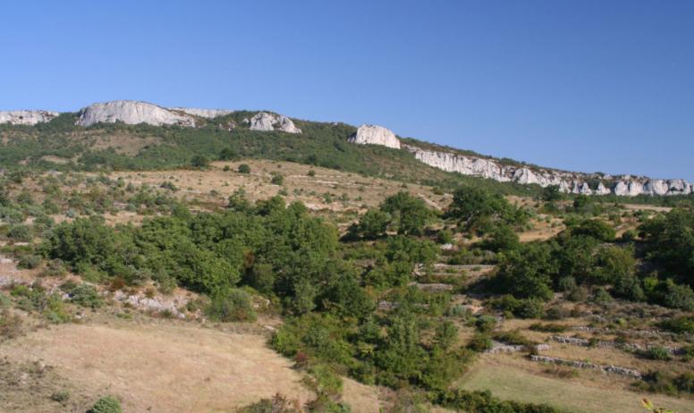
Ascent of the highest point of Basse Ardèche (726 m), for a superb panorama of the surroundings. First hundreds of meters are on the road.

Already more than 200,000 users!
Uphill
411m
Highest point
721m
Downhill
411m
Lowest point
334m
Route type
Loop
Download the map on your smartphone to save battery and rest assured to always keep access to the route, even without signal.
Includes IGN France and Swisstopo.
I indicate whether dogs are allowed or prohibited on this trail
All year
0 ratings
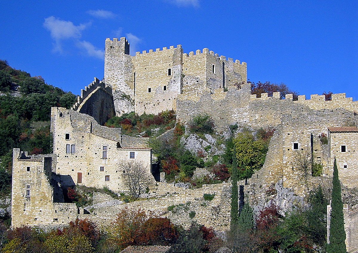
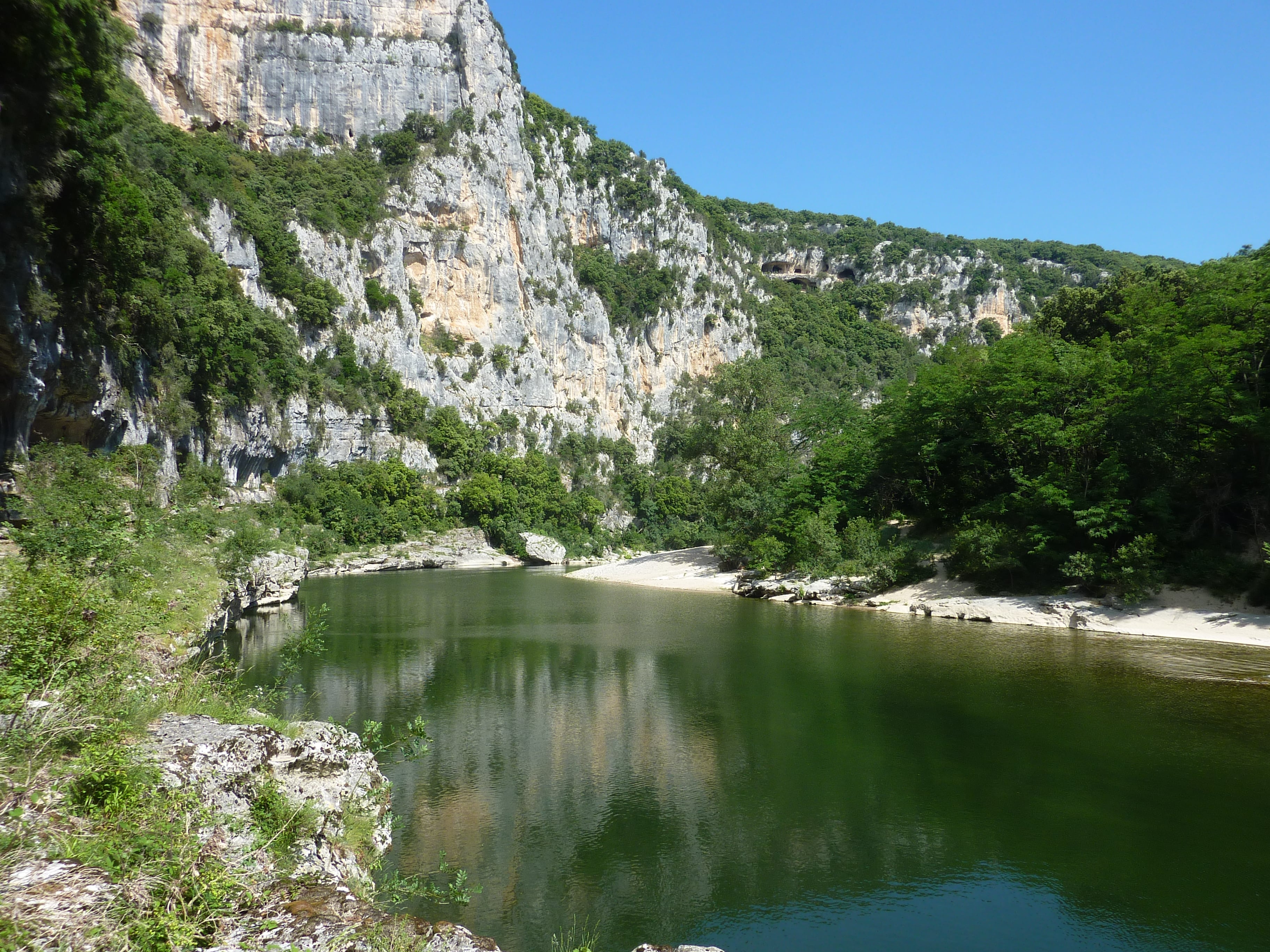
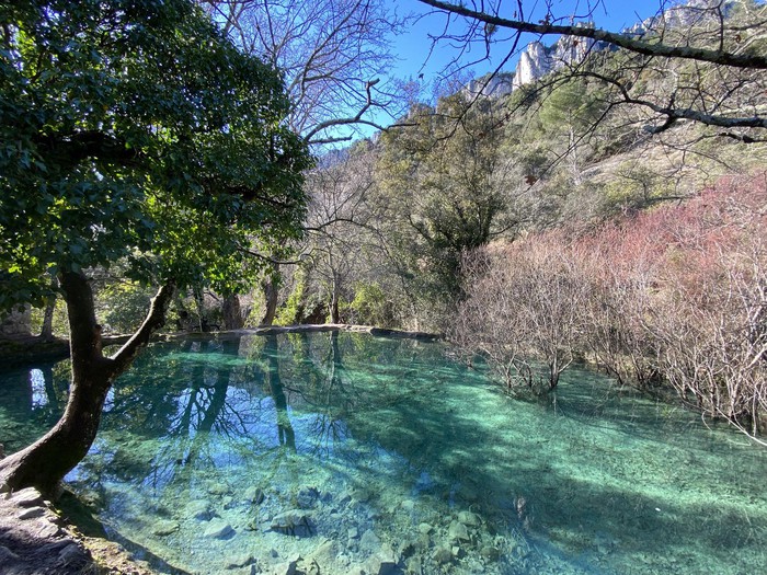
Also enjoy:

Already more than 200,000 users!