Uphill
163m
Length
5km
Duration
1h30min
Elev gain
163m
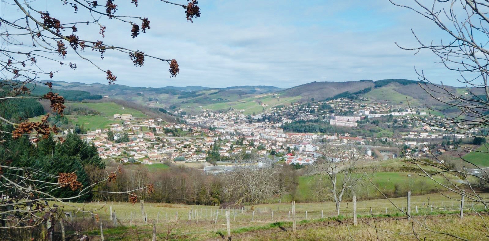
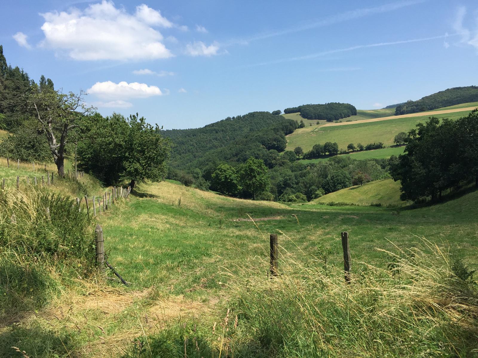
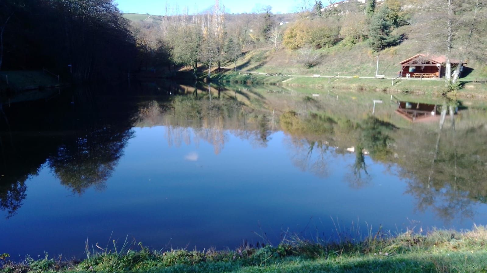
Departing from the village of Saint-Marcel-l'Éclairé, near Tarare, this walk takes place on the heights of the town. The route passes through a wood, fields, a small lake, and the church of Saint-Marcel.
Note that a picnic area is located near the lake, ideal for a snack break.

Already more than 200,000 users!
Uphill
163m
Highest point
702m
Downhill
163m
Lowest point
547m
Route type
Loop
Download the map on your smartphone to save battery and rest assured to always keep access to the route, even without signal.
Includes IGN France and Swisstopo.
I indicate whether dogs are allowed or prohibited on this trail
All year
3 ratings
Also enjoy:

Already more than 200,000 users!