Uphill
525m
France > Auvergne-Rhône-Alpes > Rhône
Length
13km
Duration
4h30min
Elev gain
525m
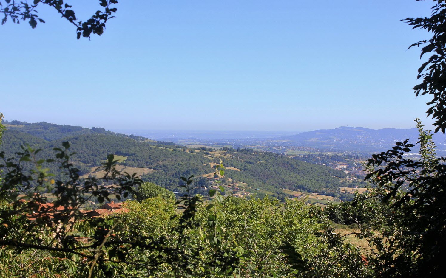
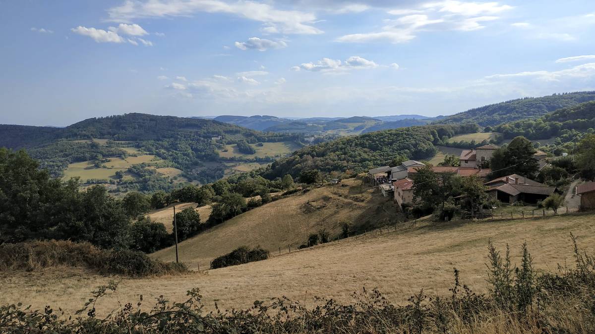
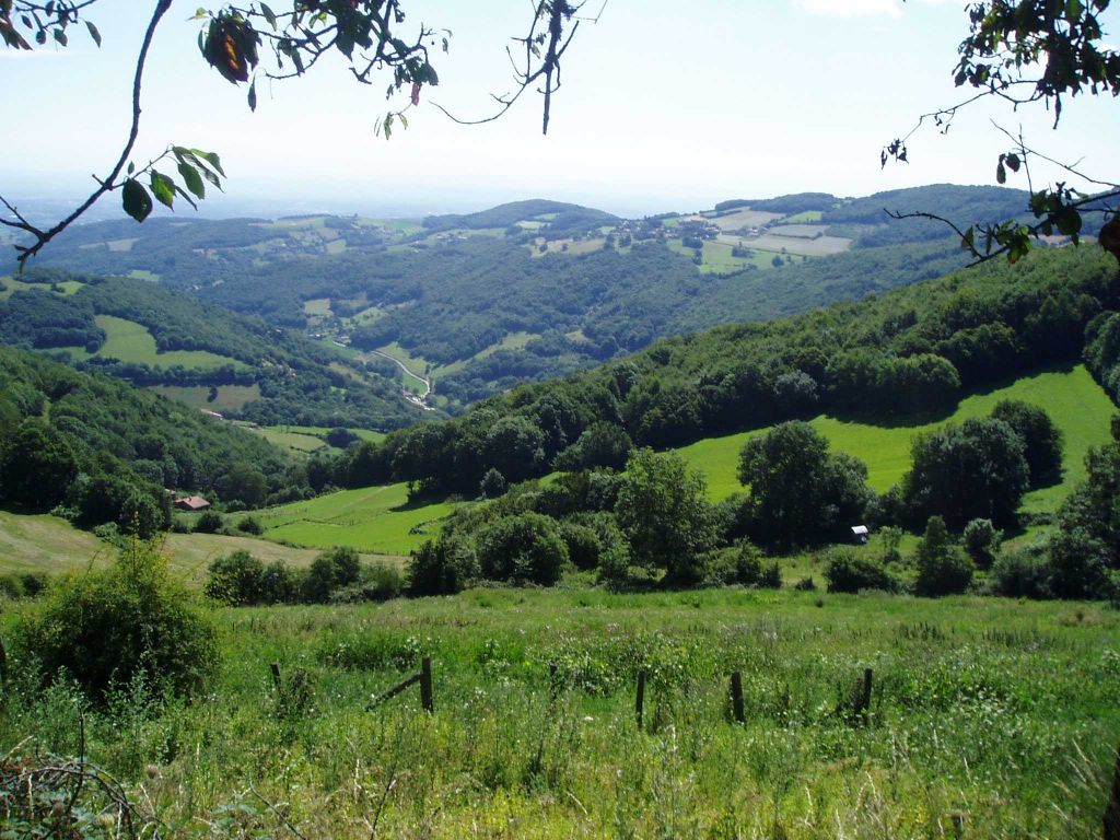
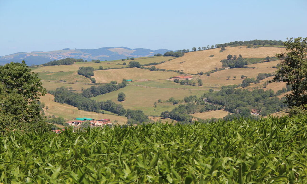
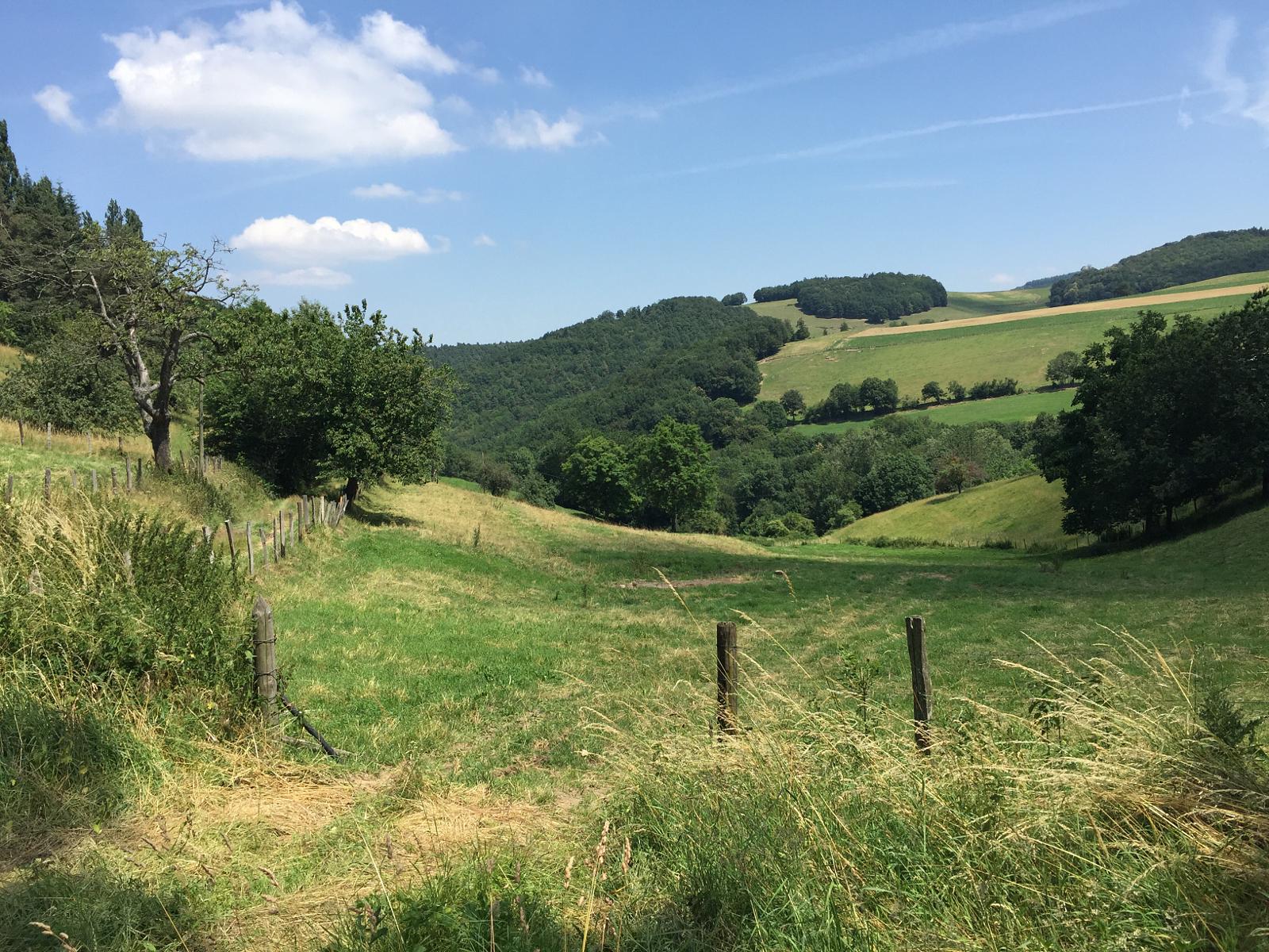
Departing from Duerne, this hike reveals the beauty and variety of the Monts du Lyonnais landscapes, with several appreciable points of view.
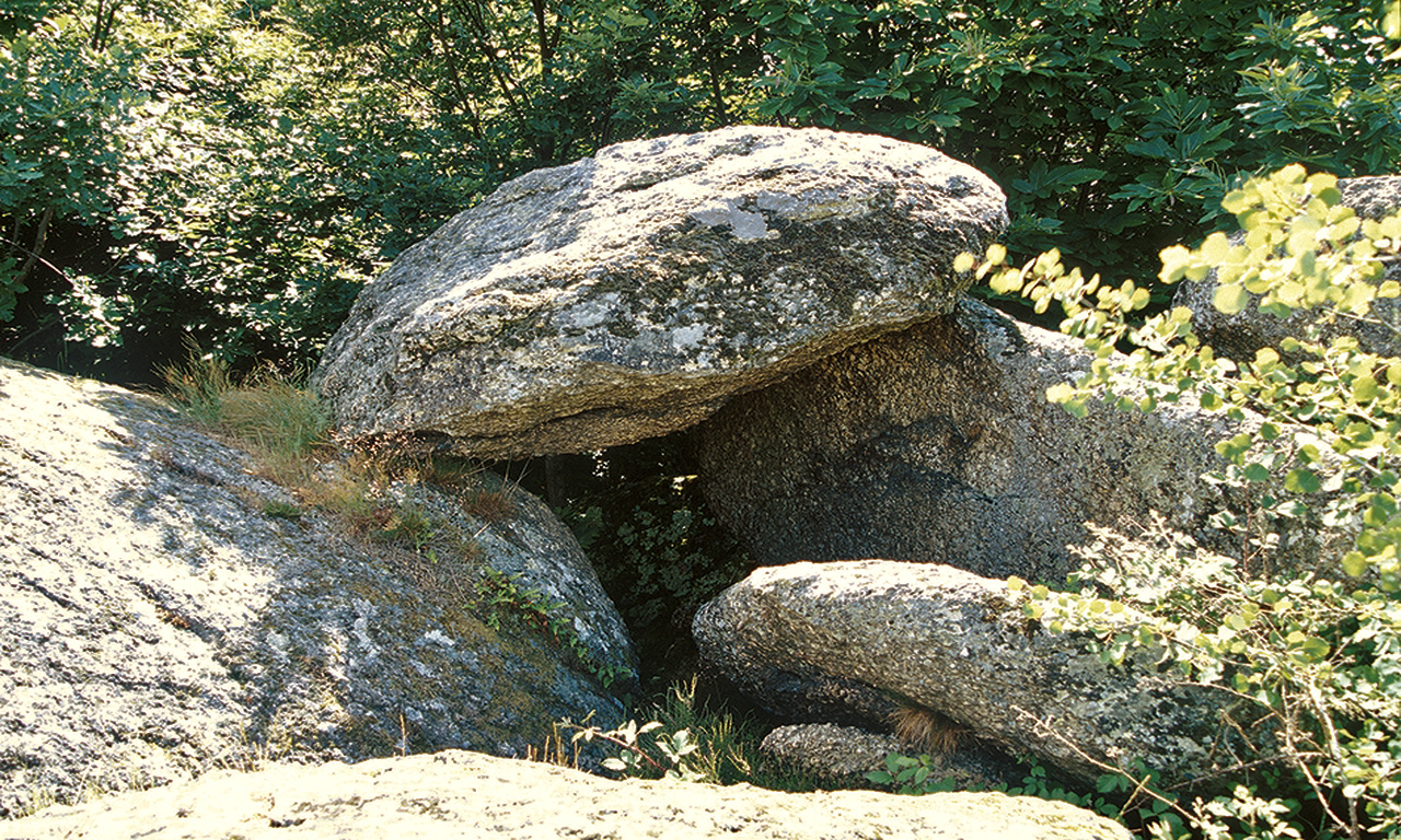
Remains of the Roman aqueduct of Brévenne are also found on the way.

Already more than 200,000 users!
Uphill
525m
Highest point
920m
Downhill
525m
Lowest point
597m
Route type
Loop
Download the map on your smartphone to save battery and rest assured to always keep access to the route, even without signal.
Includes IGN France and Swisstopo.
I indicate whether dogs are allowed or prohibited on this trail
Can be difficult in Winter
2 ratings
Quelques passages raides et glissants par temps humide.
Also enjoy:

Already more than 200,000 users!