Uphill
263m
Length
7km
Duration
2h30min
Elev gain
263m
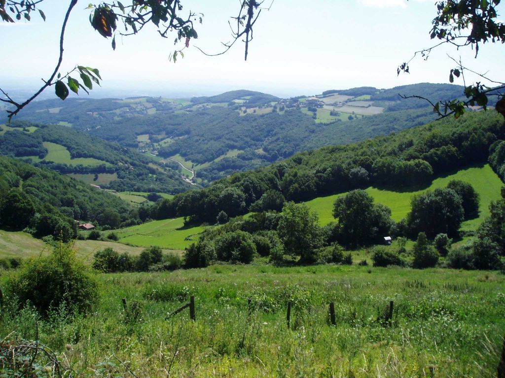
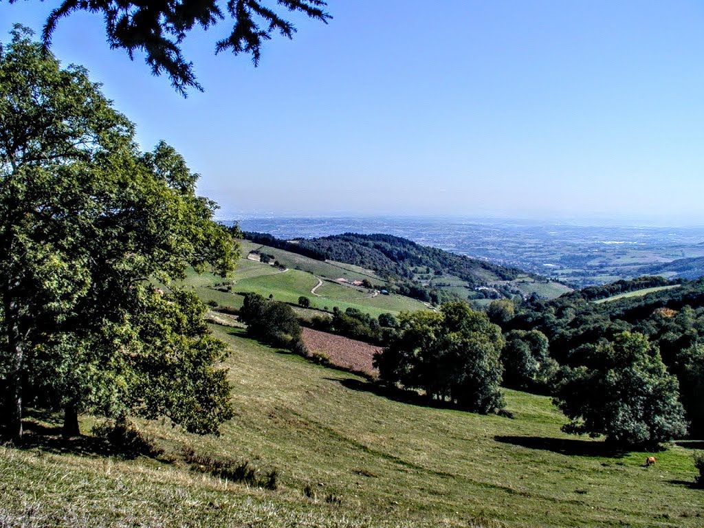
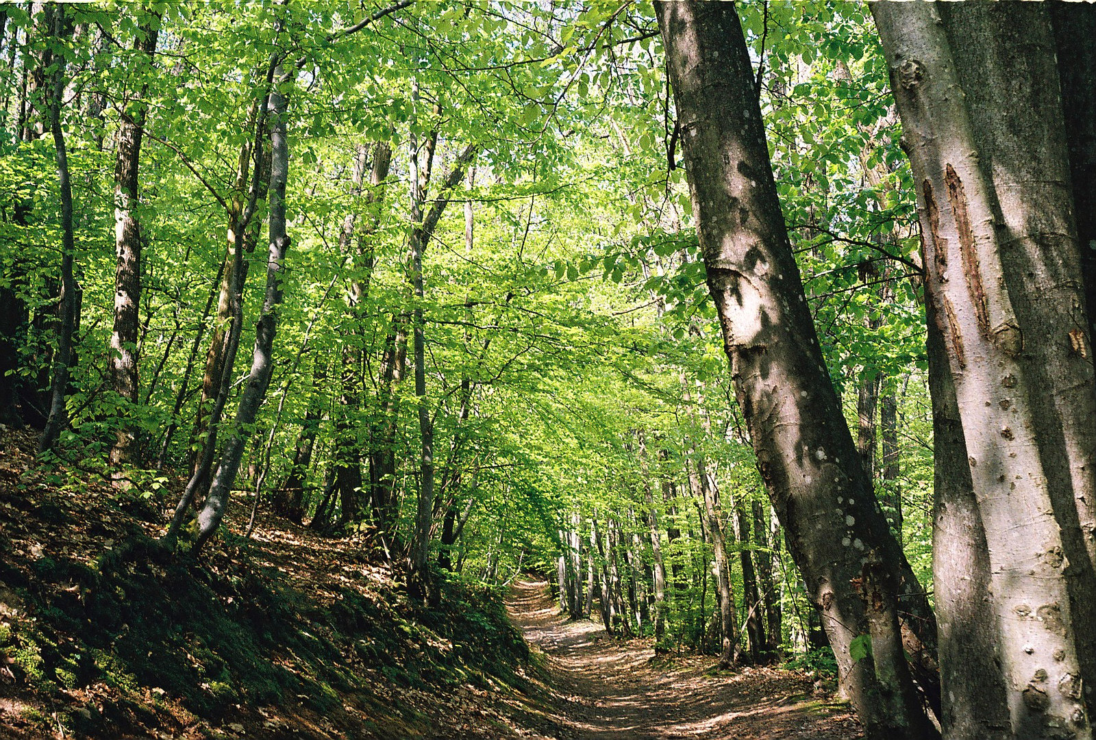
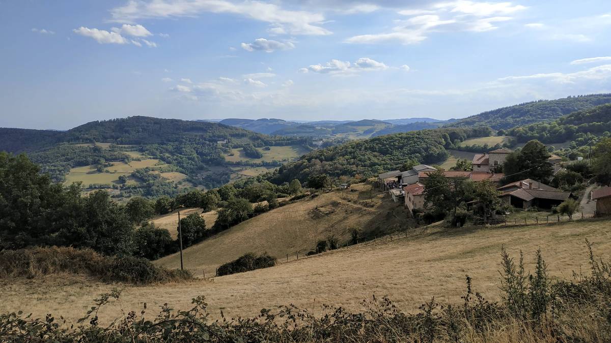
Starting from the Château de Saint-Bonnet, this path winds through the forest to the hamlet of Les Jumeaux, passing through the Col de Malval.

Already more than 200,000 users!
Uphill
263m
Highest point
837m
Downhill
263m
Lowest point
706m
Route type
Loop
Download the map on your smartphone to save battery and rest assured to always keep access to the route, even without signal.
Includes IGN France and Swisstopo.
I indicate whether dogs are allowed or prohibited on this trail
All year
3 ratings
Also enjoy:

Already more than 200,000 users!