Uphill
420m
Length
14km
Duration
4h30min
Elev gain
420m
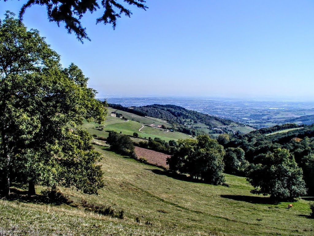
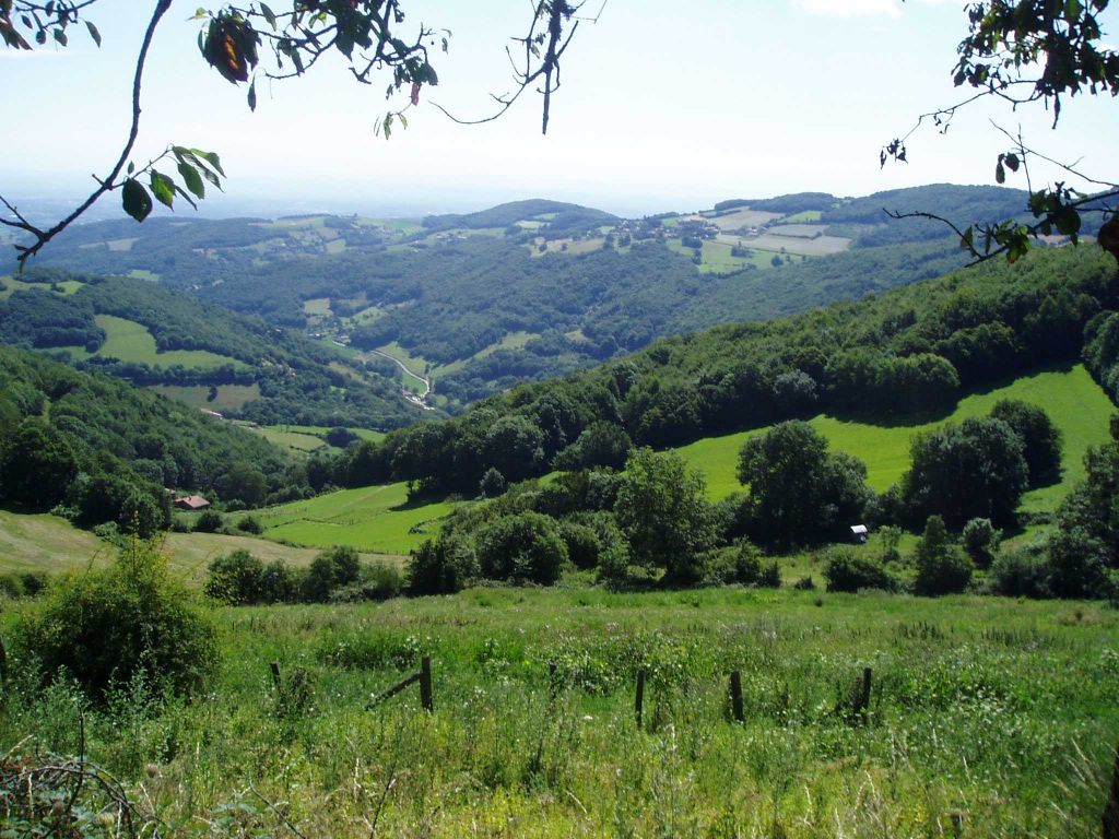
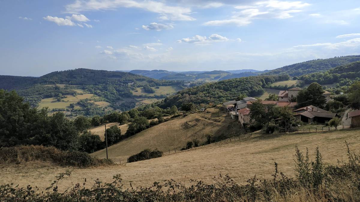
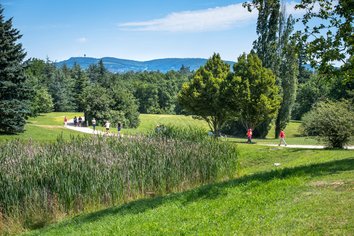
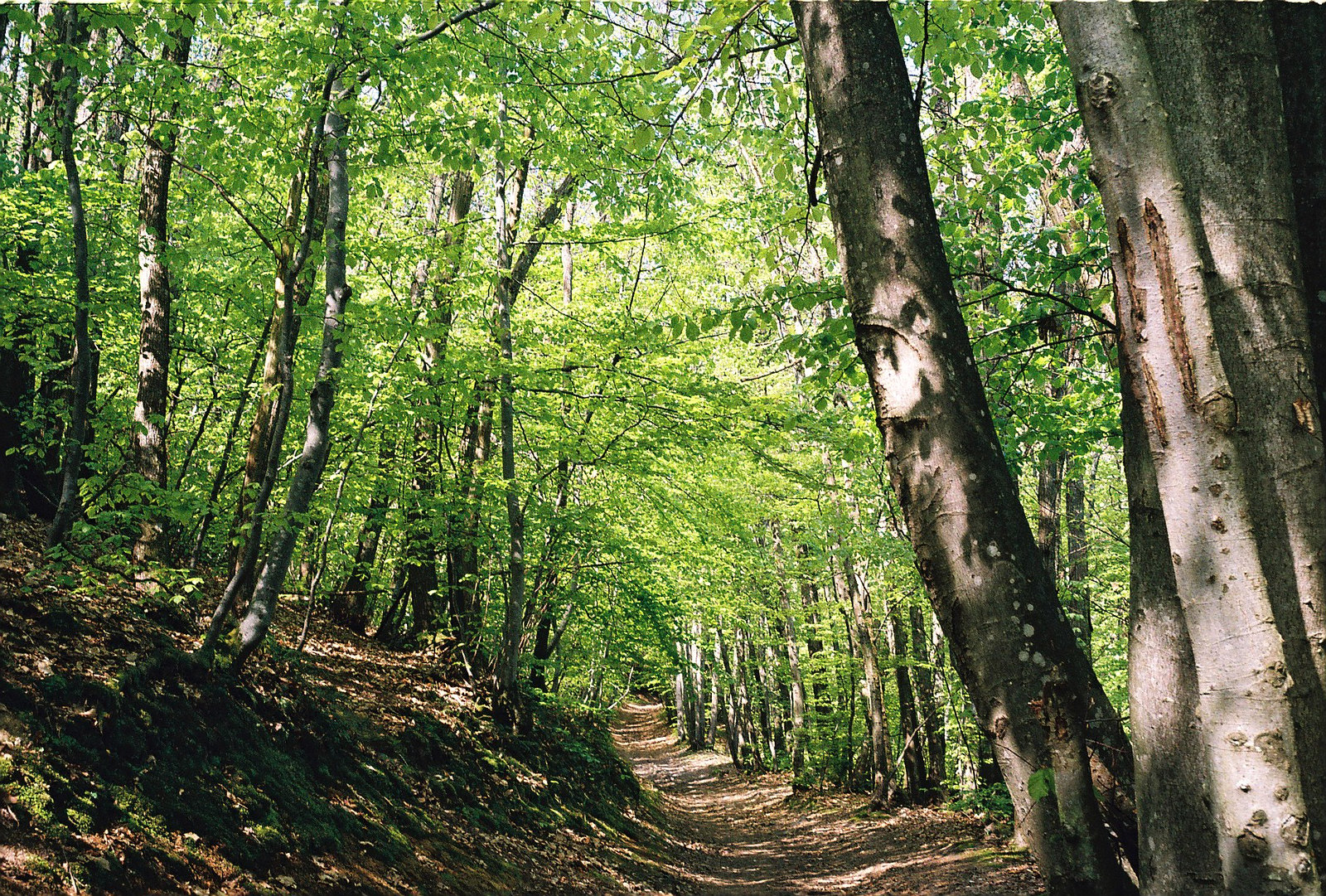
Departing from Pollionnay, here is a circuit taking paths to discover the surrounding countryside, before getting into the forest on smaller paths.

Already more than 200,000 users!
Uphill
420m
Highest point
648m
Downhill
420m
Lowest point
332m
Route type
Loop
Download the map on your smartphone to save battery and rest assured to always keep access to the route, even without signal.
Includes IGN France and Swisstopo.
I indicate whether dogs are allowed or prohibited on this trail
All year
0 ratings
Also enjoy:

Already more than 200,000 users!