Uphill
608m
Length
13km
Duration
5h
Elev gain
608m
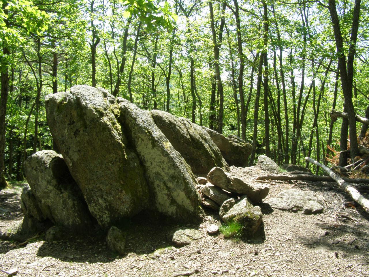
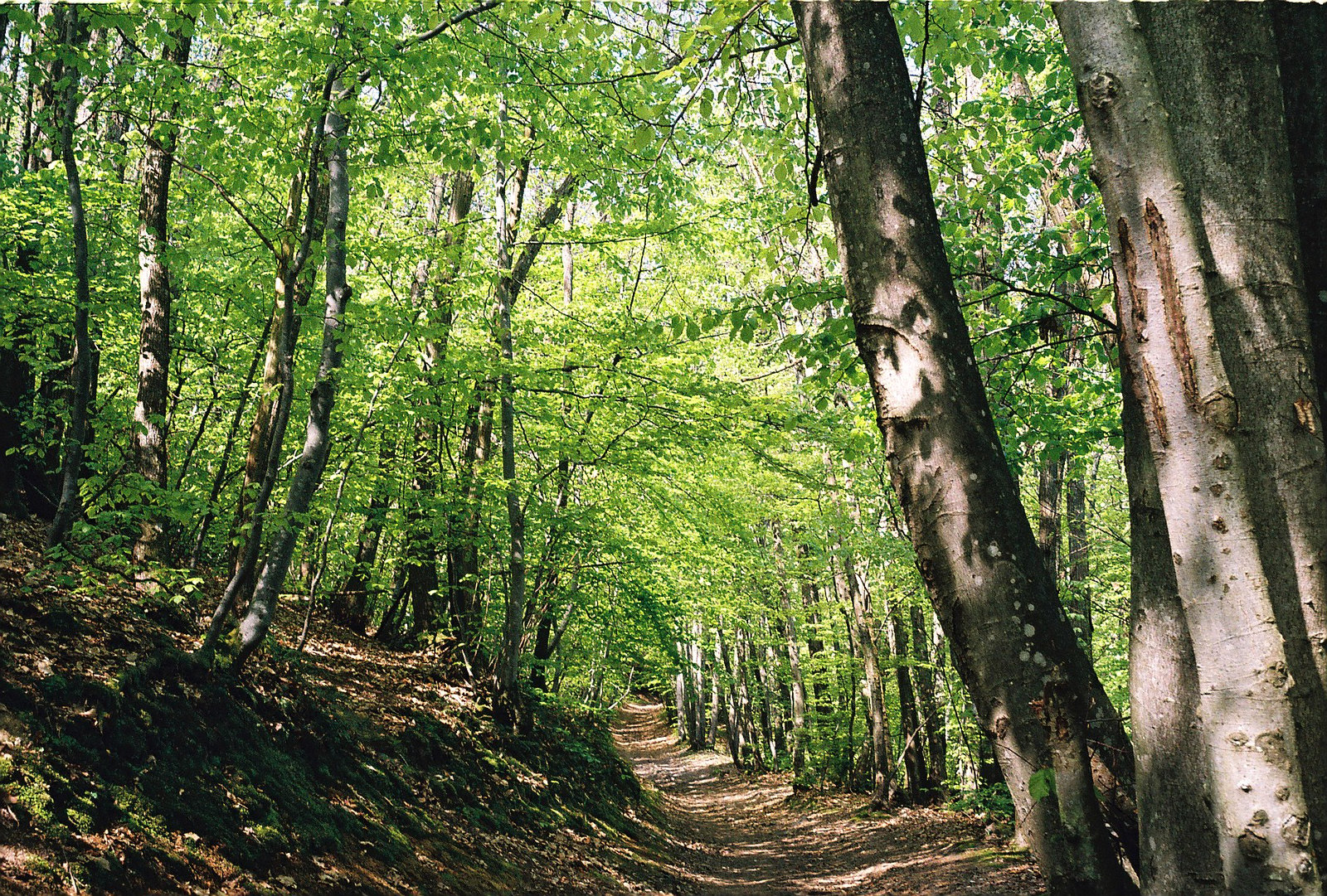
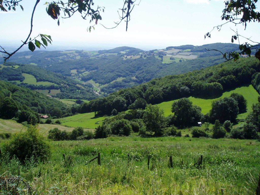
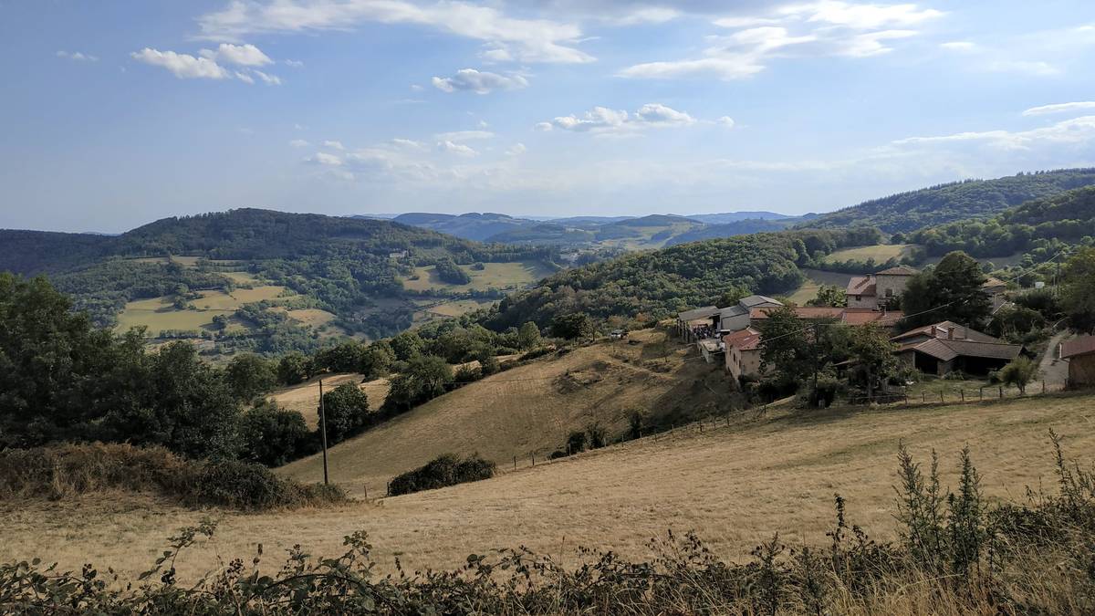
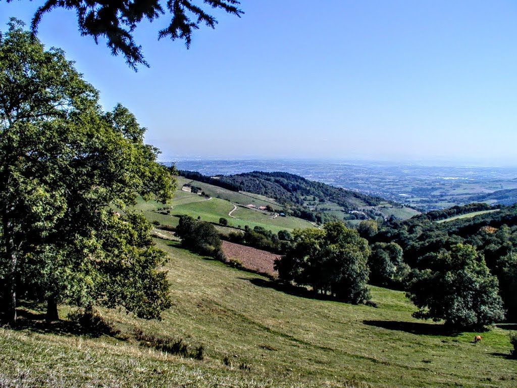
Departing from Pollionay, this loop trail goes around the northern part of the Monts du Lyonnais, avoiding the more classic paths that can be frequented. The route notably passes through the Col de la Luère.

Already more than 200,000 users!
Uphill
608m
Highest point
740m
Downhill
608m
Lowest point
447m
Route type
Loop
Download the map on your smartphone to save battery and rest assured to always keep access to the route, even without signal.
Includes IGN France and Swisstopo.
I indicate whether dogs are allowed or prohibited on this trail
All year
1 rating
Also enjoy:

Already more than 200,000 users!