Uphill
585m
Length
15km
Duration
5h30min
Elev gain
585m
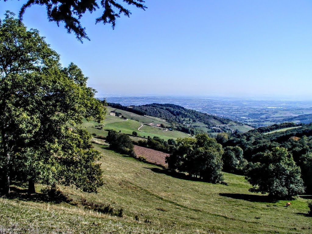
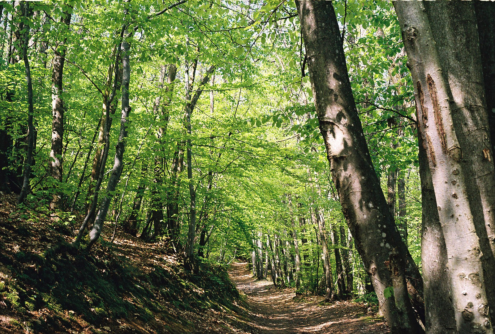
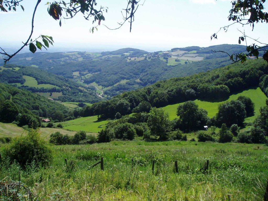
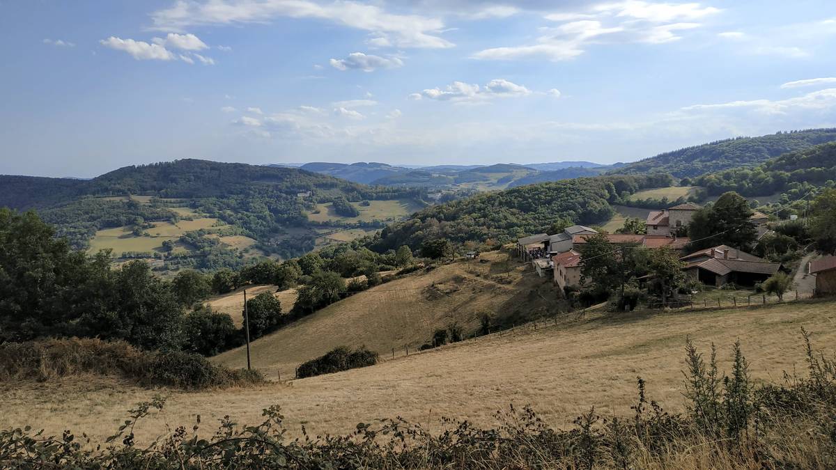
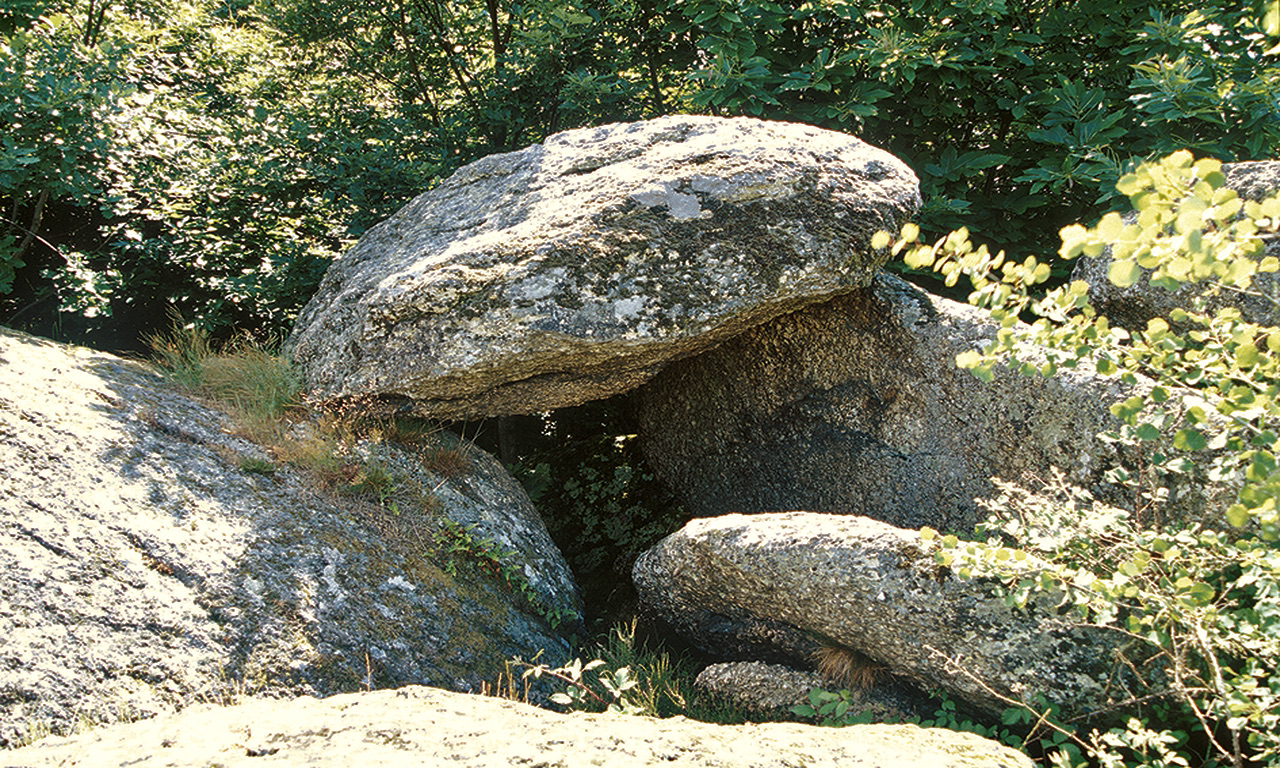
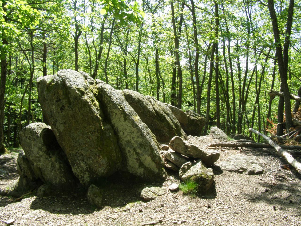
Departing from Pollionnay, this trail goes through the Luère and Malval passes, then Crêt Chevreau. Mainly in the forest with a few points of view.

Already more than 200,000 users!
Uphill
585m
Highest point
877m
Downhill
585m
Lowest point
480m
Route type
Loop
Download the map on your smartphone to save battery and rest assured to always keep access to the route, even without signal.
Includes IGN France and Swisstopo.
I indicate whether dogs are allowed or prohibited on this trail
All year
0 ratings
Also enjoy:

Already more than 200,000 users!