Uphill
239m
Length
5km
Duration
2h
Elev gain
239m
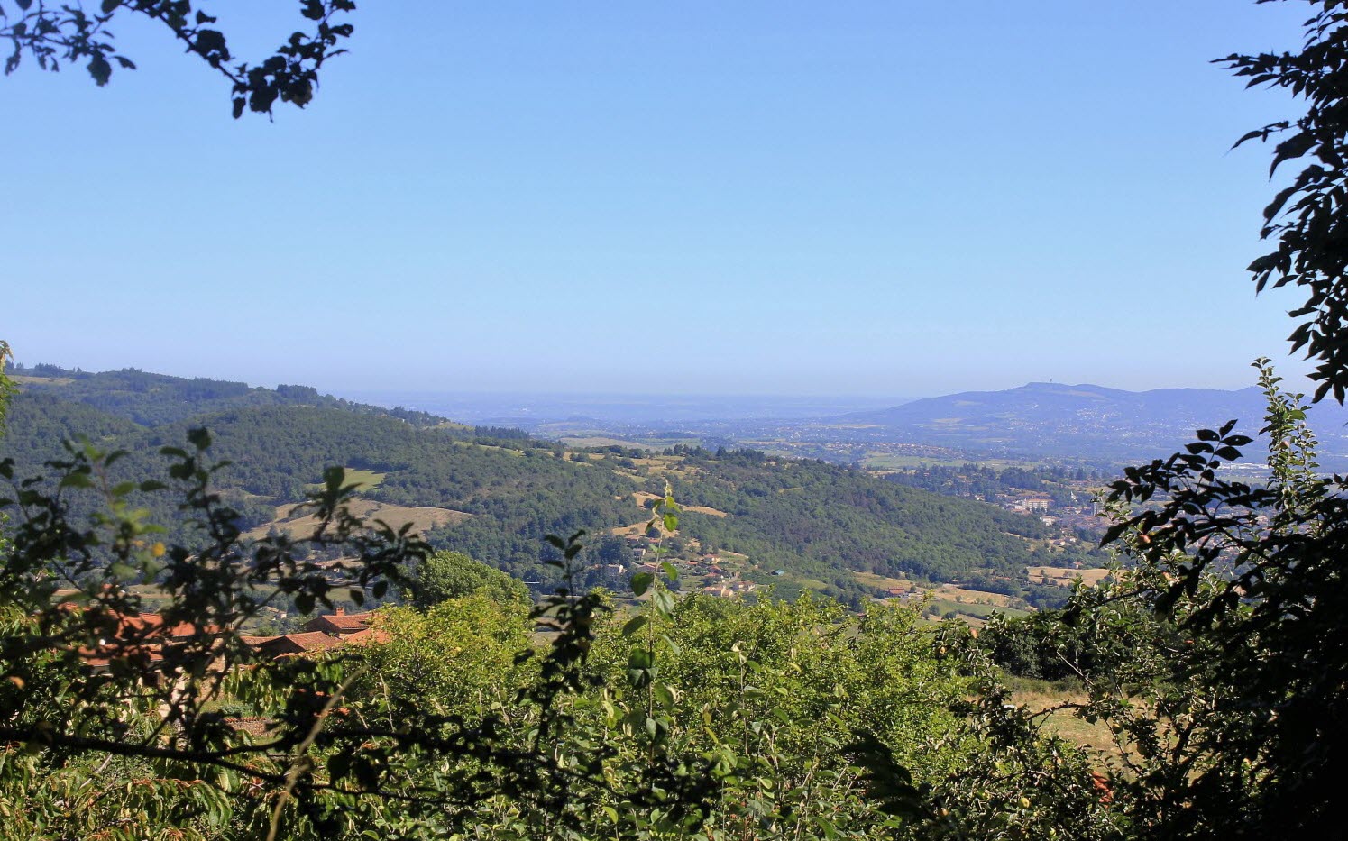
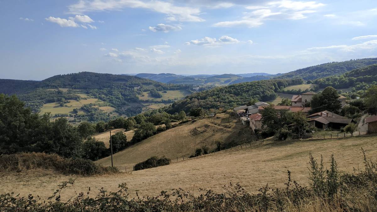
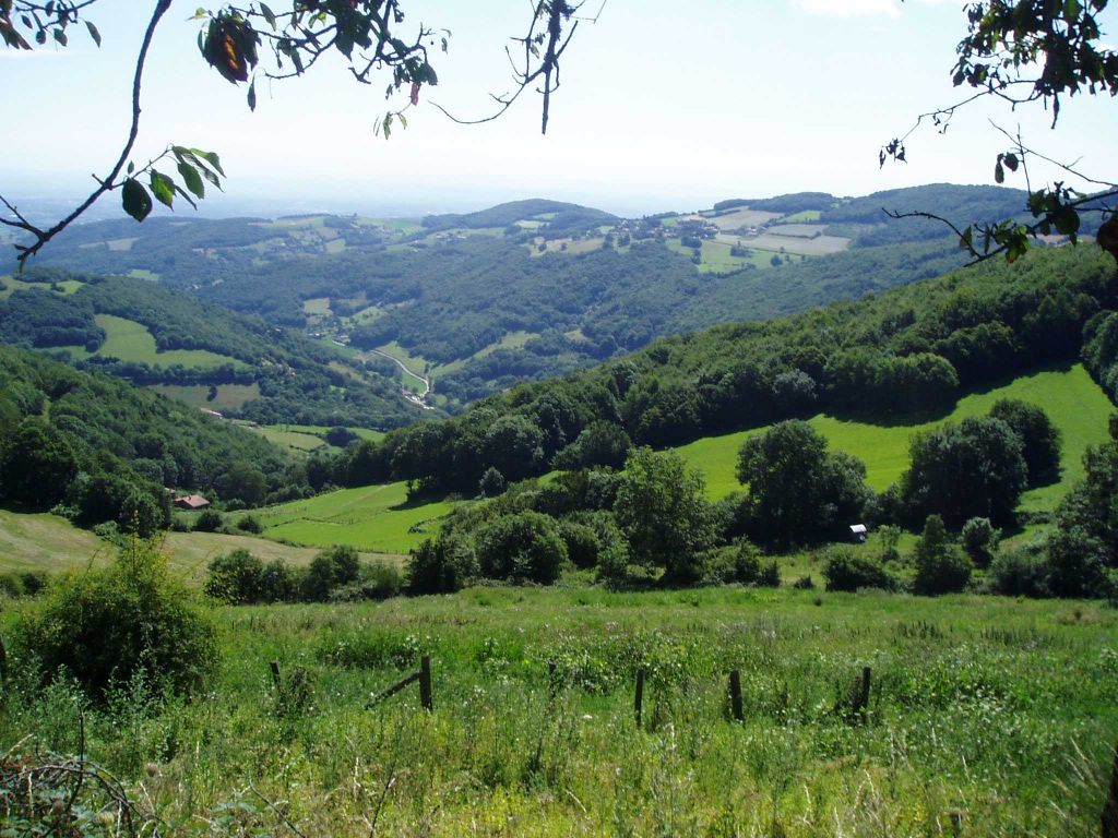
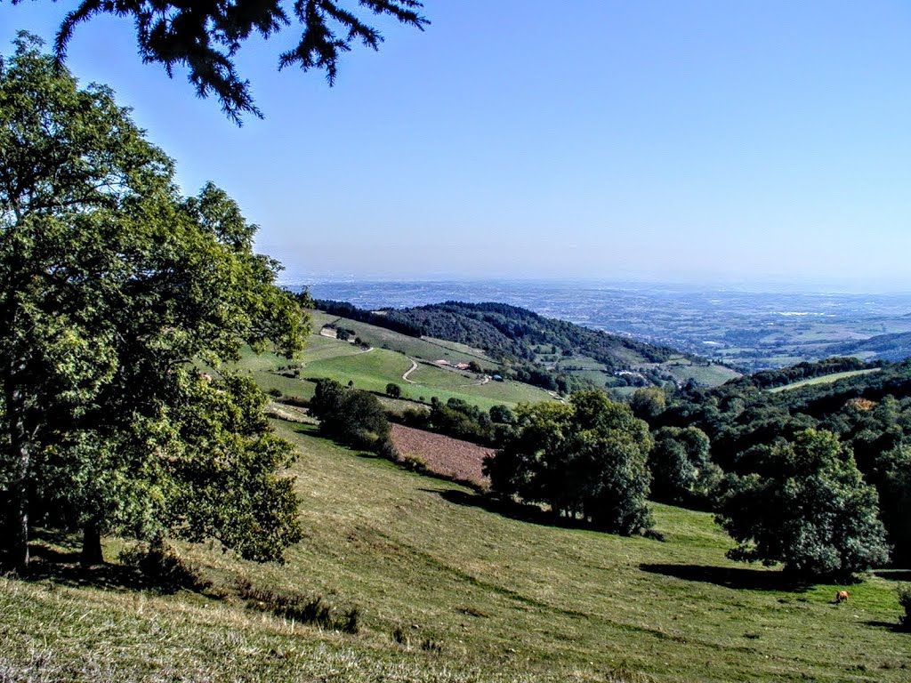
Trail offering a nice panorama of the surrounding mountains as well as Lyon and the Rhône valley.
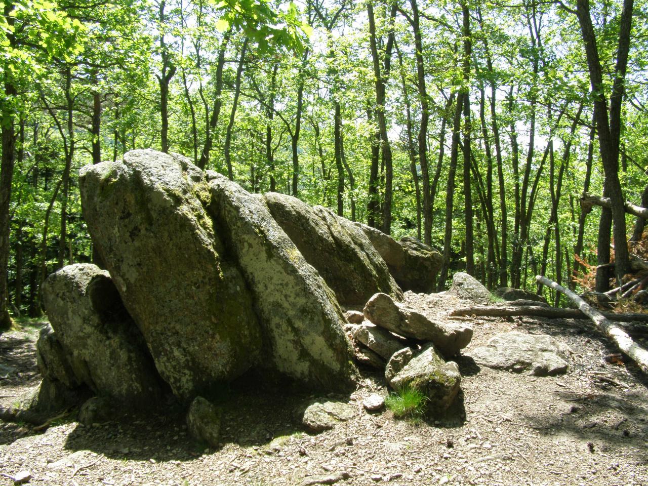
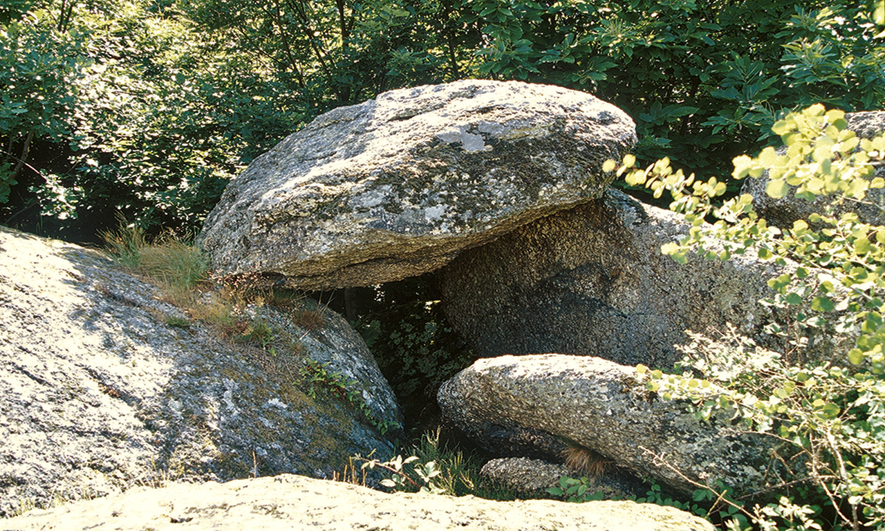
Many rocks are also present on the path, including the Roche des Fées dolmen (or Châteauvieux dolmen).

Already more than 200,000 users!
Uphill
239m
Highest point
674m
Downhill
239m
Lowest point
448m
Route type
Loop
Download the map on your smartphone to save battery and rest assured to always keep access to the route, even without signal.
Includes IGN France and Swisstopo.
I indicate whether dogs are allowed or prohibited on this trail
All year
2 ratings
Also enjoy:

Already more than 200,000 users!