Uphill
450m
Length
10km
Duration
4h
Elev gain
450m
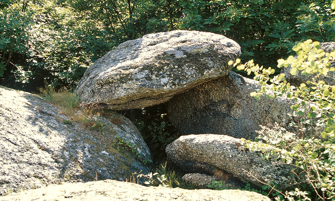
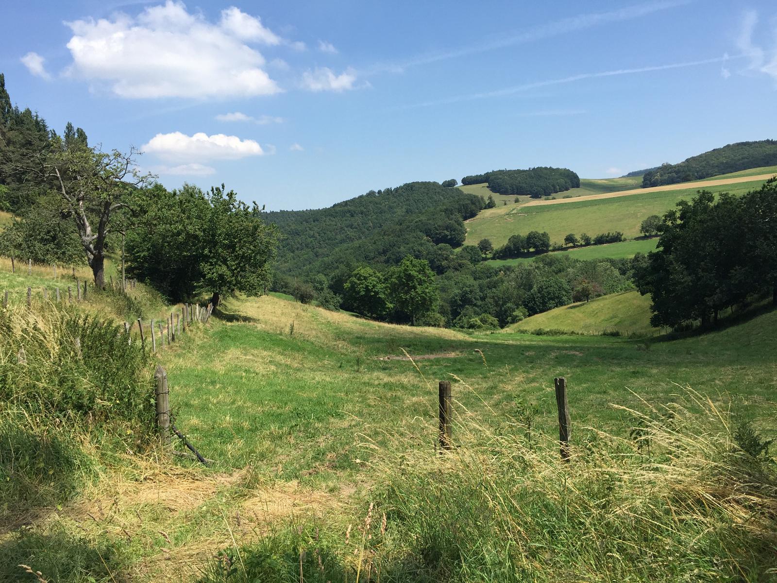
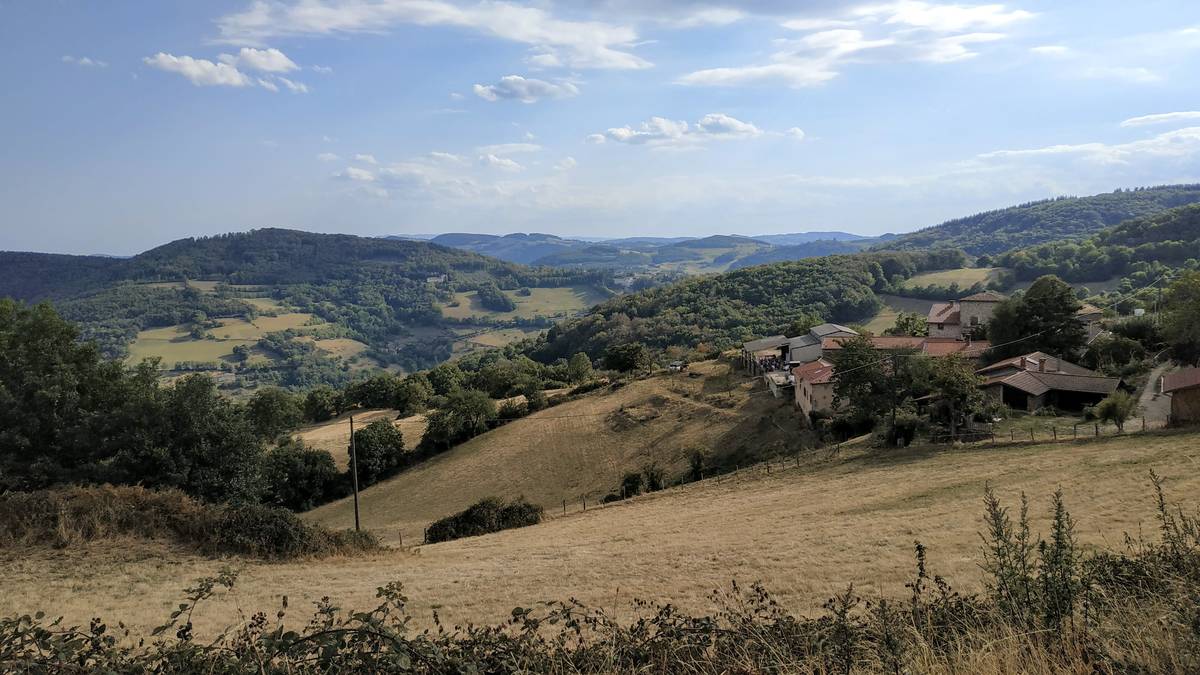
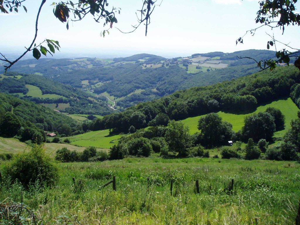
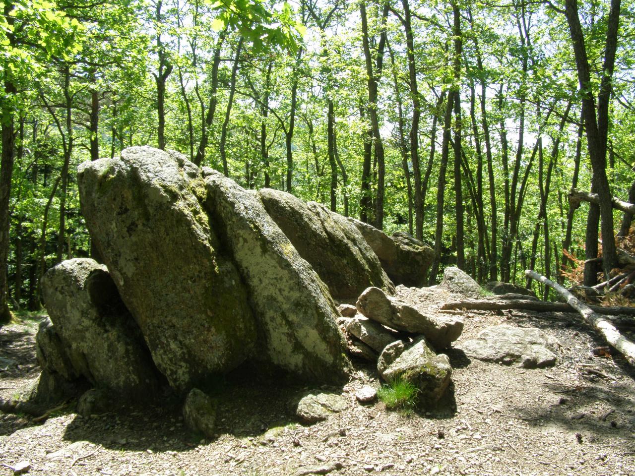
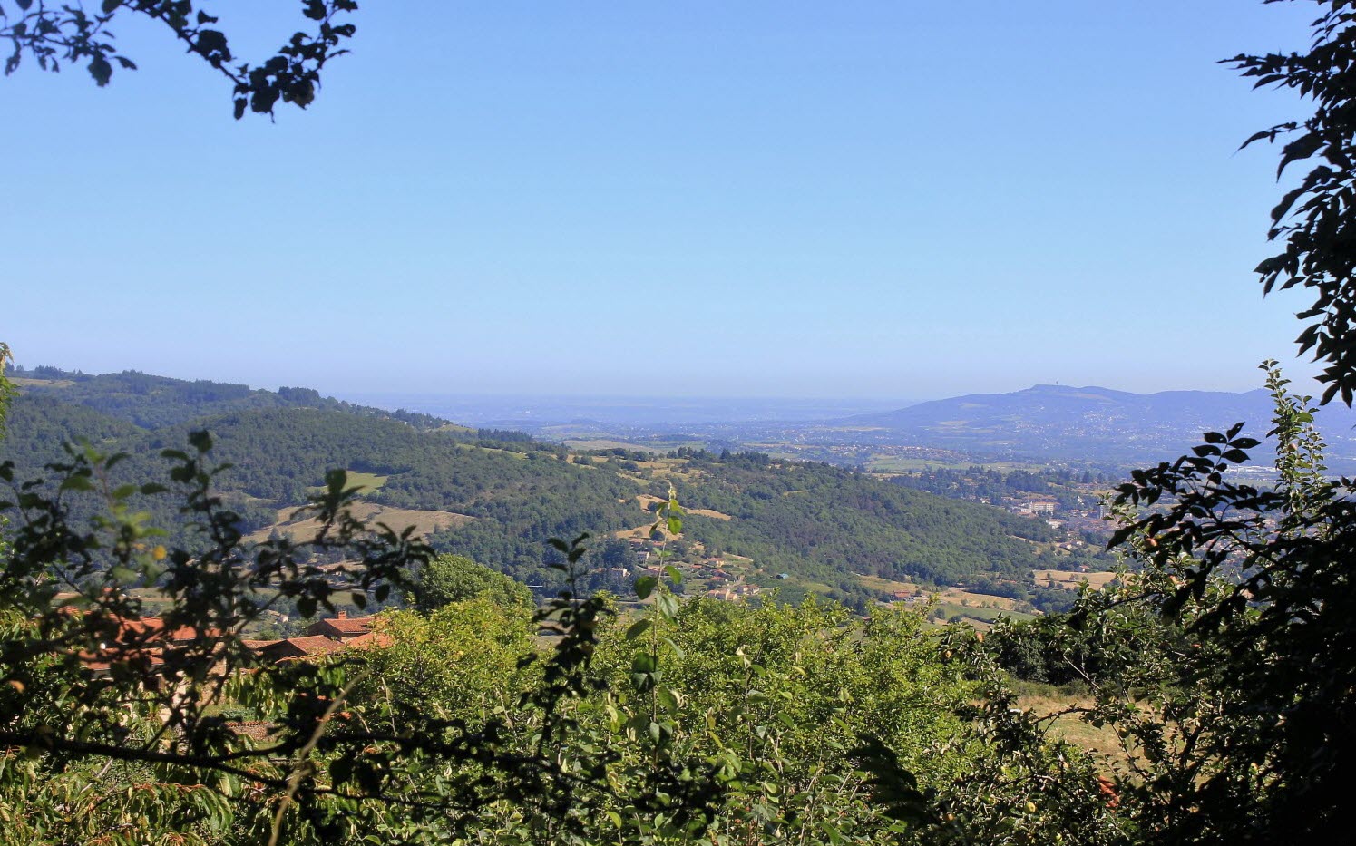
Loop hike within varied landscapes, between forests and fields. The view sometimes clears up to Mont Blanc. Some rare passages on road.

Already more than 200,000 users!
Uphill
450m
Highest point
789m
Downhill
450m
Lowest point
491m
Route type
Loop
Download the map on your smartphone to save battery and rest assured to always keep access to the route, even without signal.
Includes IGN France and Swisstopo.
I indicate whether dogs are allowed or prohibited on this trail
All year
1 rating
Très nature et calme au top.
Bien indiqué balisé.
Also enjoy:

Already more than 200,000 users!