Uphill
70m
Length
5km
Duration
1h30min
Elev gain
70m
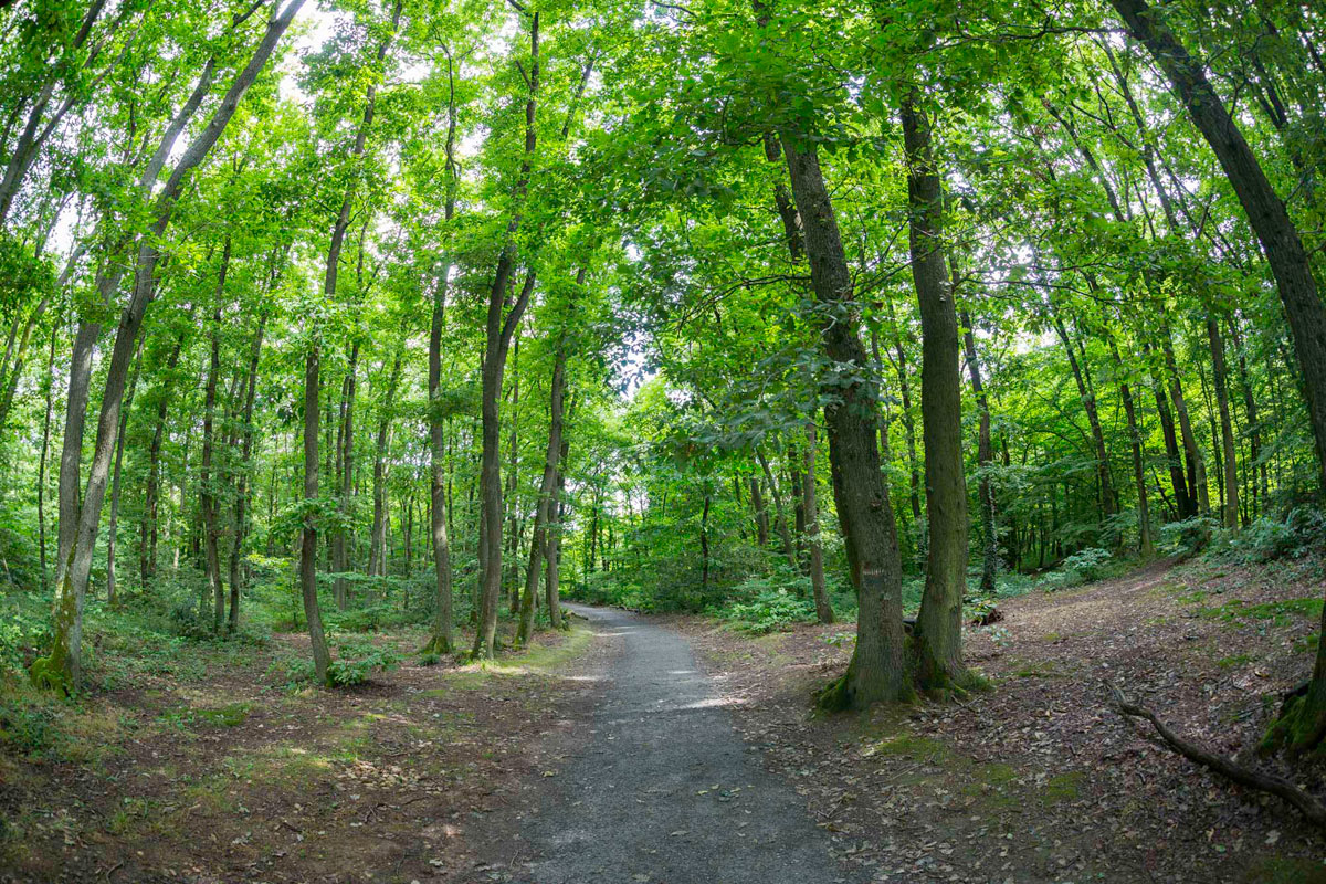
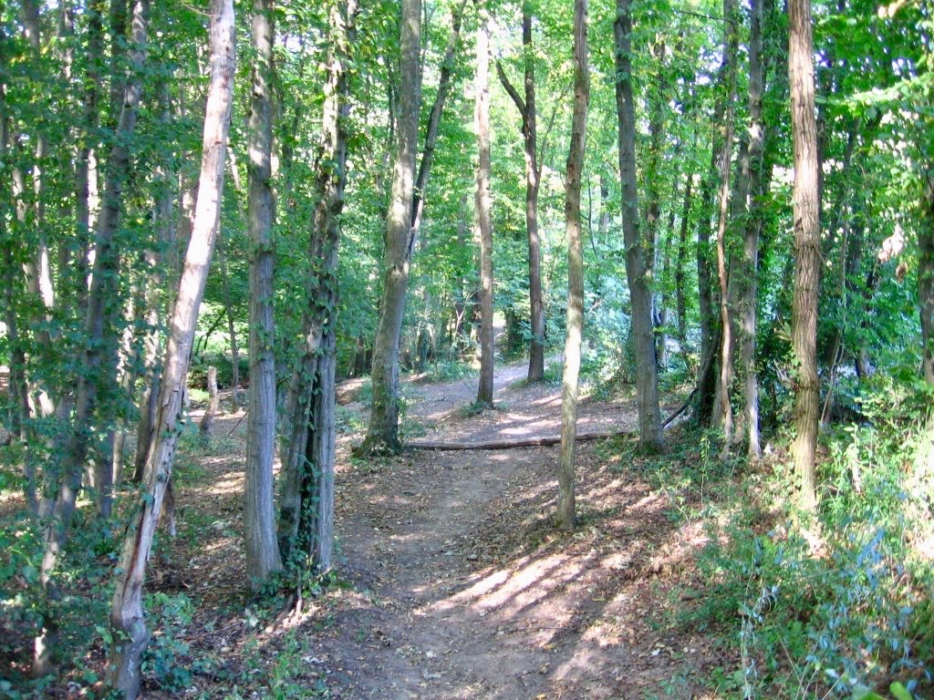
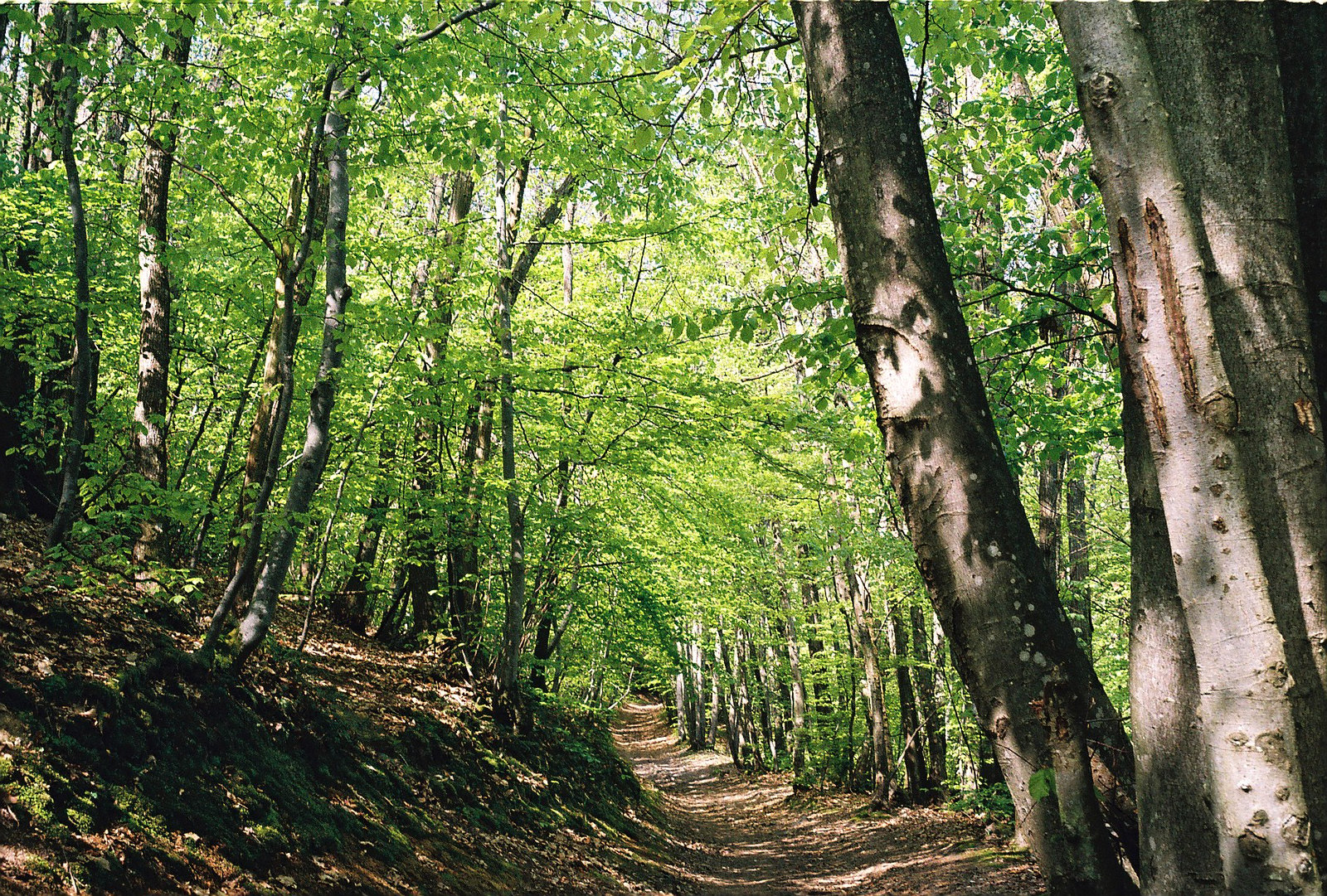
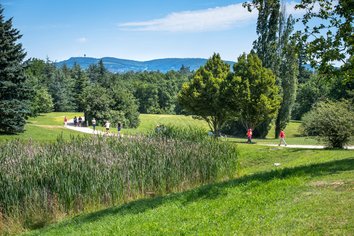
Stroll in a very pleasant park, which offers both wooded areas, large lawns and a 16th century castle.

Already more than 200,000 users!
Uphill
70m
Highest point
310m
Downhill
70m
Lowest point
257m
Route type
Loop
Download the map on your smartphone to save battery and rest assured to always keep access to the route, even without signal.
Includes IGN France and Swisstopo.
Parking du domaine de Lacroix-Laval.
Gare de Casino-Lacroix-Laval nearby.
I indicate whether dogs are allowed or prohibited on this trail
All year
2 ratings
Also enjoy:

Already more than 200,000 users!