Uphill
162m
Length
9km
Duration
2h30min
Elev gain
162m
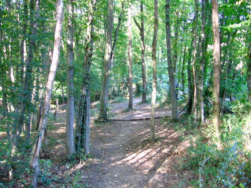
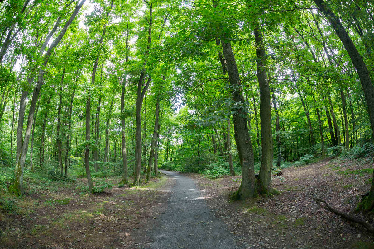
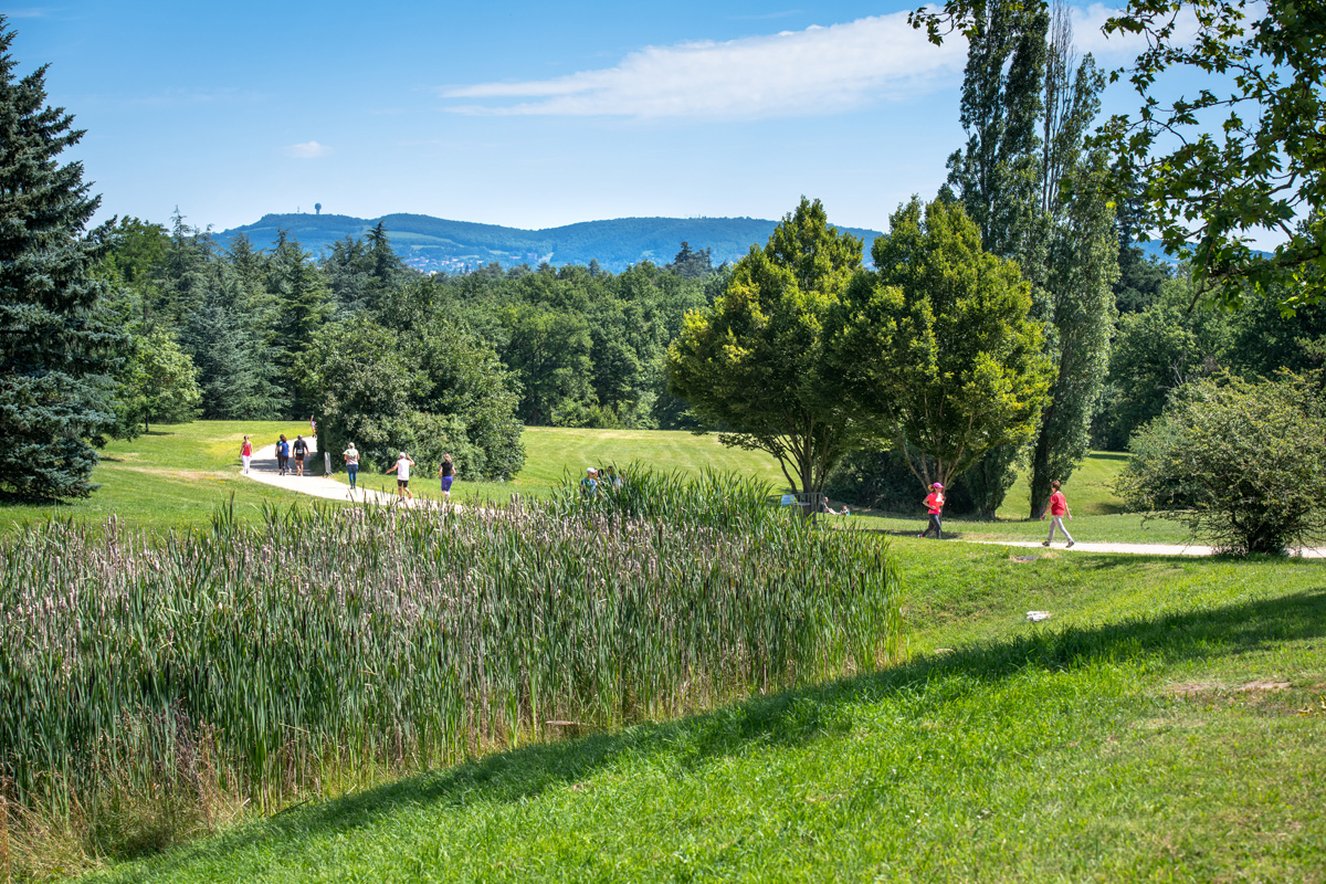
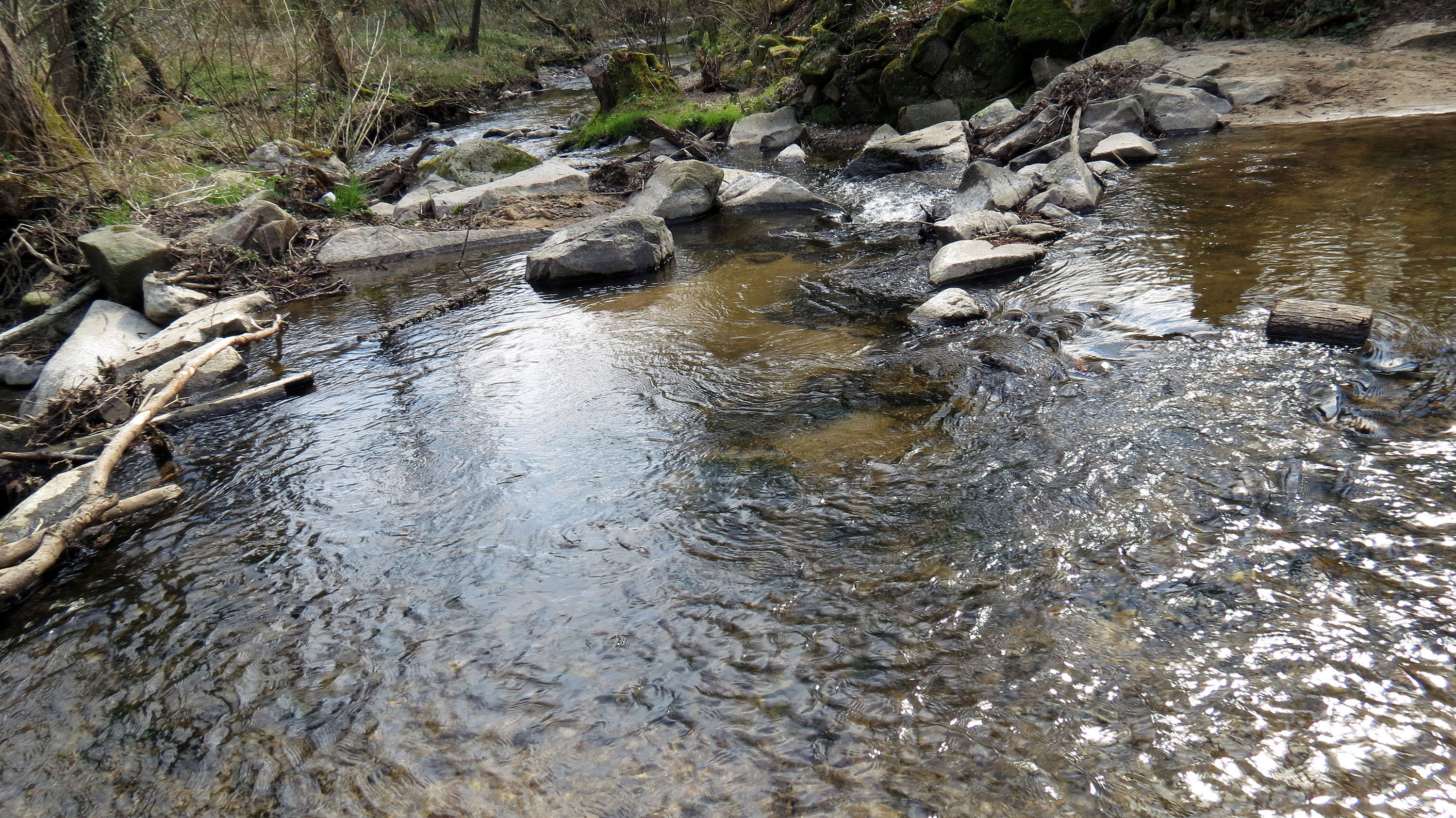
Here is a walk along the water, starting from Francheville in the west of Lyon. The route runs along the Yzeron and passes by the Got mill, before reaching the town of Craponne. Once there, the route turns around and returns to the starting point by the same path.

Already more than 200,000 users!
Uphill
162m
Highest point
257m
Downhill
162m
Lowest point
185m
Route type
There and back
Download the map on your smartphone to save battery and rest assured to always keep access to the route, even without signal.
Includes IGN France and Swisstopo.
I indicate whether dogs are allowed or prohibited on this trail
All year
0 ratings
Also enjoy:

Already more than 200,000 users!