Uphill
111m
Length
4km
Duration
1h30min
Elev gain
111m
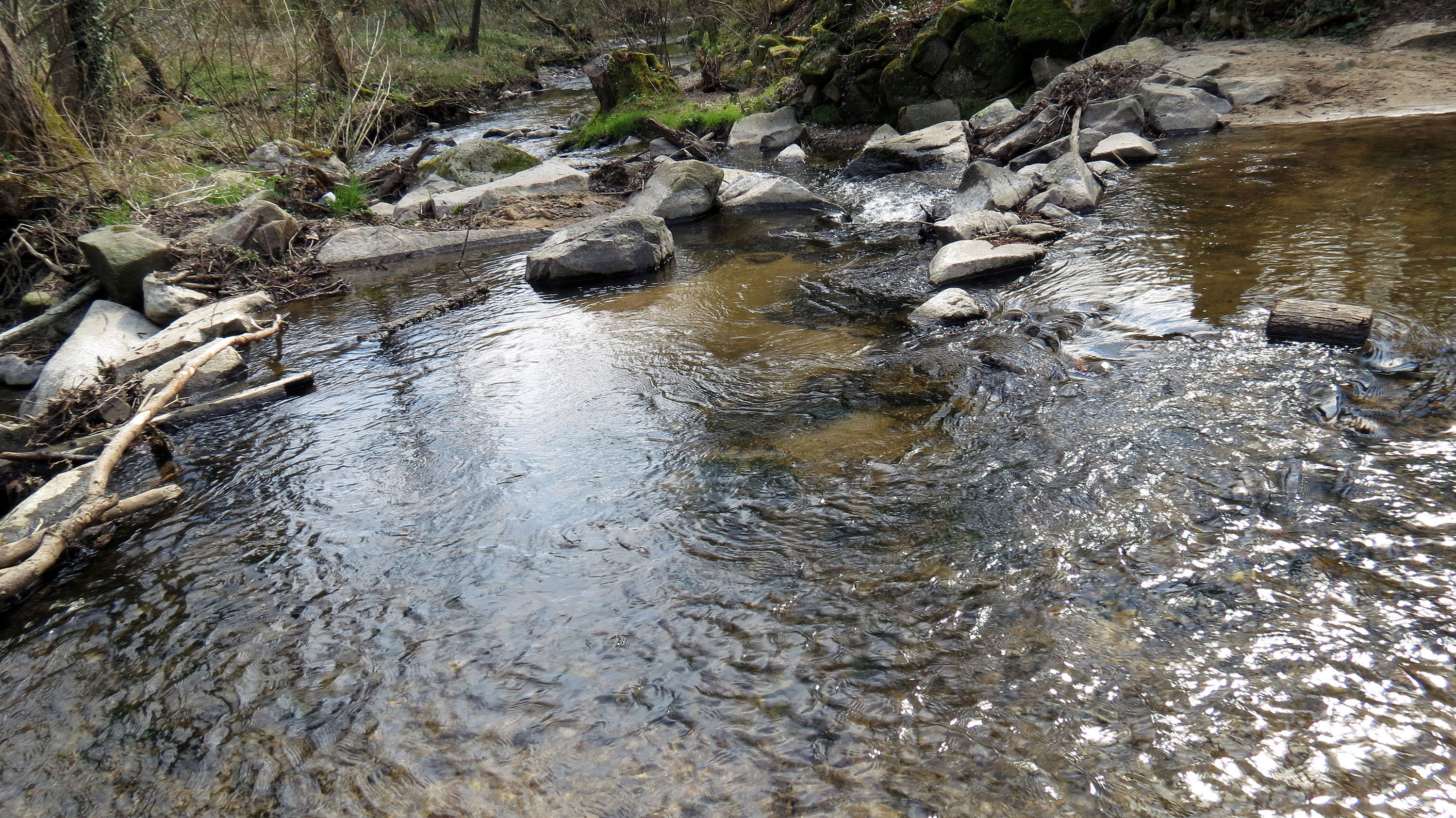
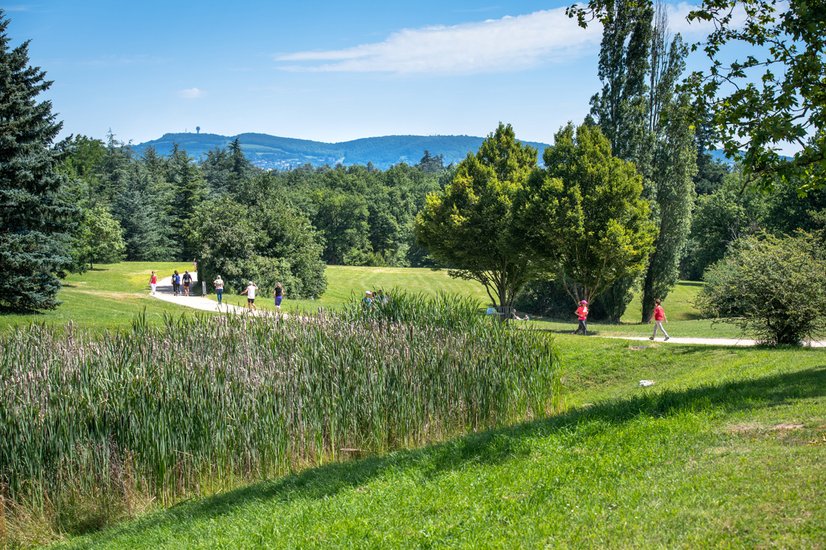
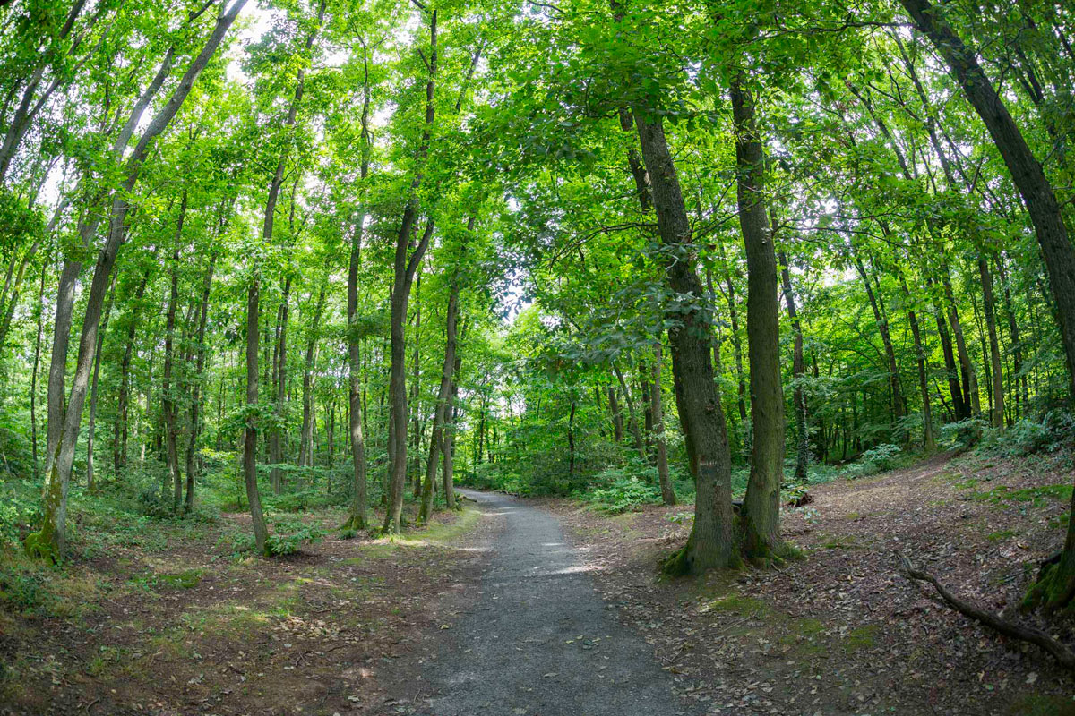
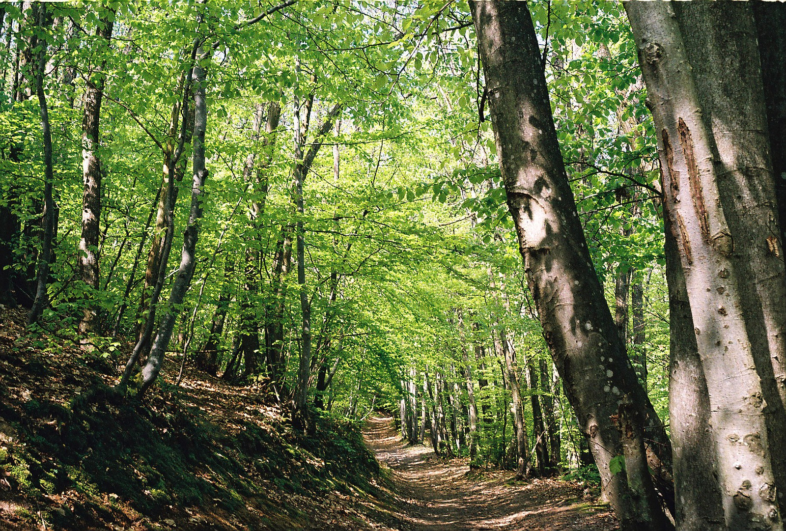
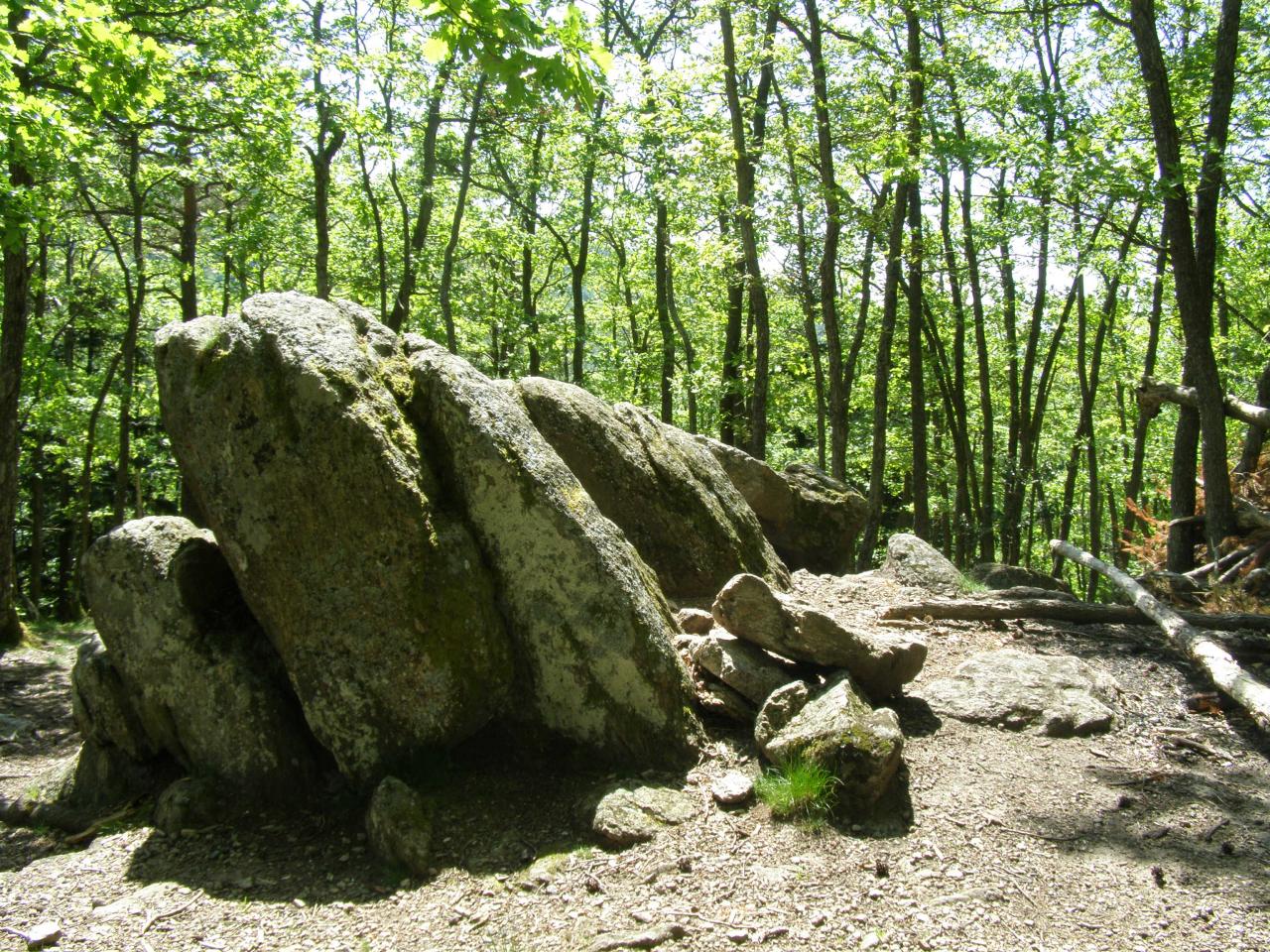
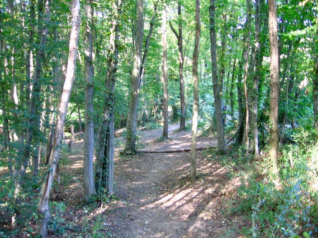
Here is a popular walk for Lyonnais, located between Craponne and Francheville. Between forest, meadows and banks of the Yzeron, this route offers beautiful landscapes.

Already more than 200,000 users!
Uphill
111m
Highest point
311m
Downhill
111m
Lowest point
222m
Route type
Loop
Download the map on your smartphone to save battery and rest assured to always keep access to the route, even without signal.
Includes IGN France and Swisstopo.
1 rating
Also enjoy:

Already more than 200,000 users!