Uphill
97m
Length
4km
Duration
1h
Elev gain
97m
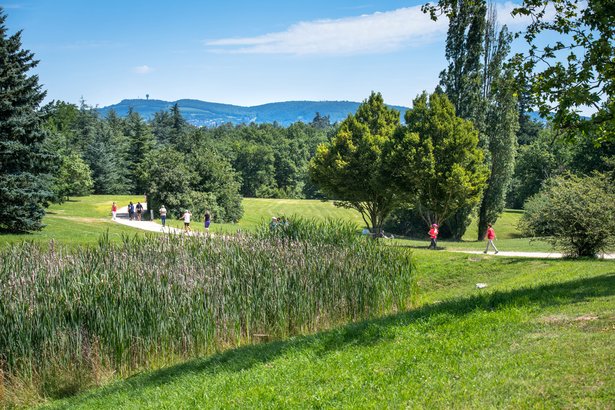
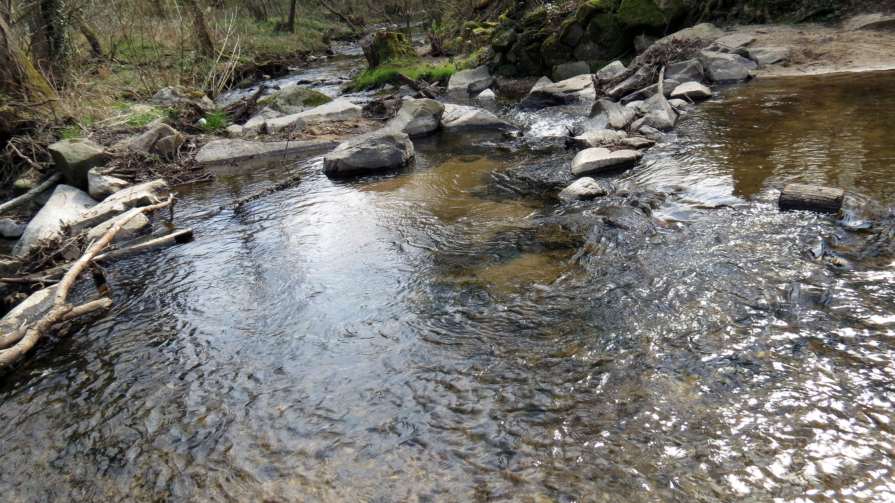
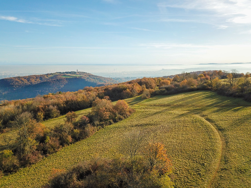
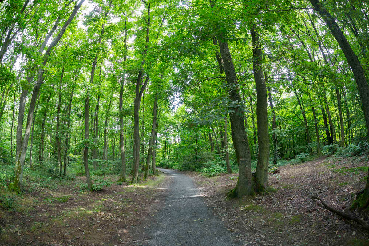
Walk in the forest of Serres taking the Planches and Jansavon paths. The setting is pleasant, both in the undergrowth and along a river.

Already more than 200,000 users!
Uphill
97m
Highest point
308m
Downhill
97m
Lowest point
237m
Route type
Loop
Download the map on your smartphone to save battery and rest assured to always keep access to the route, even without signal.
Includes IGN France and Swisstopo.
Parking de la gare de Dardilly-Les-Mouilles.
Gare de Dardilly-Les-Mouilles covered with TER, and TCL buses nearby.
1 rating
Also enjoy:

Already more than 200,000 users!