Uphill
26m
France > Auvergne-Rhône-Alpes > Ain > Haut-Jura Nature Park
Length
4km
Duration
1h
Elev gain
26m
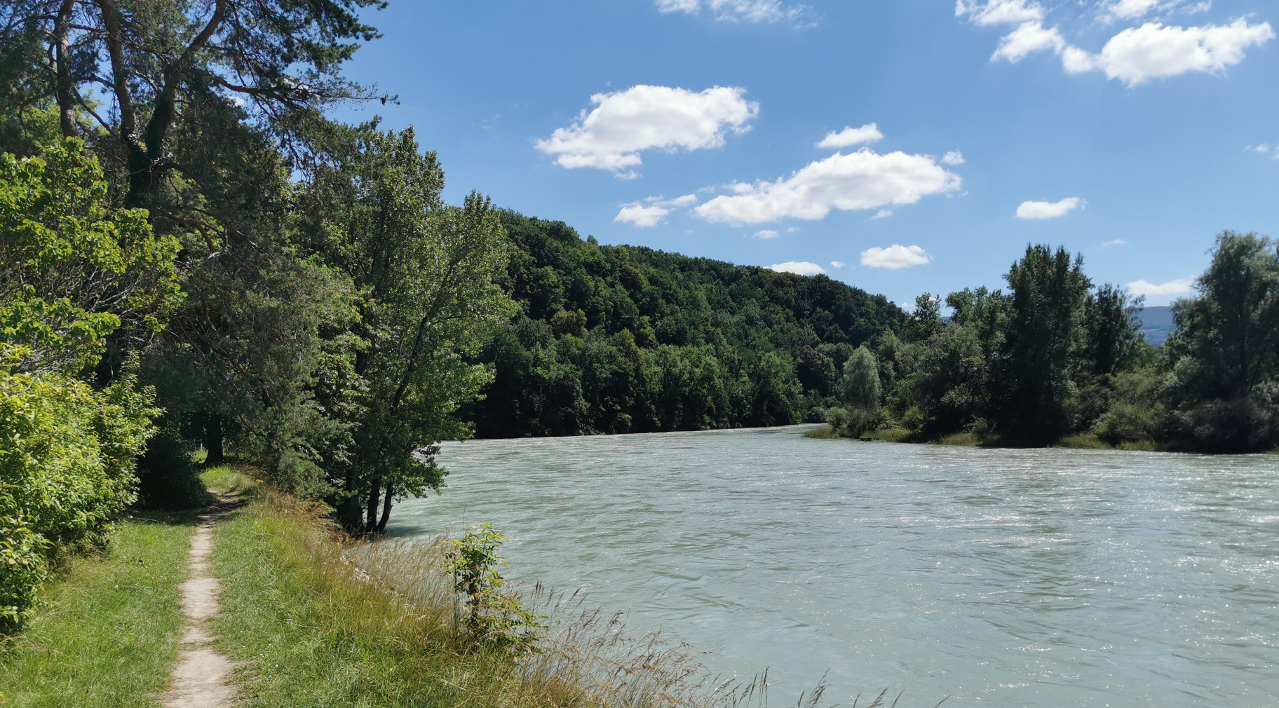
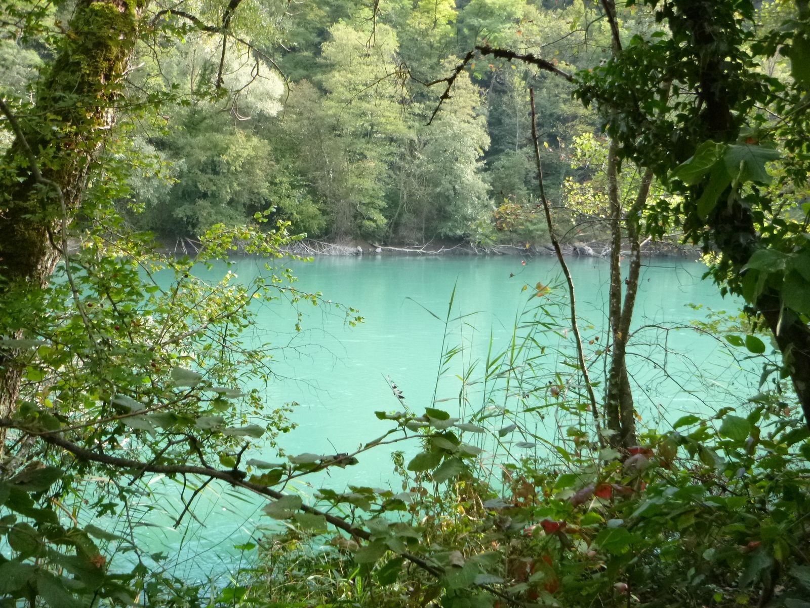
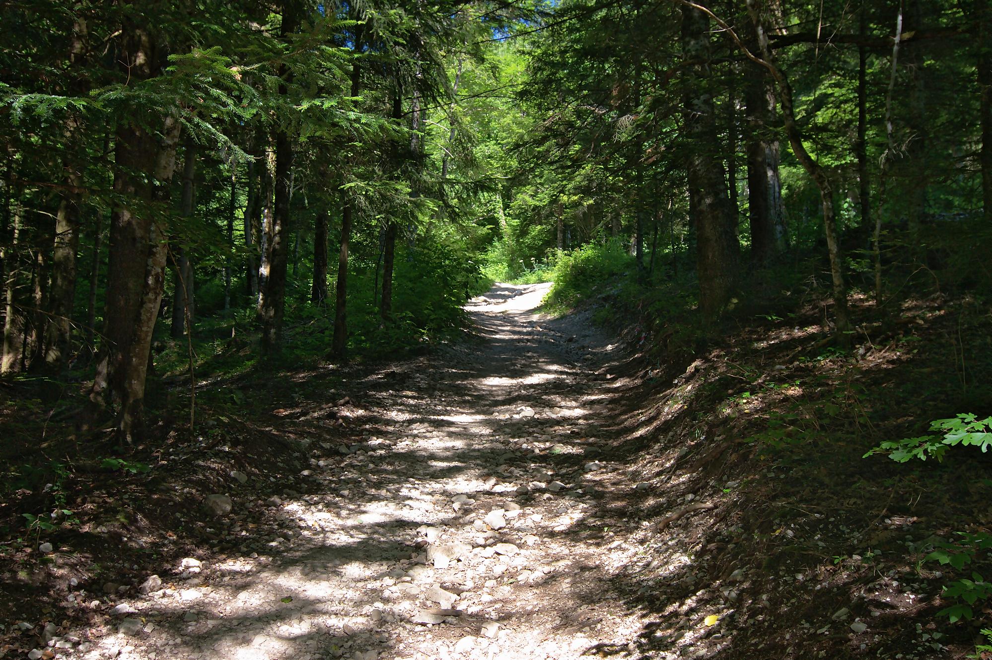
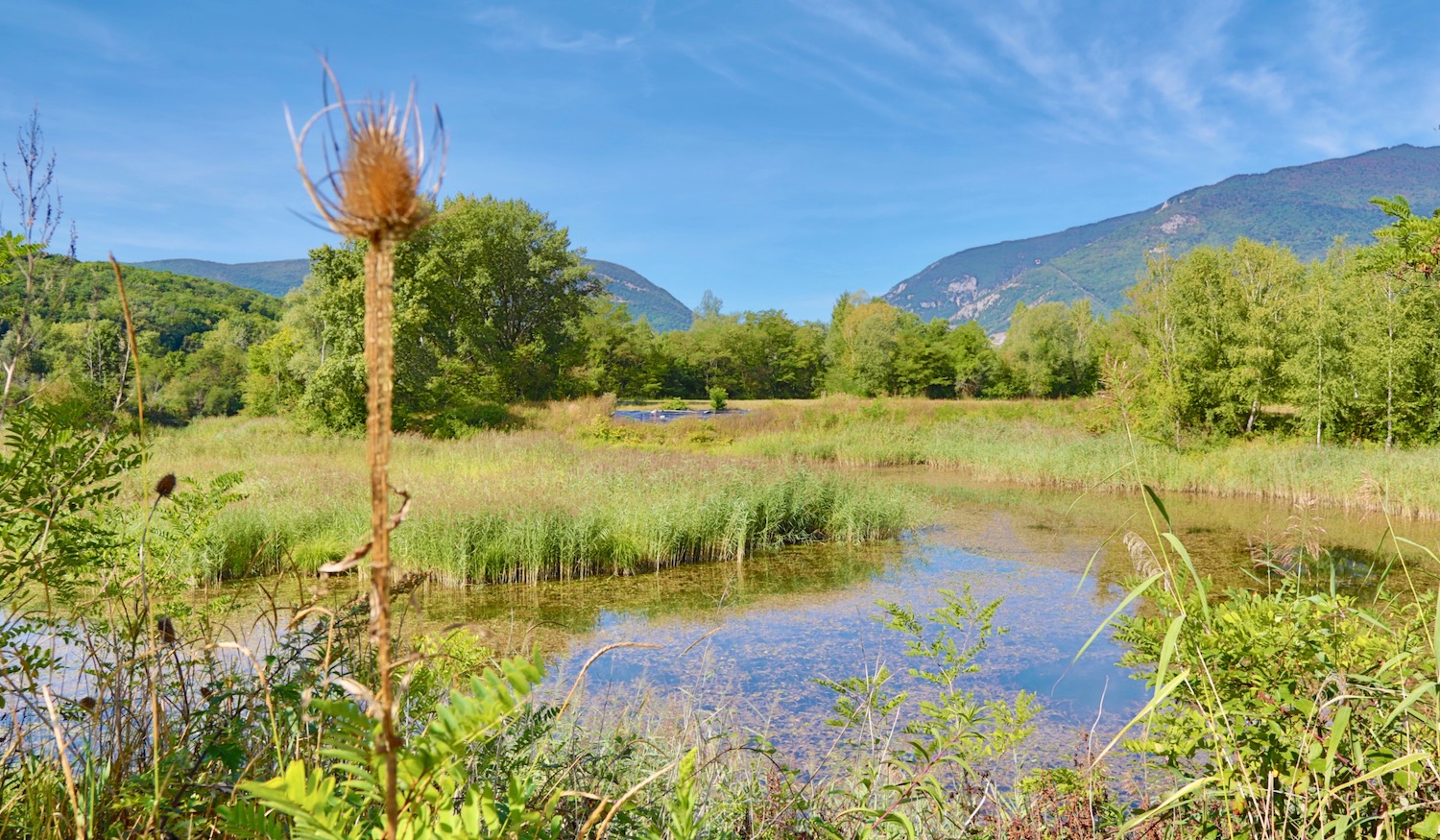
Here is a family-friendly trail that will satisfy young and old. This path winds through the Étournel wetland, on the banks of the Rhône.

Already more than 200,000 users!
Uphill
26m
Highest point
343m
Downhill
26m
Lowest point
327m
Route type
There and back
Download the map on your smartphone to save battery and rest assured to always keep access to the route, even without signal.
Includes IGN France and Swisstopo.
I indicate whether dogs are allowed or prohibited on this trail
All year
0 ratings
Also enjoy:

Already more than 200,000 users!