Uphill
940m
Length
14km
Duration
7h
Elev gain
940m
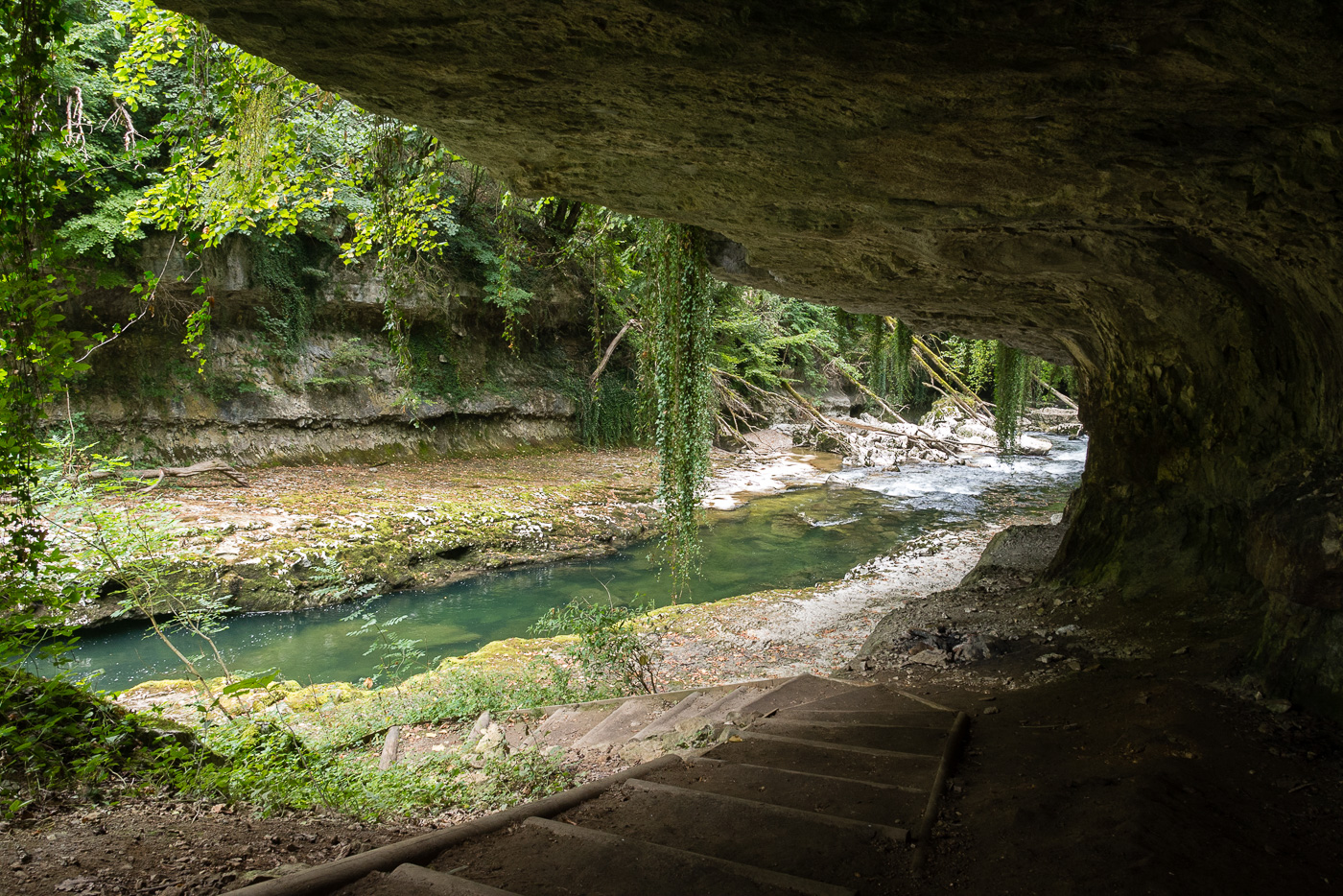
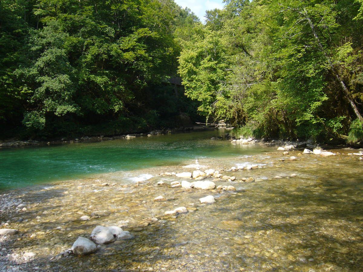
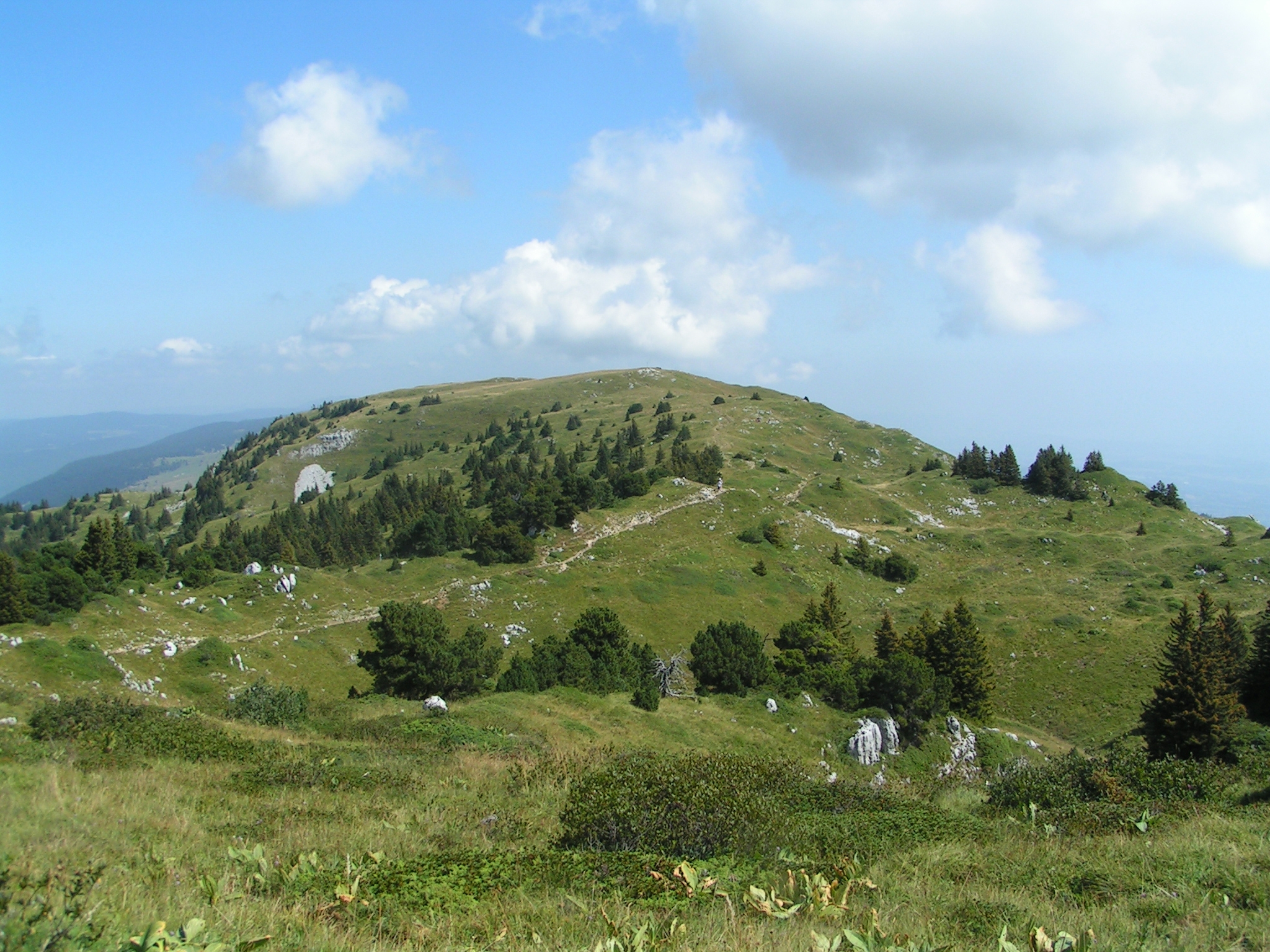
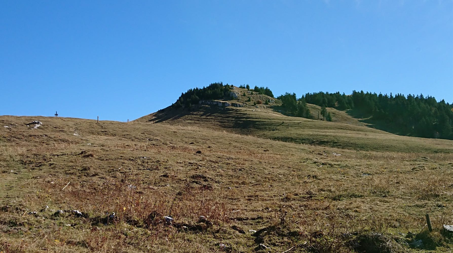
Walk to the Grand Crêt d'Eau, a summit of the Jura massif which in fact corresponds to several crests, the highest of which is that of Goutte (1,621 m). The path takes place between forests and pastures, and allows to explore the crests of Miroir, Milieu, Goutte, and Éguillon. Beautiful panorama on Lake Geneva and the Alps.

Already more than 200,000 users!
Uphill
940m
Highest point
1606m
Downhill
940m
Lowest point
755m
Route type
Loop
Download the map on your smartphone to save battery and rest assured to always keep access to the route, even without signal.
Includes IGN France and Swisstopo.
I indicate whether dogs are allowed or prohibited on this trail
From May to October
2 ratings
Also enjoy:

Already more than 200,000 users!