Uphill
166m
Length
6km
Duration
2h
Elev gain
166m
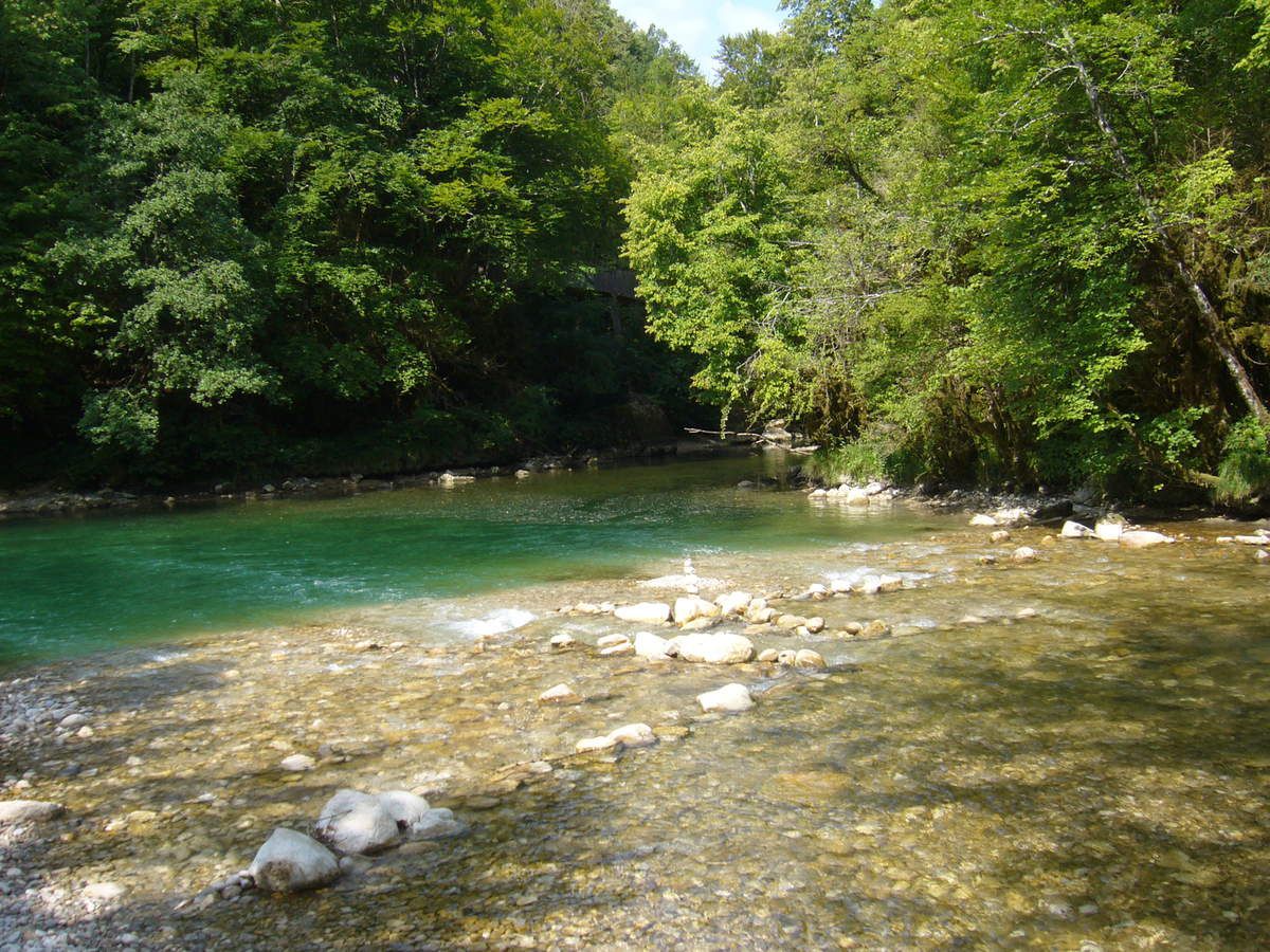
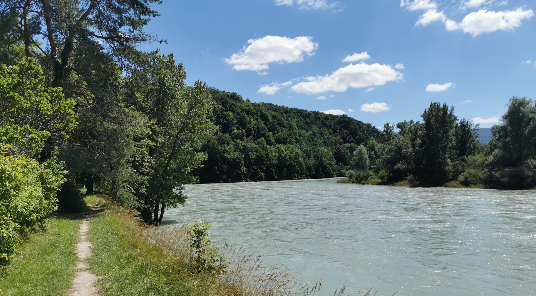
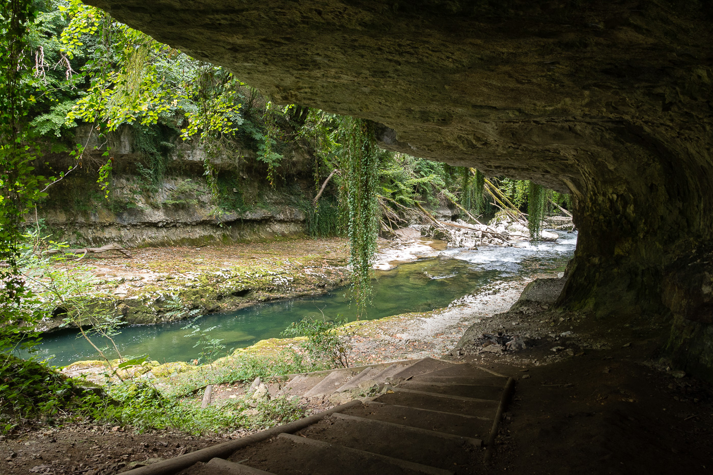
This walk begins near Bellegarde-sur-Valserine station. The route runs along and crosses the Valserine river, a beautiful turquoise color, and passes by the Green mill and the Oules bridge.

Already more than 200,000 users!
Uphill
166m
Highest point
391m
Downhill
166m
Lowest point
345m
Route type
There and back
Download the map on your smartphone to save battery and rest assured to always keep access to the route, even without signal.
Includes IGN France and Swisstopo.
3 ratings
Sentier fermé
Landscape is amazing!
Just be careful for people suffering of vertigo some parts can be tricky.
Also enjoy:

Already more than 200,000 users!