Uphill
318m
Length
12km
Duration
3h30min
Elev gain
318m
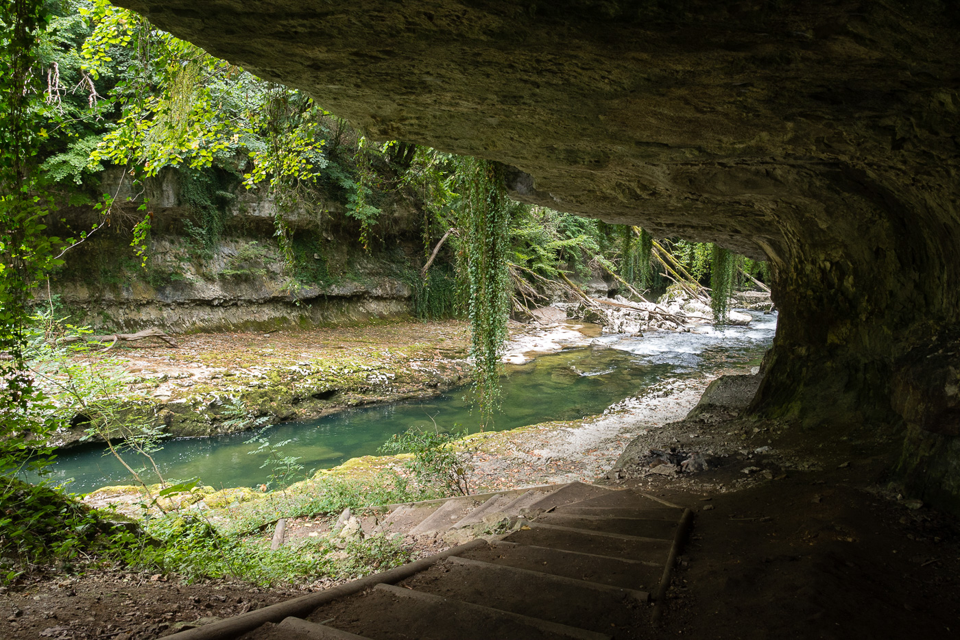
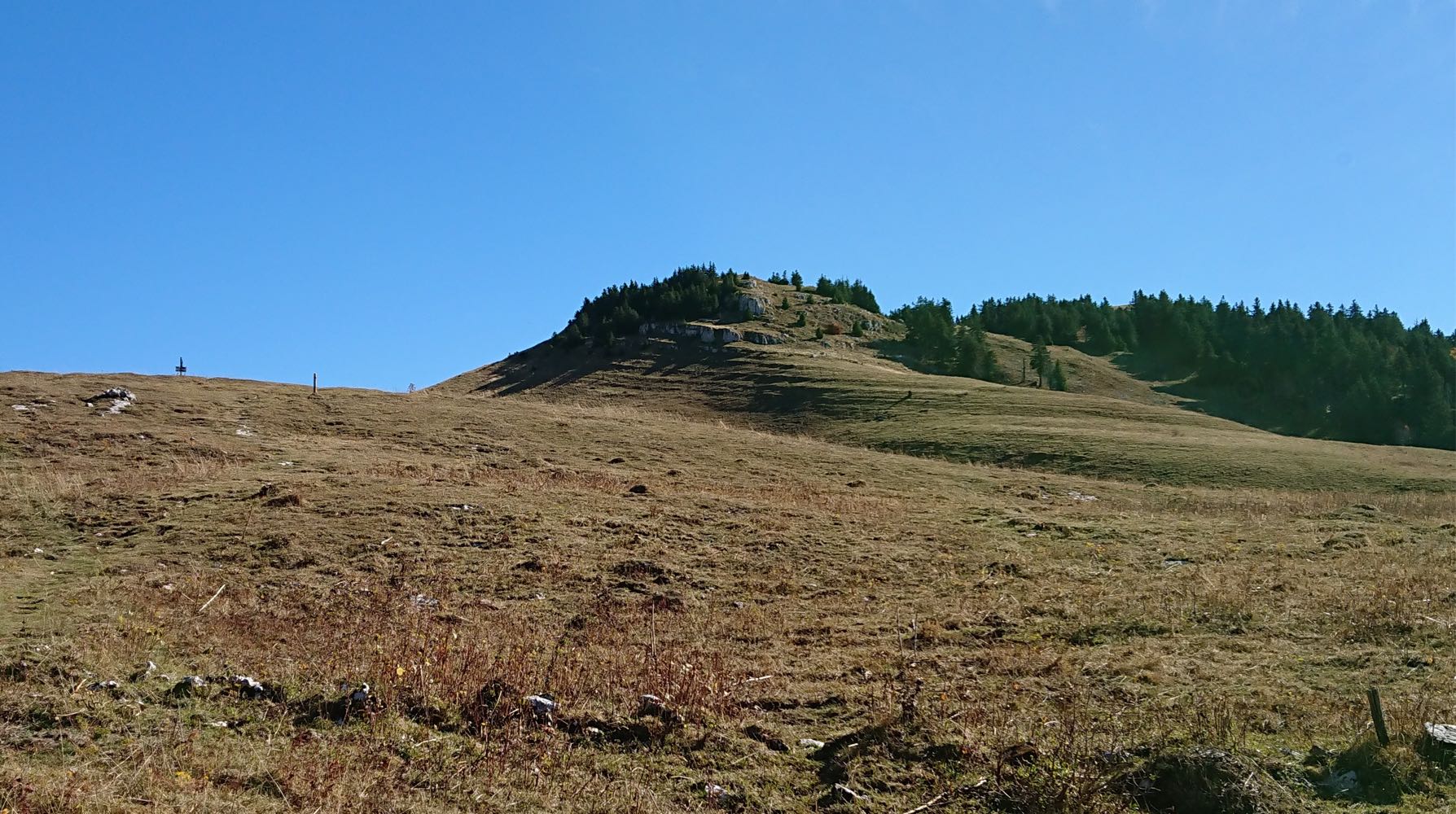
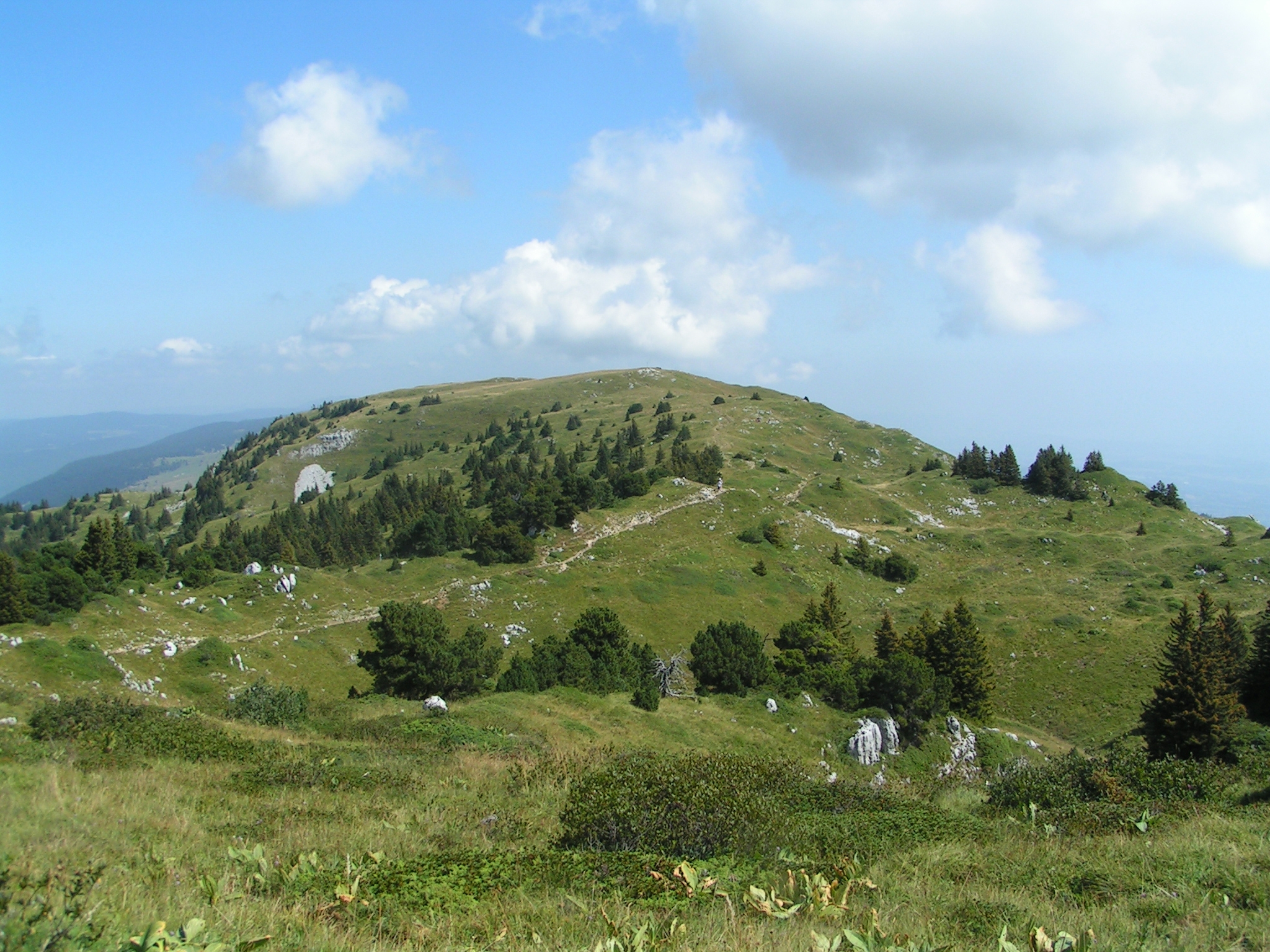
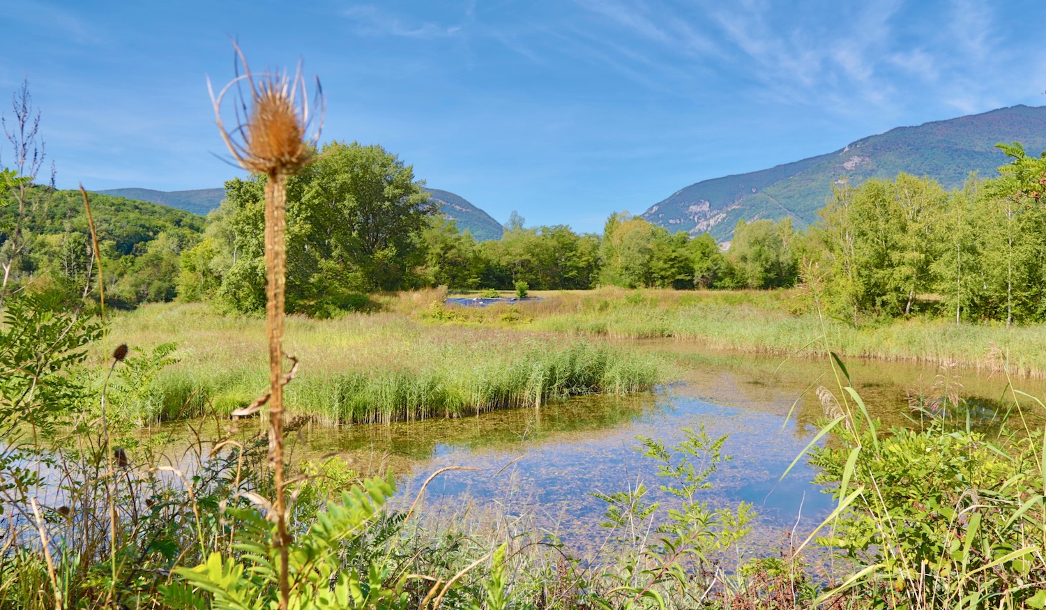
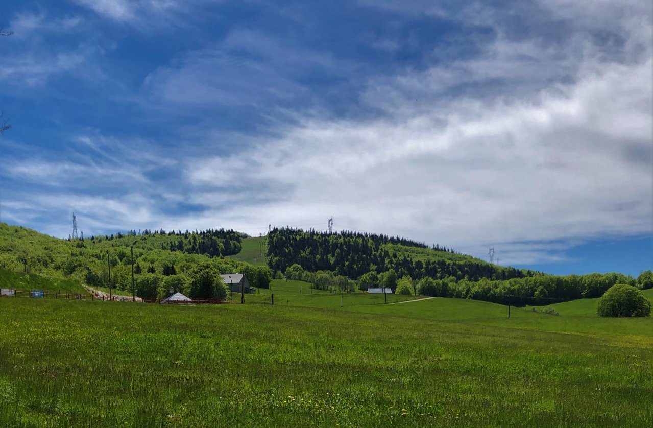
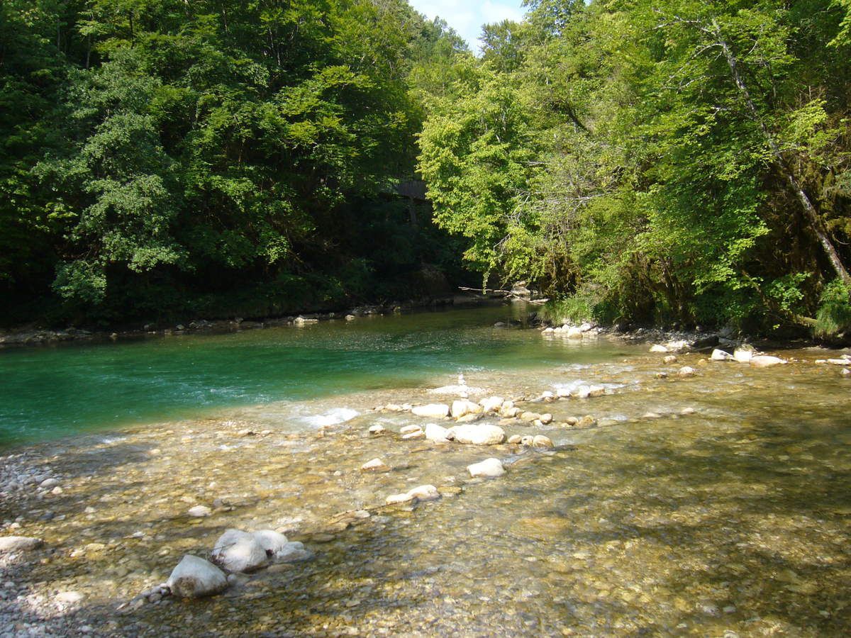
This is a beautiful hike starting from Bellegarde-sur-Valserine. The path begins mainly in the forest and follows the Valserine until the waters merge with the Semine. It then takes the direction of Confort, thus offering a view of the Bellegarde valley. Finally, the route takes a clear path called the Tram route to return to the starting point.

Already more than 200,000 users!
Uphill
318m
Highest point
567m
Downhill
318m
Lowest point
353m
Route type
Loop
Download the map on your smartphone to save battery and rest assured to always keep access to the route, even without signal.
Includes IGN France and Swisstopo.
0 ratings
Also enjoy:

Already more than 200,000 users!