Uphill
243m
Length
8km
Duration
2h30min
Elev gain
243m
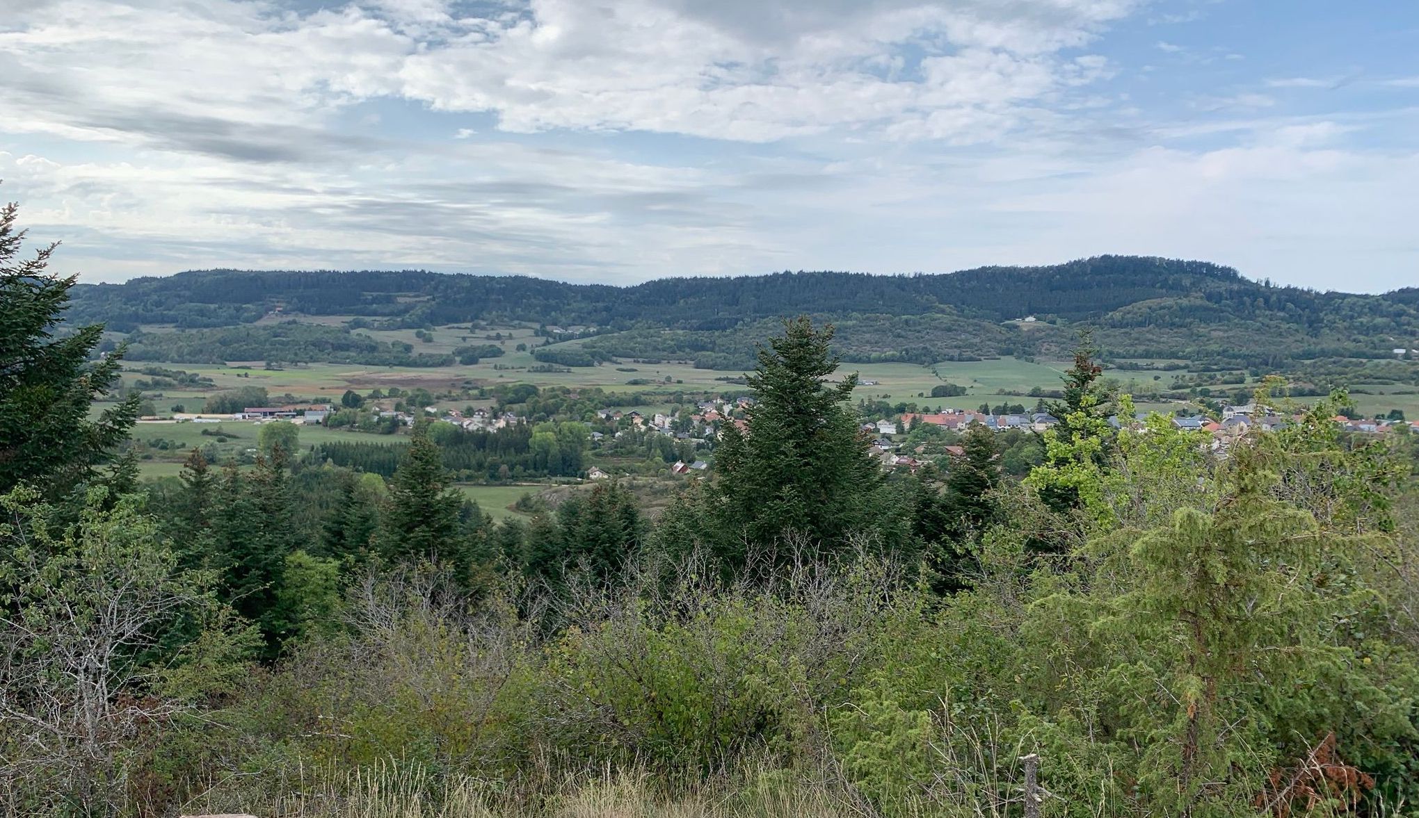
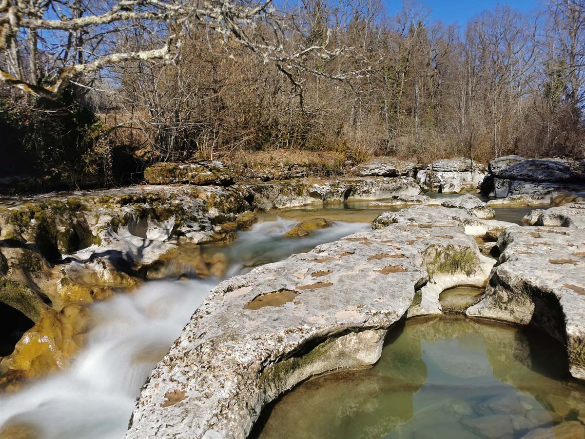
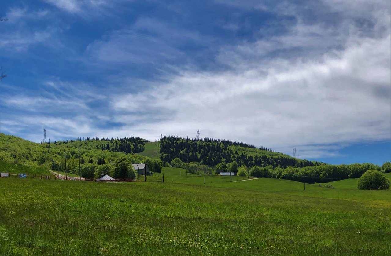
This route winds through the pastures and forests of the Retord plateau, around the Plans d'Hotonnes ski area. Note that many other trails exist on the plateau.

Already more than 200,000 users!
Uphill
243m
Highest point
1207m
Downhill
243m
Lowest point
1039m
Route type
Loop
Download the map on your smartphone to save battery and rest assured to always keep access to the route, even without signal.
Includes IGN France and Swisstopo.
Parking at the start of the hike, in front of the cross-country ski center.
I indicate whether dogs are allowed or prohibited on this trail
Can be difficult in Winter
0 ratings
Also enjoy:

Already more than 200,000 users!