Uphill
165m
Length
4km
Duration
1h30min
Elev gain
165m
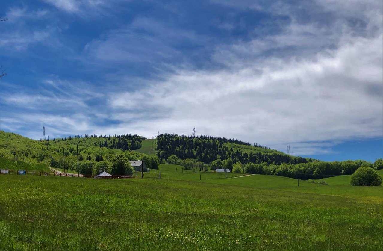
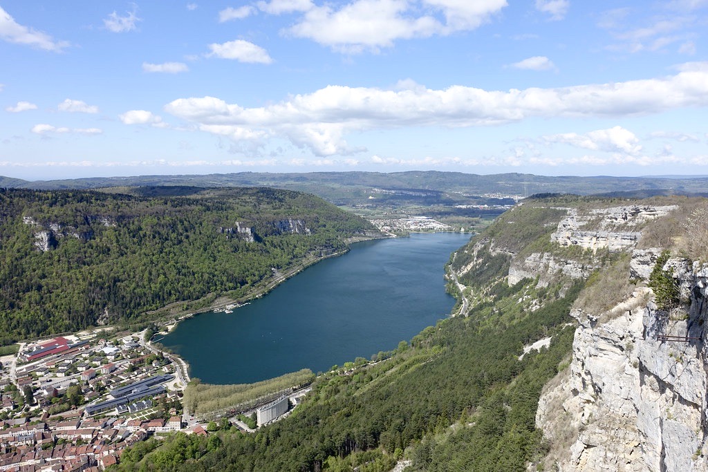
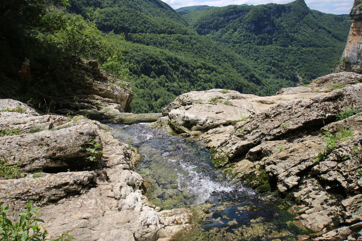
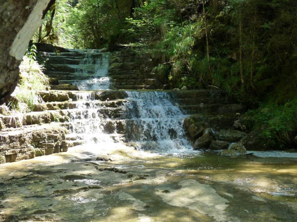
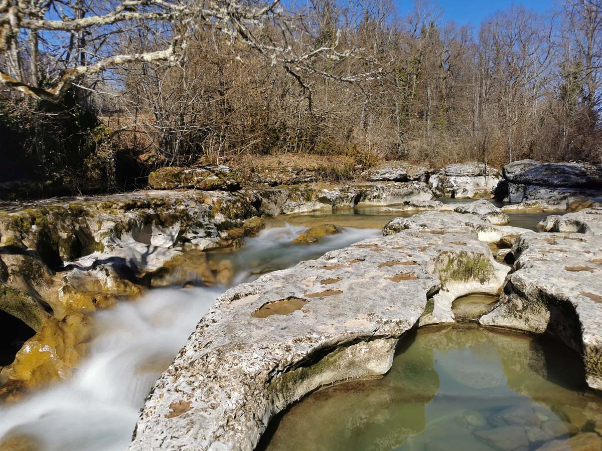
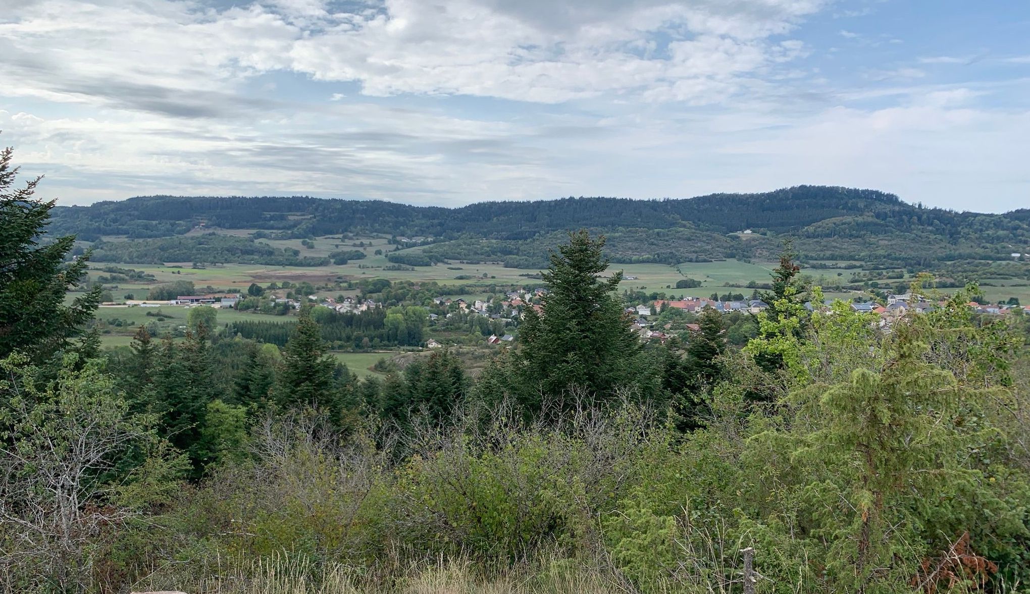
Starting from the village of Brénod, this route makes a loop in the pretty woods around. The path crosses the Albarine twice and takes a little height in order to offer a nice point of view.

Already more than 200,000 users!
Uphill
165m
Highest point
982m
Downhill
165m
Lowest point
818m
Route type
Loop
Download the map on your smartphone to save battery and rest assured to always keep access to the route, even without signal.
Includes IGN France and Swisstopo.
I indicate whether dogs are allowed or prohibited on this trail
Can be difficult in Winter
0 ratings
Also enjoy:

Already more than 200,000 users!